MyTopo
Classic USGS Warrensburg New York 7.5'x7.5' Topo Map
Couldn't load pickup availability
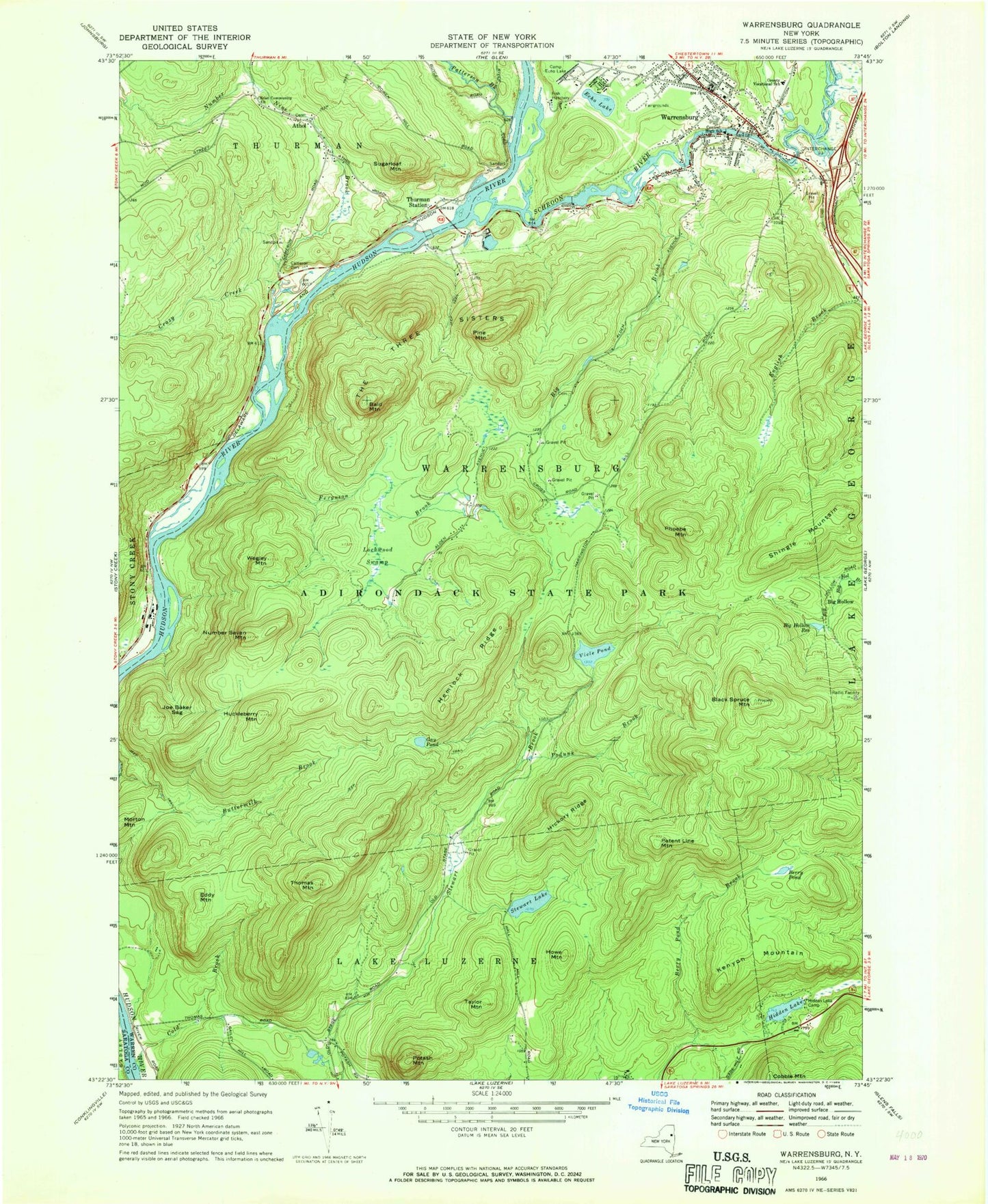
Historical USGS topographic quad map of Warrensburg in the state of New York. Typical map scale is 1:24,000, but may vary for certain years, if available. Print size: 24" x 27"
This quadrangle is in the following counties: Saratoga, Warren.
The map contains contour lines, roads, rivers, towns, and lakes. Printed on high-quality waterproof paper with UV fade-resistant inks, and shipped rolled.
Contains the following named places: Bald Mountain, Berry Pond, Big Brook, Big Hollow Reservoir, Black Spruce Mountain, Cameron Cemetery, Camp Echo Lake, Central High School, Christ Community Church, Cold Brook, Crazy Creek, Echo Lake, Eddy Mountain, Ferguson Brook, Gay Pond, Hemlock Ridge, Hickory Ridge, Hidden Lake, Hidden Lake Camp, Howe Mountain, Huckleberry Mountain, Joe Baker Sag, Kenyon Mountain, Lockwood Swamp, Morton Mountain, Number Nine Brook, Number Seven Mountain, Patent Line Mountain, Patterson Brook, Phoebe Mountain, Pine Mountain, Podunk Brook, Potash Mountain, Schroon River, Shingle Mountain, Stewart Lake, Sugarloaf Mountain, Taylor Mountain, The Three Sisters, Thomas Mountain, Thurman Station, Viele Pond, Warrensburg, Wegley Mountain, Athol, Big Hollow, WKBE-FM (Warrensburg), Pendell Cemetery, Warrensburg Cemetery, Warrensburg Junior - Senior High School, Faith Baptist Church, First Baptist Church of Warrensburg, First Presbyterian Church, First United Methodist Church, One Thousand Acres Ranch Resort, Warrensburg Travel Park, Richards Library, Willard Mountain, Warrensburg Elementary School, Warrensburg Volunteer Fire Company, Thurman Emergency Medical Services, Warrensburg Emergency Medical Services, Jimmys Peak, Athol Post Office, Warrensburg Post Office


