MyTopo
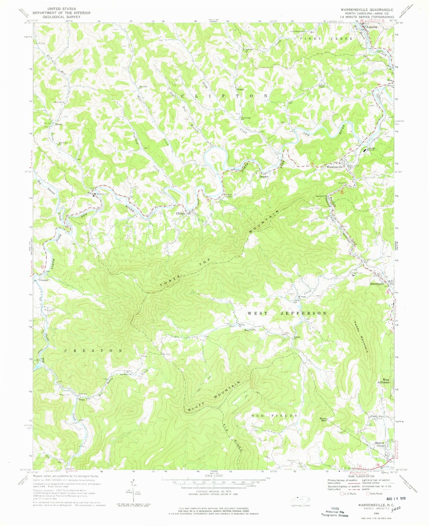
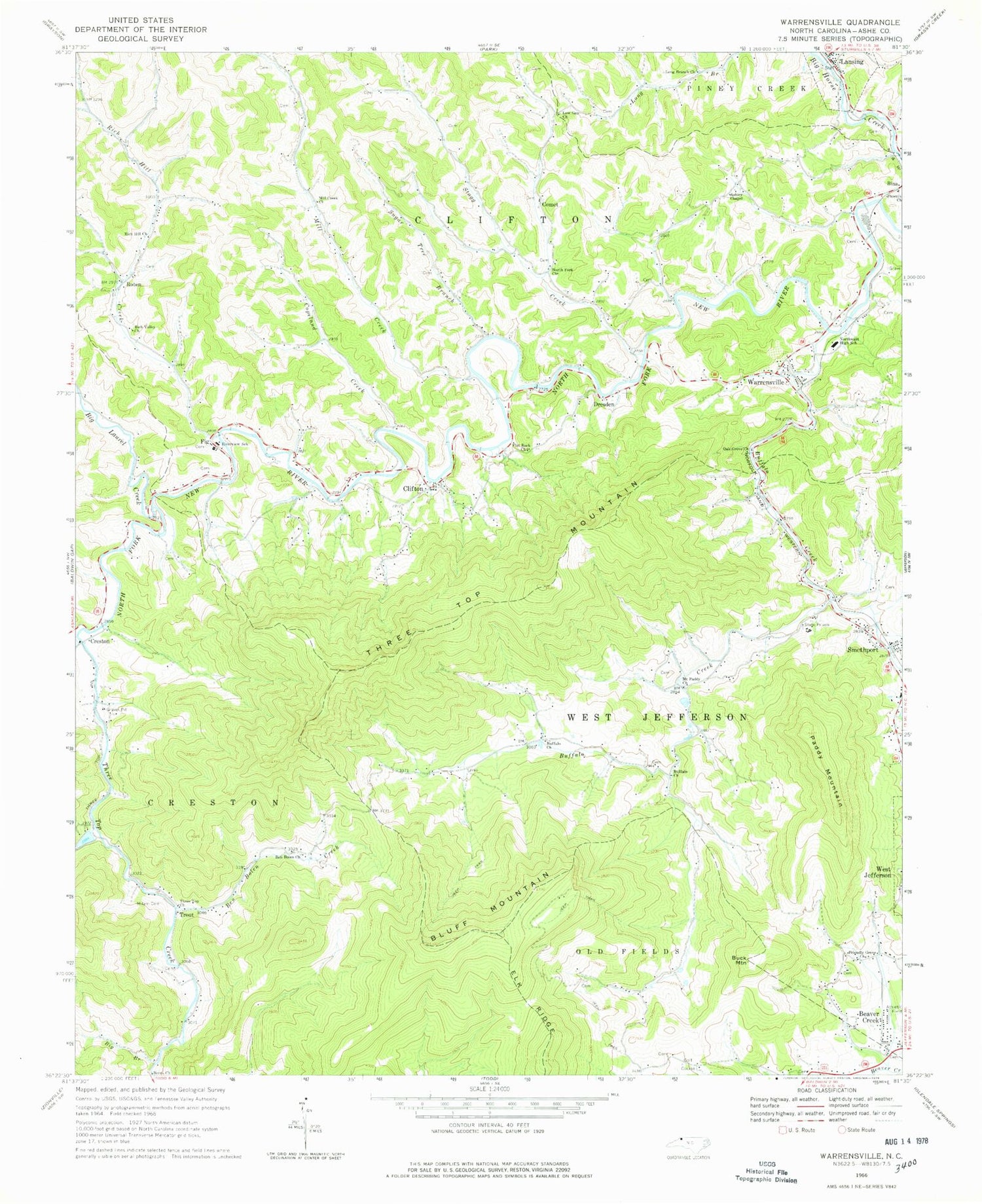
Classic USGS Warrensville North Carolina 7.5'x7.5' Topo Map
Couldn't load pickup availability
Historical USGS topographic quad map of Warrensville in the state of North Carolina. Typical map scale is 1:24,000, but may vary for certain years, if available. Print size: 24" x 27"
This quadrangle is in the following counties: Ashe.
The map contains contour lines, roads, rivers, towns, and lakes. Printed on high-quality waterproof paper with UV fade-resistant inks, and shipped rolled.
Contains the following named places: Ashley Chapel, Ben Bolen Church, Ben Bolen Creek, Berea Church, Big Branch, Bluff Mountain, Buffalo Church, Buffalo Church, Buffalo Creek, Claybank Creek, Copeland Creek, Fig, Flat Rock Church, Friendly Grove Church, Little Buffalo Creek, Long Branch Church, Long Hope Creek, Low Gap Church, Milam Cemetery, Mill Creek Church, Mount Paddy Church, North Fork Church, Northwest High School, Oak Grove Church, Paddy Mountain, Phoenix Church, Rich Hill Church, Rich Valley Church, Riverview School, Smethport, Sugar Tree Branch, Three Top Church, Three Top Creek, Mountain Aire Golf Club, Ashe County, Big Laurel Creek, Lansing, Mill Creek, Old Field Branch, Rich Hill Creek, Stagg Creek, Beaver Creek, Buck Mountain, Clifton, Comet, Creston, Dresden, Roten, Three Top Mountain, Trout, Warrensville, Tree Top, Township of Clifton, Township of Creston, Township of West Jefferson, Town of Lansing, Weaver Cemetery, Riverview Missionary Baptist Church, J O Blevens Cemetery, Lansing Volunteer Fire and Rescue, Warrensville Volunteer Fire and Rescue, Creston Volunteer Fire Department, Creston Post Office, Warrensville Post Office, Lansing Post Office, Mountain Bogs National Wildlife Refuge


