MyTopo
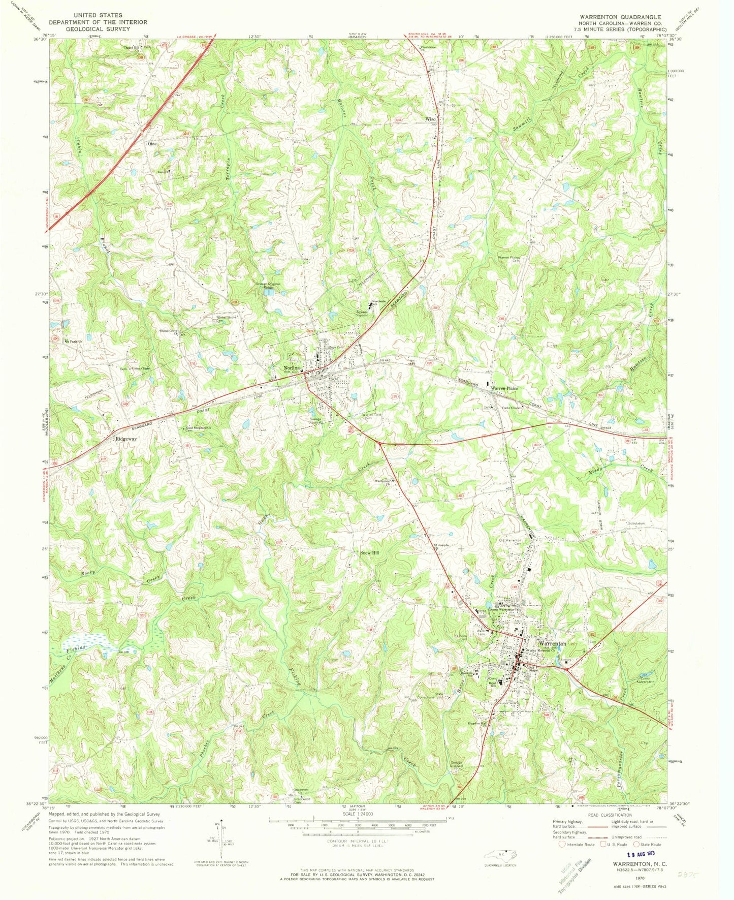
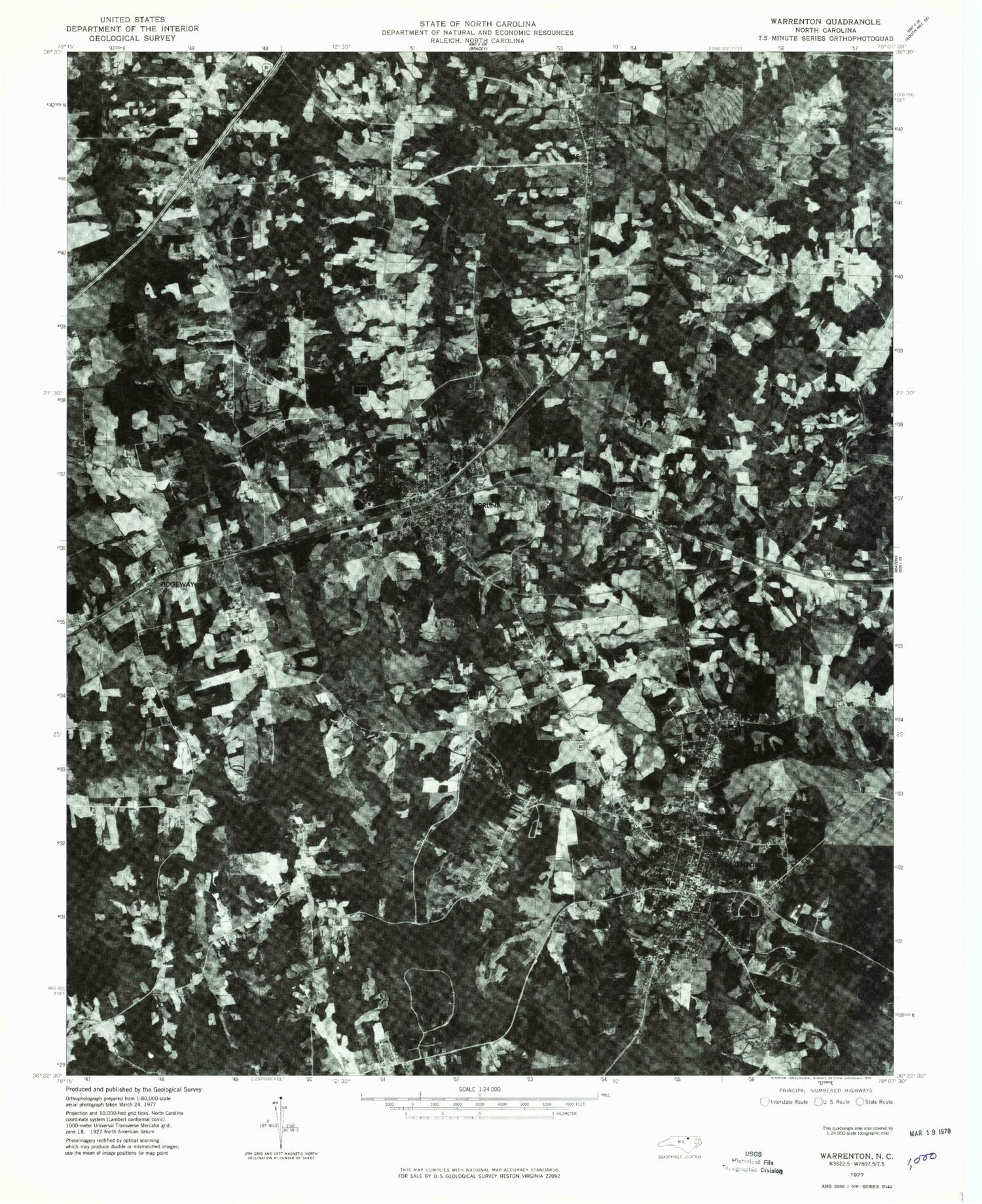
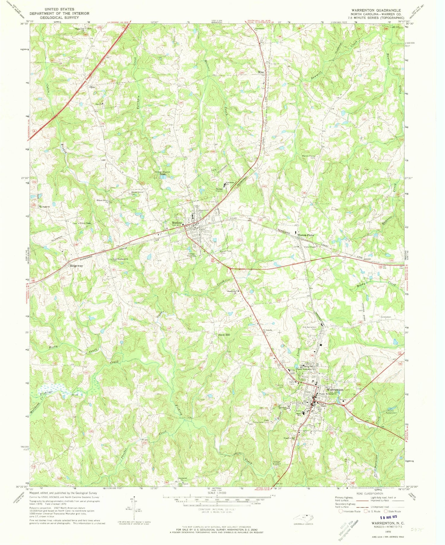
Classic USGS Warrenton North Carolina 7.5'x7.5' Topo Map
Couldn't load pickup availability
Historical USGS topographic quad map of Warrenton in the state of North Carolina. Map scale may vary for some years, but is generally around 1:24,000. Print size is approximately 24" x 27"
This quadrangle is in the following counties: Warren.
The map contains contour lines, roads, rivers, towns, and lakes. Printed on high-quality waterproof paper with UV fade-resistant inks, and shipped rolled.
Contains the following named places: Boyd School, Camp Katzenstein, Chapel Hill Church, Coffmans Lake, Coffmans Lake Dam, Cooks Chapel, Fairview Cemetery, Good Shepherd Church, Hawkins School, Hawtree Volunteer Fire Department, Hicks Pond, Horse Creek, Kingdom Hall Church, Matthews Creek, Norlina, Norlina Middle School, Norlina Police Department, Norlina Post Office, Norlina Volunteer Fire Department, North Warrenton Church, Northside School, Oak Chapel, Oine, Old Warrenton Cemetery, Owens Creek, Phoebes Creek, Poplar Mount, Providence Church, Ridgeway, Ridgeway Post Office, Ridgeway Volunteer Rural Fire Station, Rocky Creek, Rose Cemetery, Saint Josephs Church, Saint Pauls Church, Sawmill Creek, Snow Hill, Town of Norlina, Town of Warrenton, Township of Hawtree, Township of Smith Creek, Township of Warrenton, Union Chapel, WARR-AM (Warrenton), Warren County Airport, Warren County Emergency Medical Services, Warren County High School, Warren County Sheriff's Office, Warren Dale Cemetery, Warren Plains, Warren Plains Cemetery, Warrenton, Warrenton Church, Warrenton Police Department, Warrenton Post Office, Warrenton Rural Volunteer Fire Department, Wesley Memorial Church, Whites Grove Cemetery, Whites Grove Church, Wise, Wise Post Office, Zion Church, ZIP Code: 27563


