MyTopo
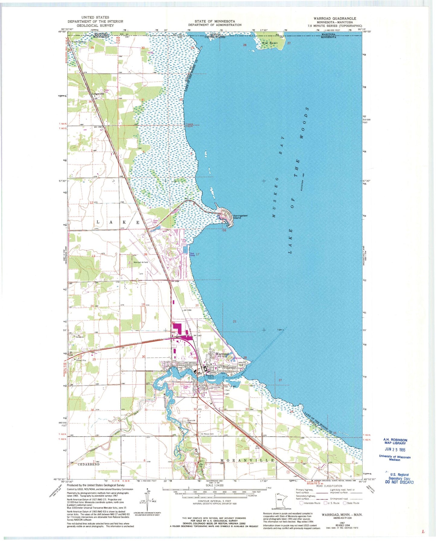
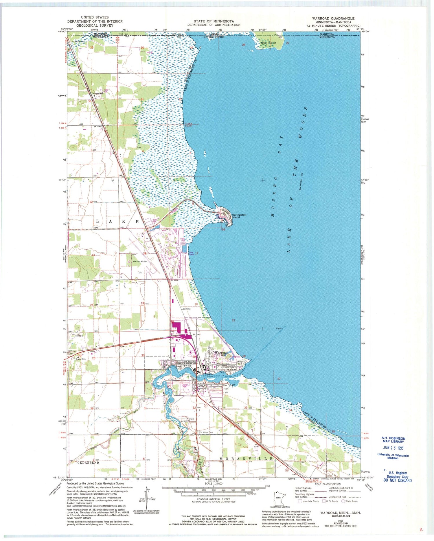
Classic USGS Warroad Minnesota 7.5'x7.5' Topo Map
Couldn't load pickup availability
Historical USGS topographic quad map of Warroad in the state of Minnesota. Map scale may vary for some years, but is generally around 1:24,000. Print size is approximately 24" x 27"
This quadrangle is in the following counties: Lake of the Woods, Roseau.
The map contains contour lines, roads, rivers, towns, and lakes. Printed on high-quality waterproof paper with UV fade-resistant inks, and shipped rolled.
Contains the following named places: Altru Clinic, Bethlehem Evangelical Lutheran Church, City of Warroad, Countryside Trailer Park, East Branch Warroad River, Elm Point, Fort Saint Charles Historical Marker, Give Glory to God Church, Lakeview Park, Lakewood Trailer Park, Liberty Trailer Park, Longworth, Minnesota Department of Natural Resources Forestry Division Warroad Area Office, North Star Court, Riverside Cemetery, Saint Mary's Catholic Church, Saint Marys Cemetery, Saint Peters Episcopal Church, Seventh Day Adventist Church, Springsteel Island, Springsteel Resort, Union Congregational Church, Warroad, Warroad Baptist Church, Warroad Care Center, Warroad City Campground, Warroad City Hall, Warroad City Library, Warroad City Park, Warroad Elementary School, Warroad Estates Golf Course, Warroad Estates RV Park, Warroad Fire Department, Warroad Free Lutheran Church, Warroad Fur Post Historical Marker, Warroad Heritage Center and Museum, Warroad High School, Warroad Historical Marker, Warroad International Memorial Airport, Warroad Police Department, Warroad Post Office, Warroad River, Warroad Station, West Branch Warroad River, Woodland Bible Church, Zion Lutheran Church


