MyTopo
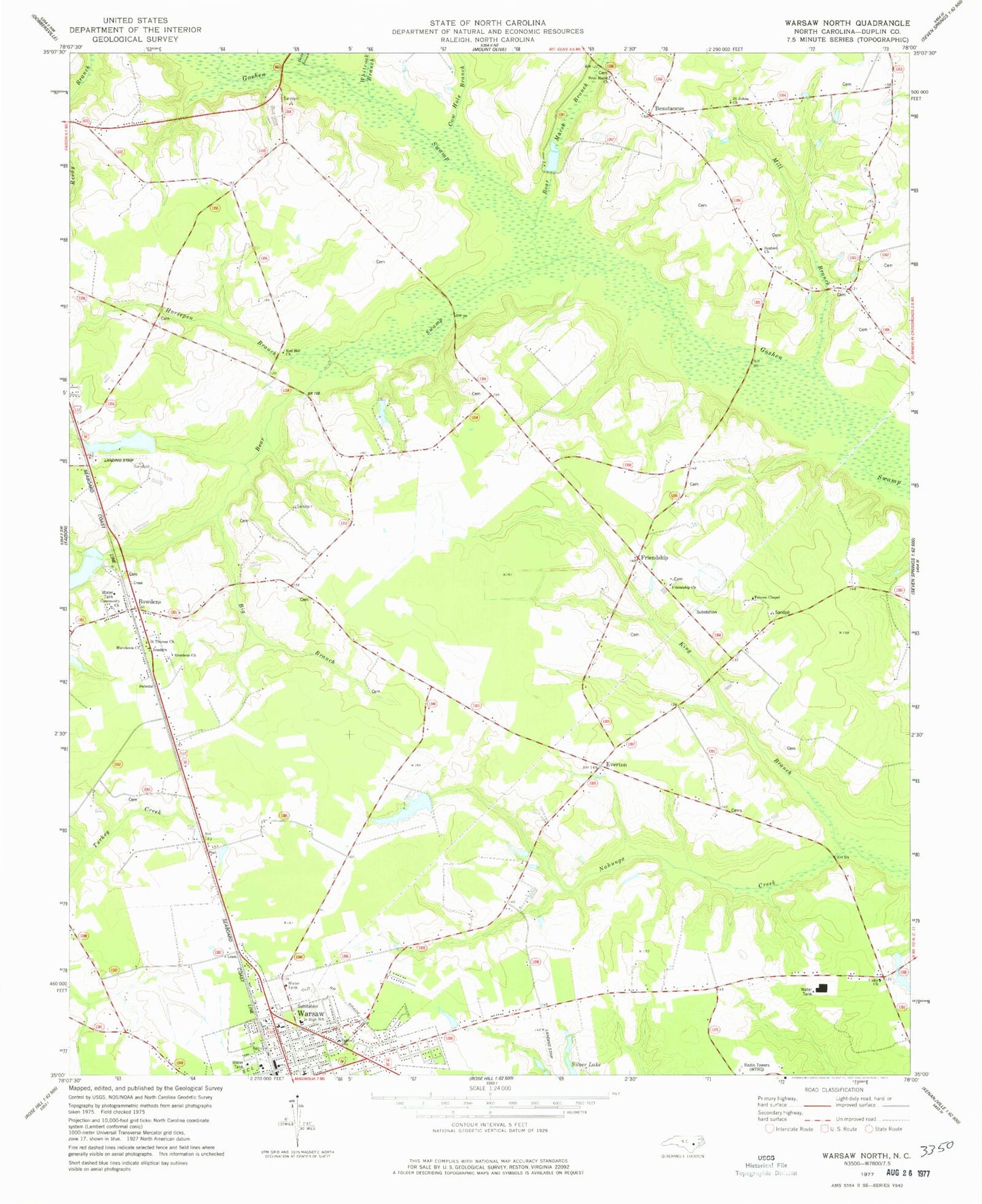
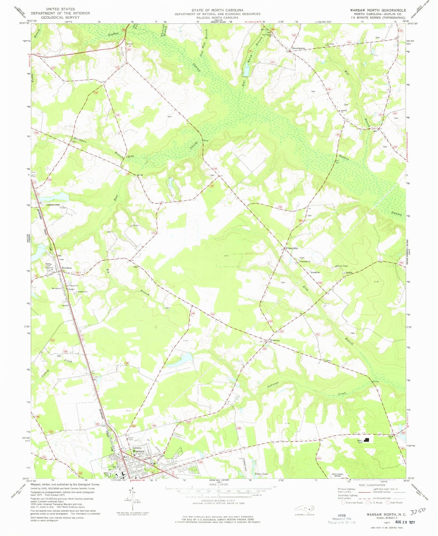
Classic USGS Warsaw North North Carolina 7.5'x7.5' Topo Map
Couldn't load pickup availability
Historical USGS topographic quad map of Warsaw North in the state of North Carolina. Typical map scale is 1:24,000, but may vary for certain years, if available. Print size: 24" x 27"
This quadrangle is in the following counties: Duplin.
The map contains contour lines, roads, rivers, towns, and lakes. Printed on high-quality waterproof paper with UV fade-resistant inks, and shipped rolled.
Contains the following named places: Bear Marsh Branch, Bear Marsh Church, Bear Swamp, Big Branch, Bowdens, Bowdens Church, Calvary Church, Cow Hole Branch, Dicks Branch, Everton, Faisons Chapel, Friendship Church, Horsepen Branch, King Branch, Macedonia Church, Mill Branch, Red Hill Church, Reedy Branch, Saint Johns Church, Saint Thomas Church, Whiteoak Branch, Taylor Airport (historical), Larry McCullen Pond, Larry McCullen Pond Dam, Bowden Millpond Dam, Bowden Millpond, Warsaw Junior High School (historical), Friendship, Dolph Post Office (historical), Bear Swamp Post Office (historical), Sanford Church, Beautancus, Unity Methodist Church, WTRQ-AM (Warsaw), Township of Faison, Warsaw Post Office, Bowdens Census Designated Place


