MyTopo
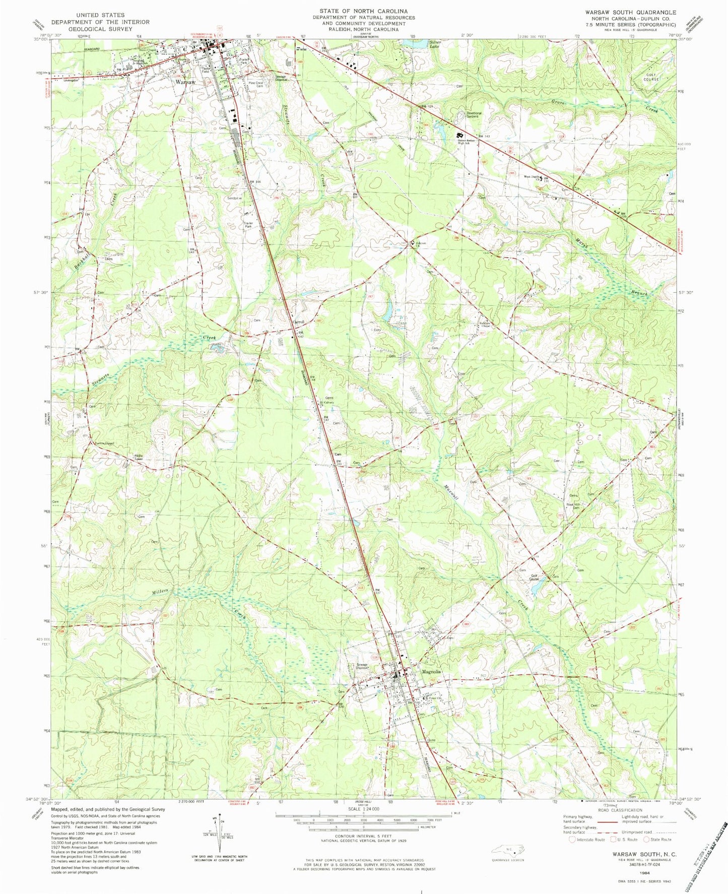
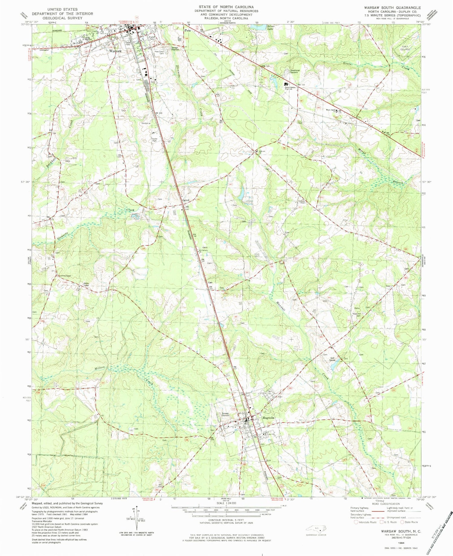
Classic USGS Warsaw South North Carolina 7.5'x7.5' Topo Map
Couldn't load pickup availability
Historical USGS topographic quad map of Warsaw South in the state of North Carolina. Map scale may vary for some years, but is generally around 1:24,000. Print size is approximately 24" x 27"
This quadrangle is in the following counties: Duplin.
The map contains contour lines, roads, rivers, towns, and lakes. Printed on high-quality waterproof paper with UV fade-resistant inks, and shipped rolled.
Contains the following named places: Beasleys Millpond, Carlton Methodist Chapel, Carroll, Carroll Street Pentecostal Free Will Baptist Church, Devotional Gardens Cemetery, Douglass Junior High School, Duplin County Emergency Medical Services Medic 1, Hines Chapel, James Kenan High School, Johnson Church, Magnolia, Magnolia Police Department, Magnolia Post Office, Magnolia Volunteer Fire Department, Magnolia Wastewater Treatment Plant, Mount Calvary Church, Pine Crest Cemetery, Rainbow Chapel, Rose Hill Funeral Home Cemetery, Saint Peter Church, Saint Stephens Church, Silver Lake, Taylor Field, Town of Magnolia, Town of Warsaw, Township of Magnolia, Township of Warsaw, Warsaw, Warsaw Elementary School, Warsaw Fire Department, Warsaw Police Department, Warsaw Wastewater Treatment Plant, West Duplin Church, Williams School, ZIP Codes: 28398, 28453


