MyTopo
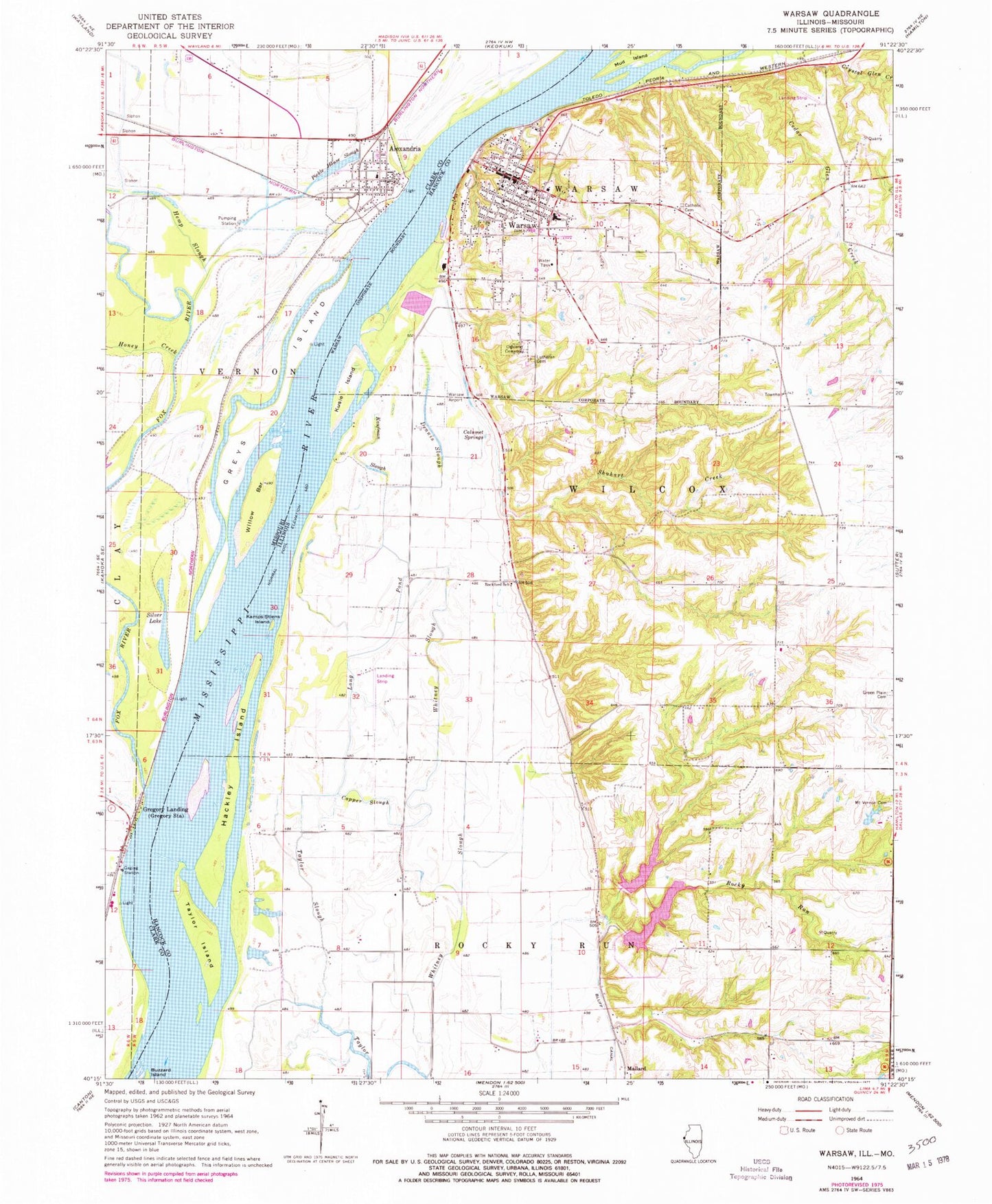
Classic USGS Warsaw Illinois 7.5'x7.5' Topo Map
Couldn't load pickup availability
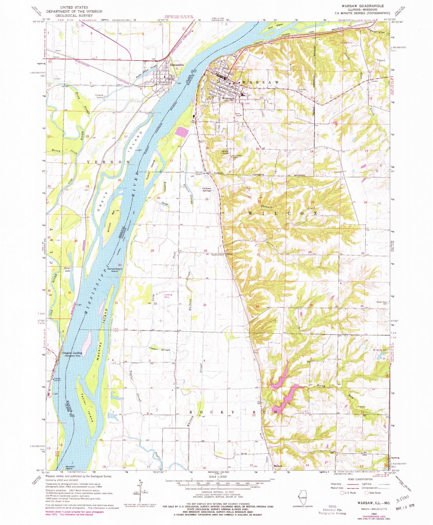
Historical USGS topographic quad map of Warsaw in the states of Illinois, Missouri. Map scale may vary for some years, but is generally around 1:24,000. Print size is approximately 24" x 27"
This quadrangle is in the following counties: Clark, Hancock.
The map contains contour lines, roads, rivers, towns, and lakes. Printed on high-quality waterproof paper with UV fade-resistant inks, and shipped rolled.
Contains the following named places: Alexandria, Alexandria Fire Protection District, Alexandria Post Office, Calumet Springs, Cedar Glen Nature Preserve, City of Alexandria, City of Warsaw, Copper Slough, Dennis Slough, Fox Island, Fox River, Green Plain School, Green Plains Cemetery, Gregory Landing, Greys Island, H Meeker Airport, Hackley Chute, Hackley Island, Hancock County Ambulance Service, Hemp Slough, Honey Creek, Jan Knipe Airport, Kamps-Stiens Island, Kaufman Slough, Kusie Island, Limkemann Pond, Limkemann Pond Dam, Lingle School, Little Rocky Run Lake, Little Rocky Run Lake Dam, Long Pond, Lutheran Cemetery, Mallard, Mississippi River Sand Hills Nature Preserve, Mount Vernon Missionary Baptist Cemetery, Mud Slough, Oakland Cemetery, Pickle House Slough, Rockford School, Rocky Run, Rocky Run Lake, Rocky Run Lake Dam, Rocky Run School, Sacred Heart Cemetery, Shuhart Creek, Silver Lake, Taylor Island, Taylor Slough, Township of Rocky Run-Wilcox, Township of Vernon, Township of Warsaw, Township of Wilcox, Warsaw, Warsaw Airport, Warsaw Historic District, Warsaw Police Department, Warsaw Post Office, Warsaw Rural Fire Protection District, White Brick School, White Prairie School, Whitney Slough, Wilcox Townhall, Willow Bar, ZIP Code: 62379


