MyTopo
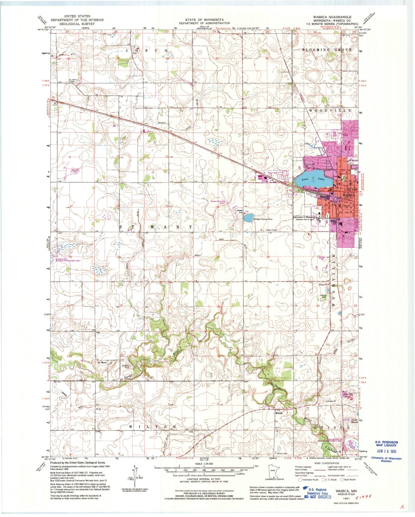
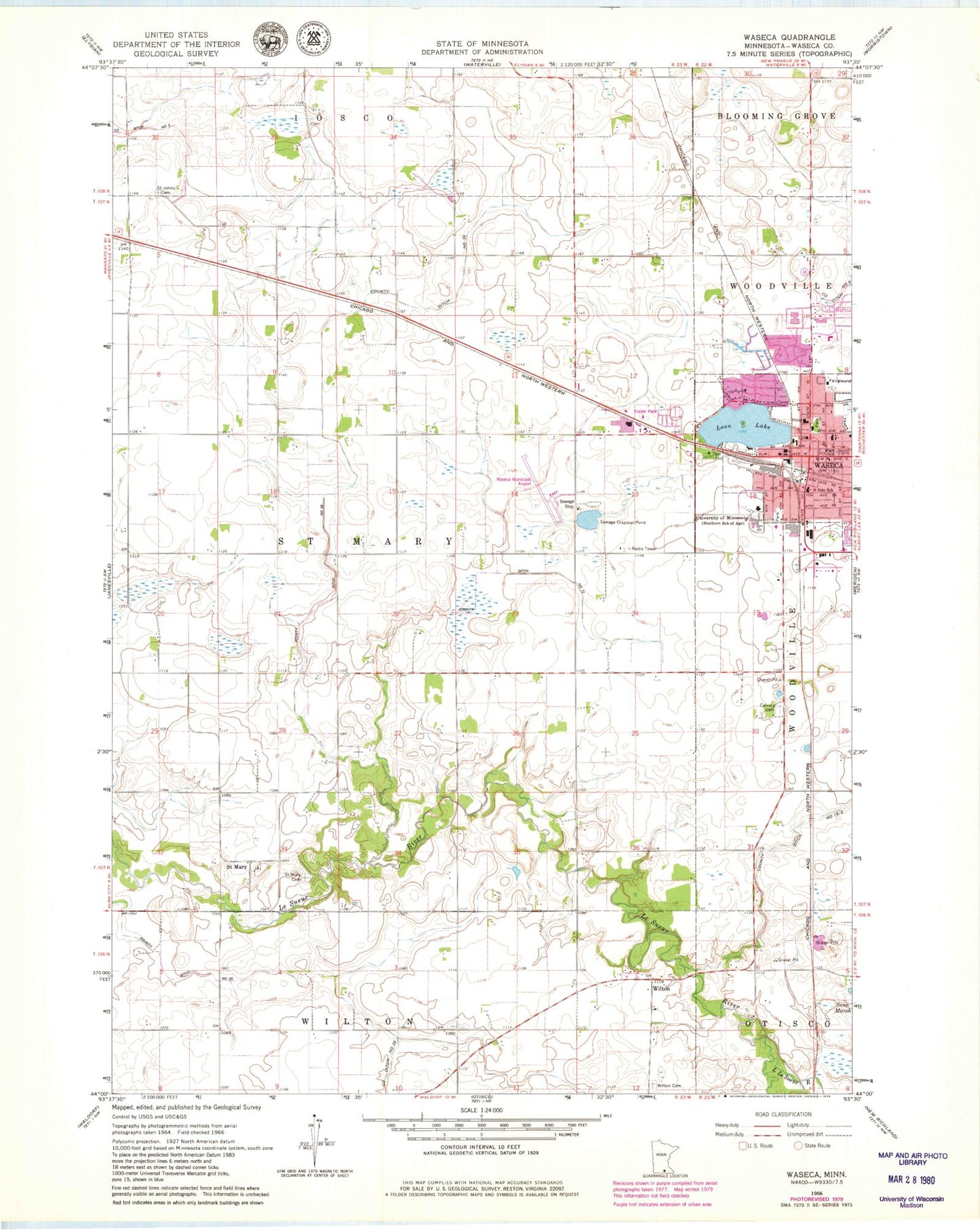
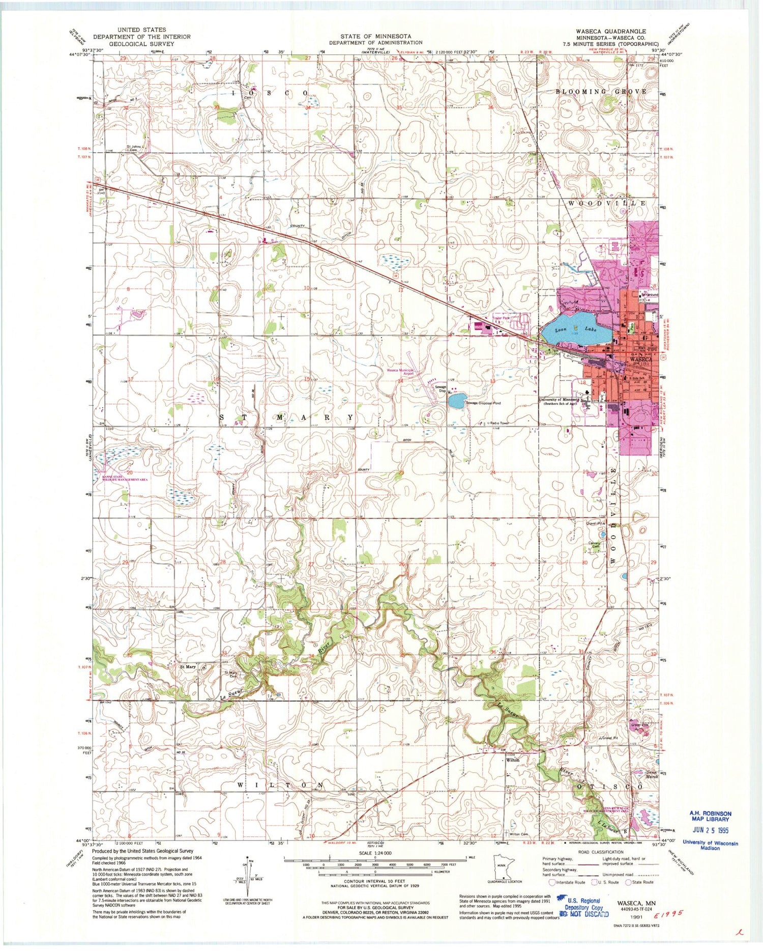
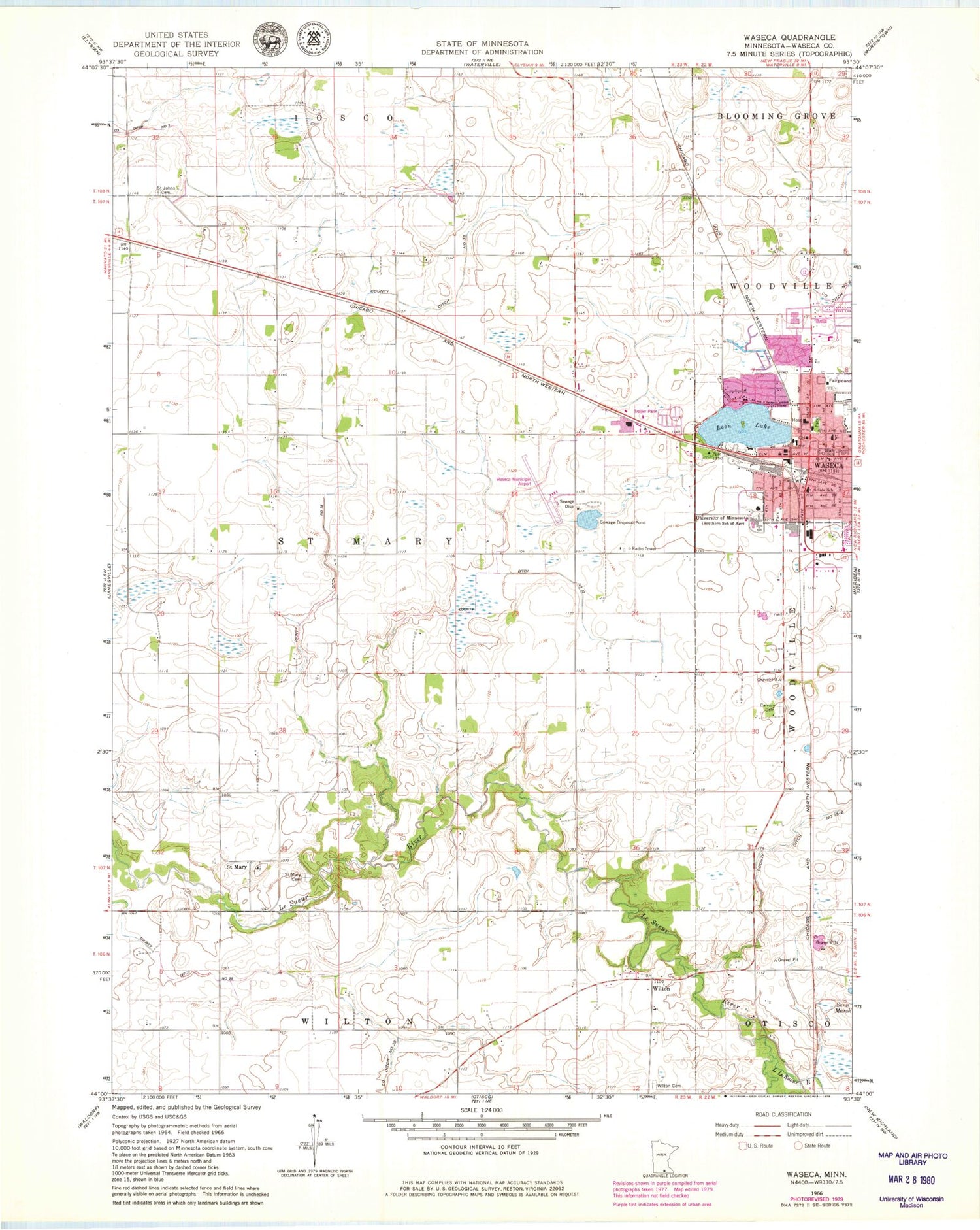
Classic USGS Waseca Minnesota 7.5'x7.5' Topo Map
Couldn't load pickup availability
Historical USGS topographic quad map of Waseca in the state of Minnesota. Map scale may vary for some years, but is generally around 1:24,000. Print size is approximately 24" x 27"
This quadrangle is in the following counties: Waseca.
The map contains contour lines, roads, rivers, towns, and lakes. Printed on high-quality waterproof paper with UV fade-resistant inks, and shipped rolled.
Contains the following named places: Abundant Life Tabernacle Church, Calvary Cemetery, City of Waseca, Colony Court, County Ditch Number Fifteen-two, County Ditch Number Thirtyeight, County Ditch Number Thirtyfive, County Ditch Number Twelve, Evangelical Free Church, Evangelical United Methodist Church, Faith Baptist Church, Federal Correctional Institution Waseca, First Congregational Church, Grace Lutheran Church, Kanne State Wildlife Management Area, Krassin Cemetery, Lake Shore Inn Nursing Home, Little Le Sueur River, Loon Lake, Loon Lake Park, Mayo Clinic Health System Waseca, Minske Cemetery, North Memorial Ambulance Waseca, Northridge Plaza, Northwest Park, Orthopedic Surgical Consultants Center, Sacred Heart Church, Sacred Heart School, Saint John Lutheran Church, Saint Johns Cemetery, Saint Mary, Saint Mary Cemetery, Saint Marys Post Office, Saint Paul Lutheran Church, Senn Marsh, Senn-Rich State Wildlife management Area, South Side School, Township of Saint Mary, Trinity Lutheran Church, Trowbridge Park, University of Minnesota, University Park, Waseca, Waseca Area Learning Center, Waseca Christian Assembly of God Church, Waseca City Hall, Waseca County, Waseca County Courthouse, Waseca County Fairgrounds, Waseca County Historical Society Museum, Waseca County Jail, Waseca County Sheriff's Office, Waseca Fire Department, Waseca High School, Waseca Junior High School, Waseca La Sueur Library, Waseca Municipal Airport, Waseca Police Department, Waseca Post Office, Wilton, Wilton Cemetery, Wilton Post Office, ZIP Code: 56093


