
MyTopo
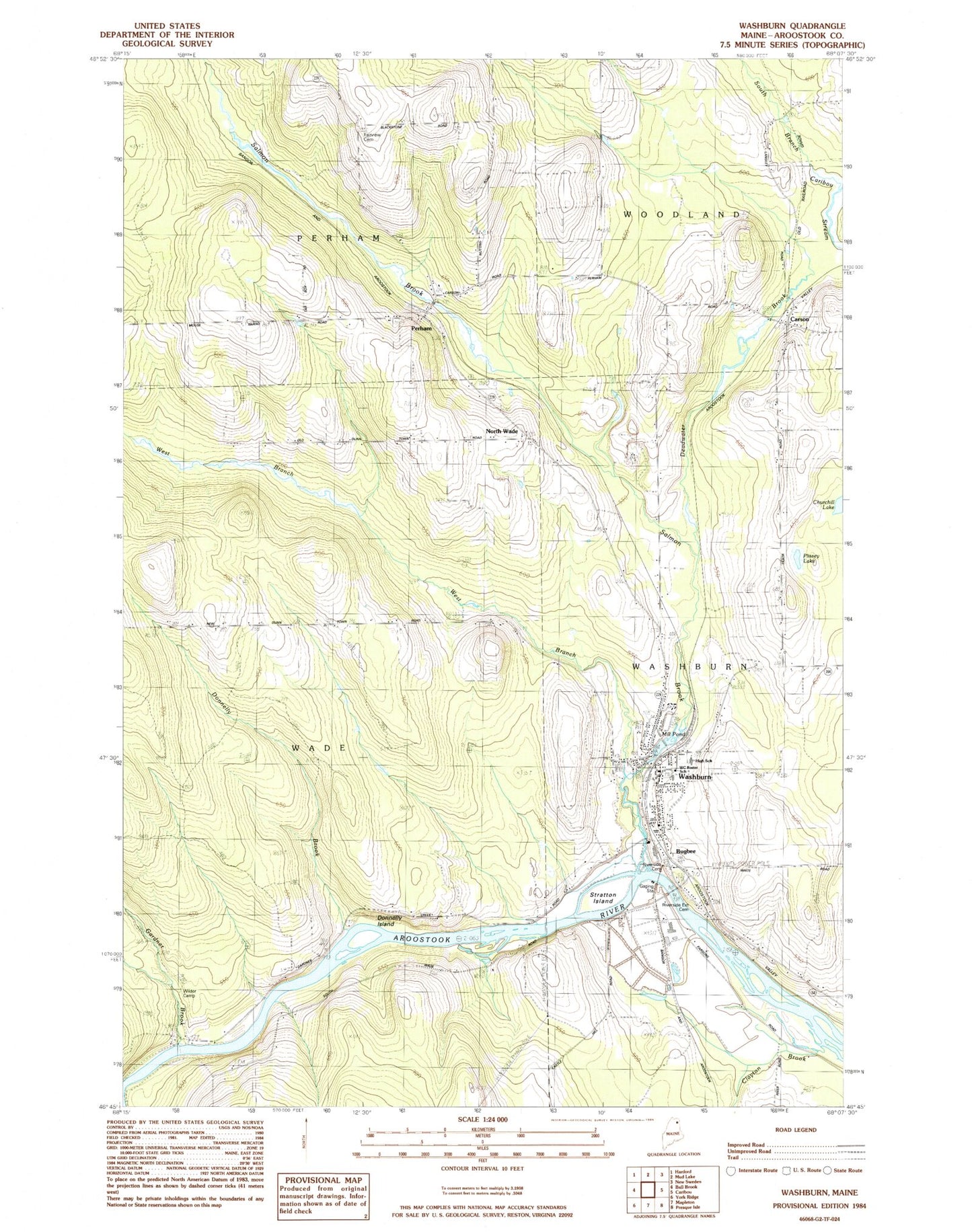
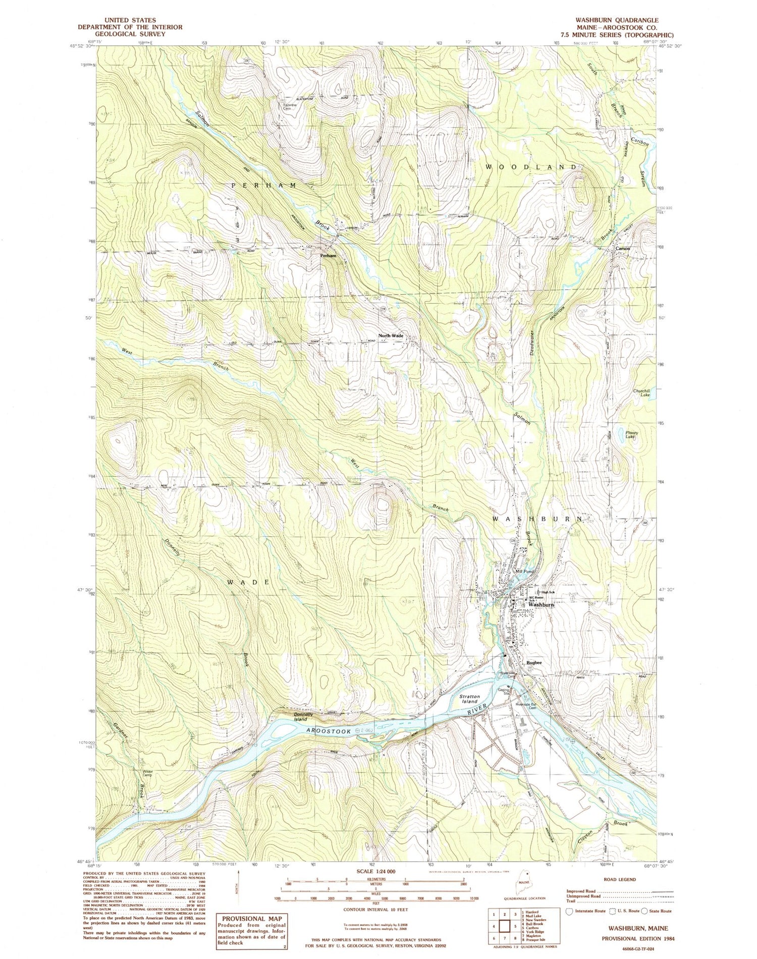
Classic USGS Washburn Maine 7.5'x7.5' Topo Map
Couldn't load pickup availability
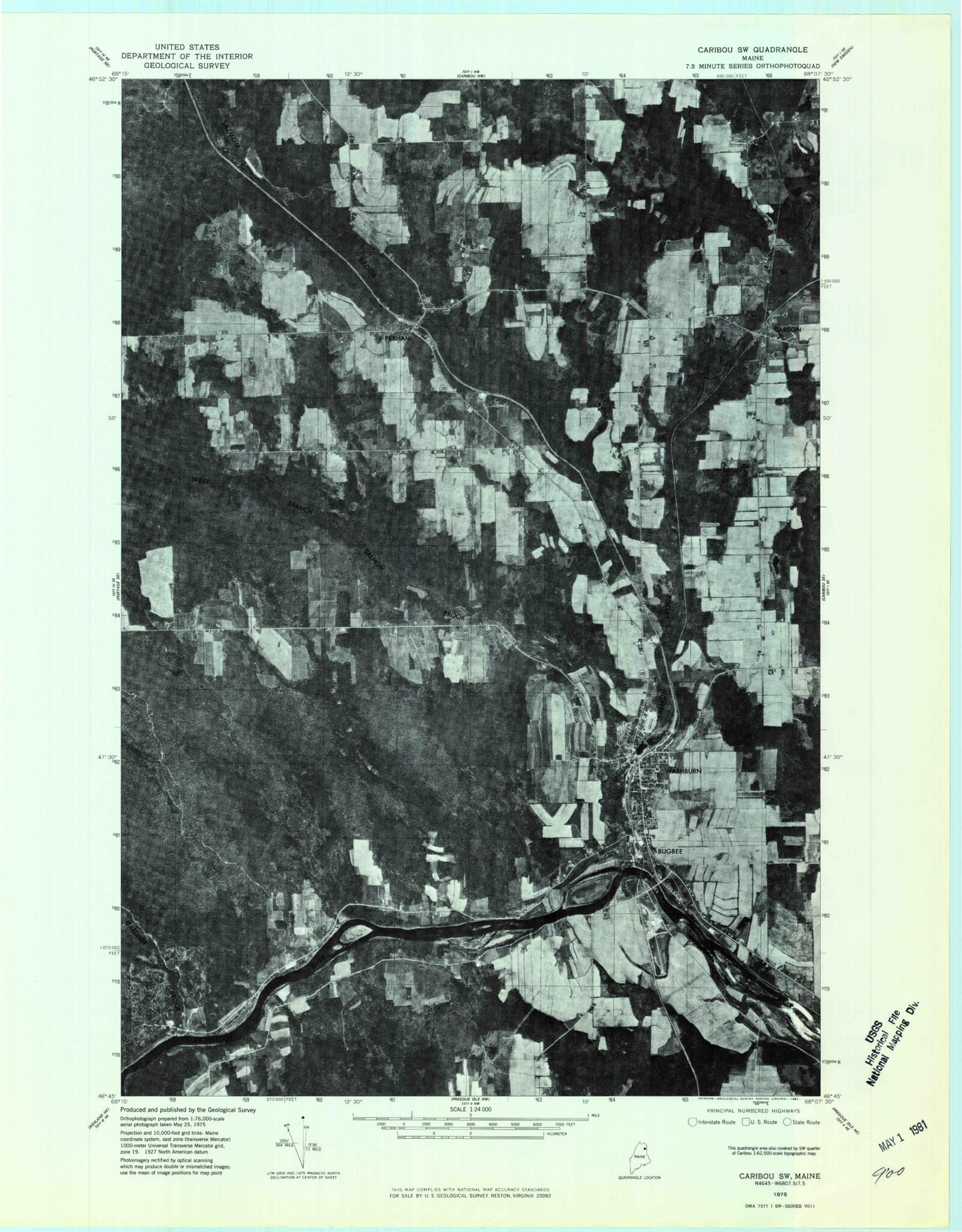
Historical USGS topographic quad map of Washburn in the state of Maine. Map scale may vary for some years, but is generally around 1:24,000. Print size is approximately 24" x 27"
This quadrangle is in the following counties: Aroostook.
The map contains contour lines, roads, rivers, towns, and lakes. Printed on high-quality waterproof paper with UV fade-resistant inks, and shipped rolled.
Contains the following named places: Bugbee, Carson, David J Lyon Washburn District Elementary School, Deadwater Brook, Donnelly Brook, Donnelly Brook School, Donnelly Island, Fairview Cemetery, Gardner Brook, Holmes Cemetery, Mill Pond, North Wade, Perham, Perham First Baptist Church, Perham Post Office, Plissey Lake, Randell Cemetery, Riverside Cemetery, Riverside Extension Cemetery, Salmon Brook, Stratton Island, Town of Wade, Washburn, Washburn Census Designated Place, Washburn Community Pond, Washburn Dam, Washburn District High School, Washburn Fire Department, Washburn Memorial Library, Washburn Police Department, Washburn Post Office, West Branch Salmon Brook, Wilder Camp, ZIP Code: 04786