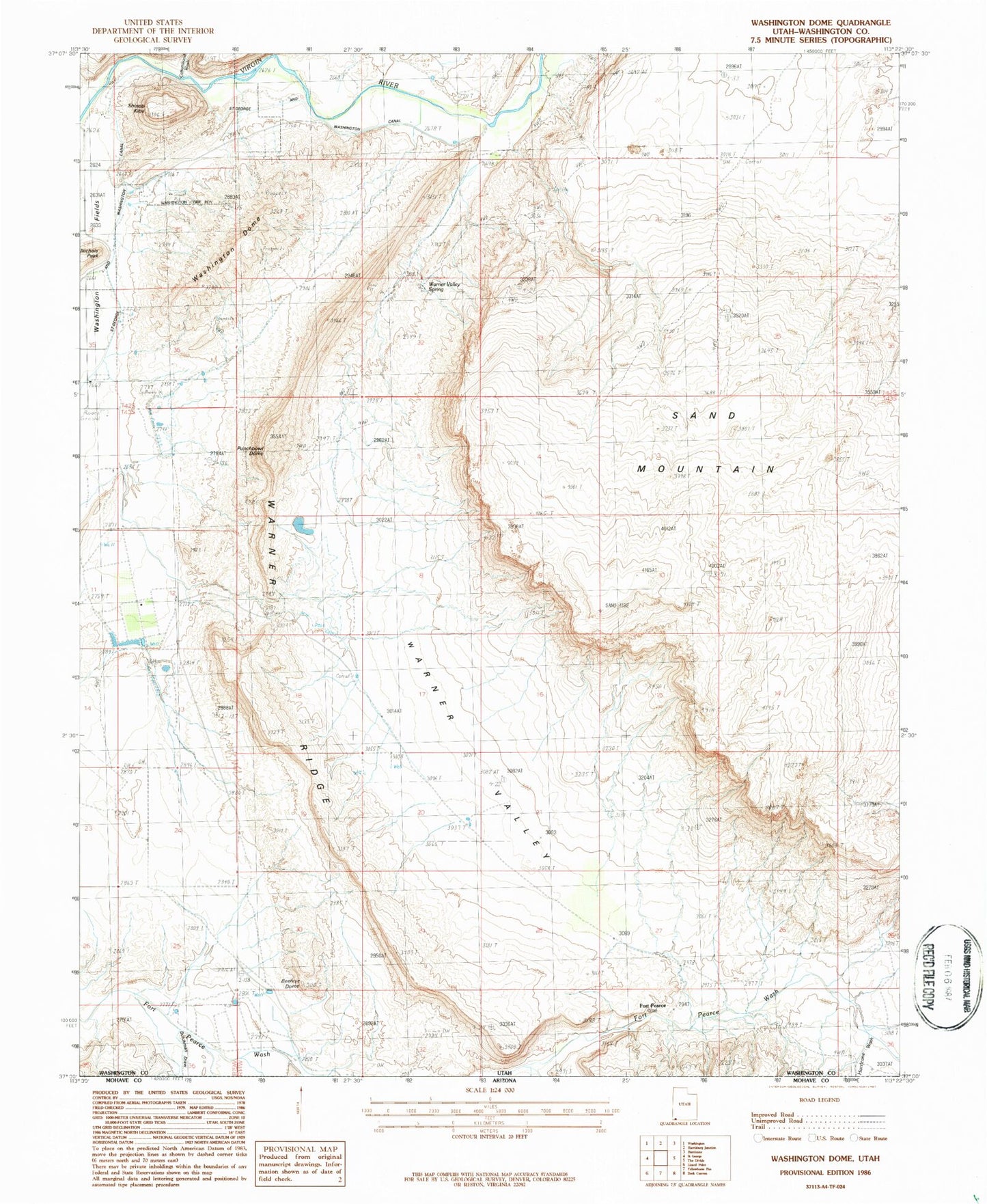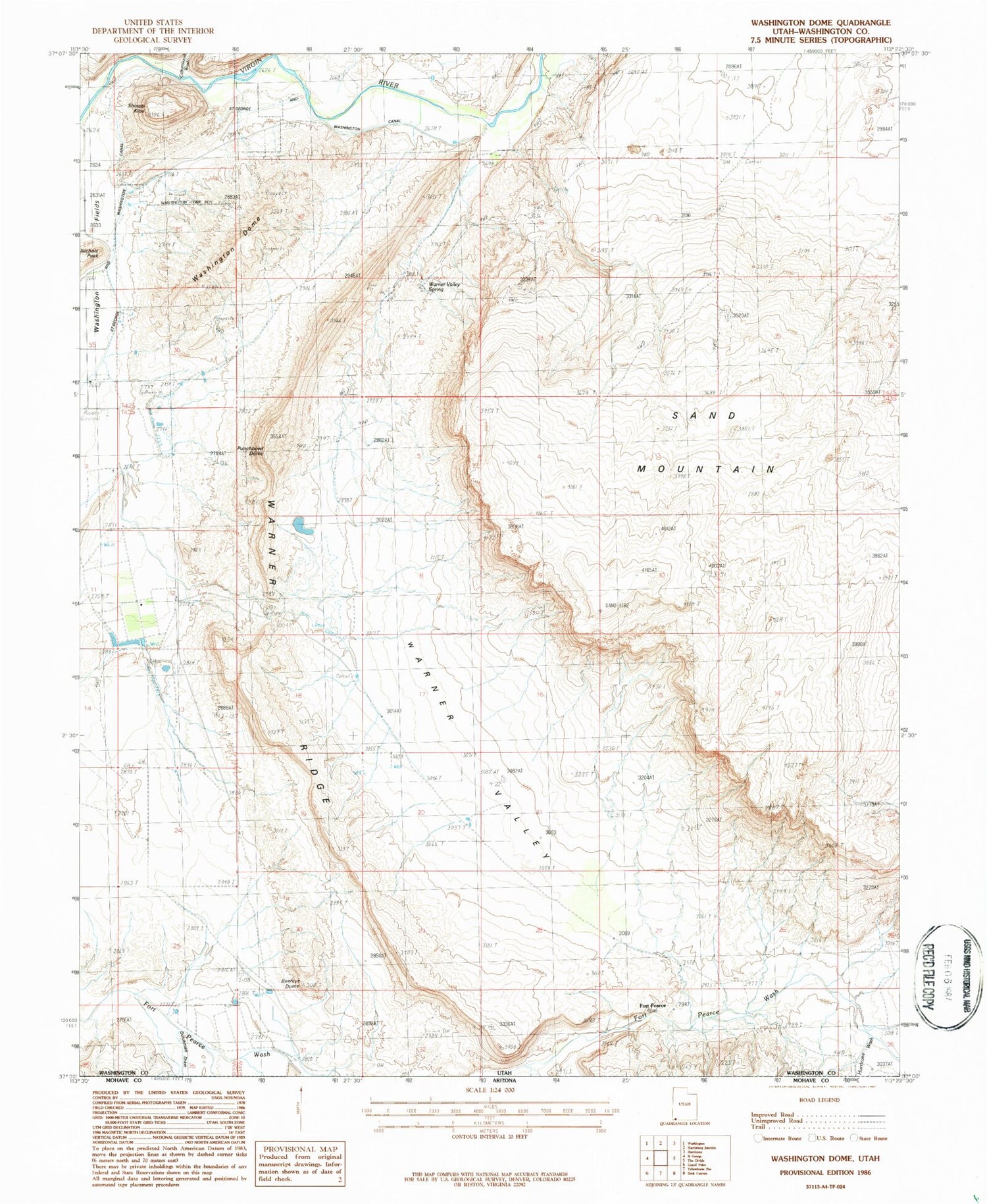
MyTopo
Classic USGS Washington Dome Utah 7.5'x7.5' Topo Map
Couldn't load pickup availability
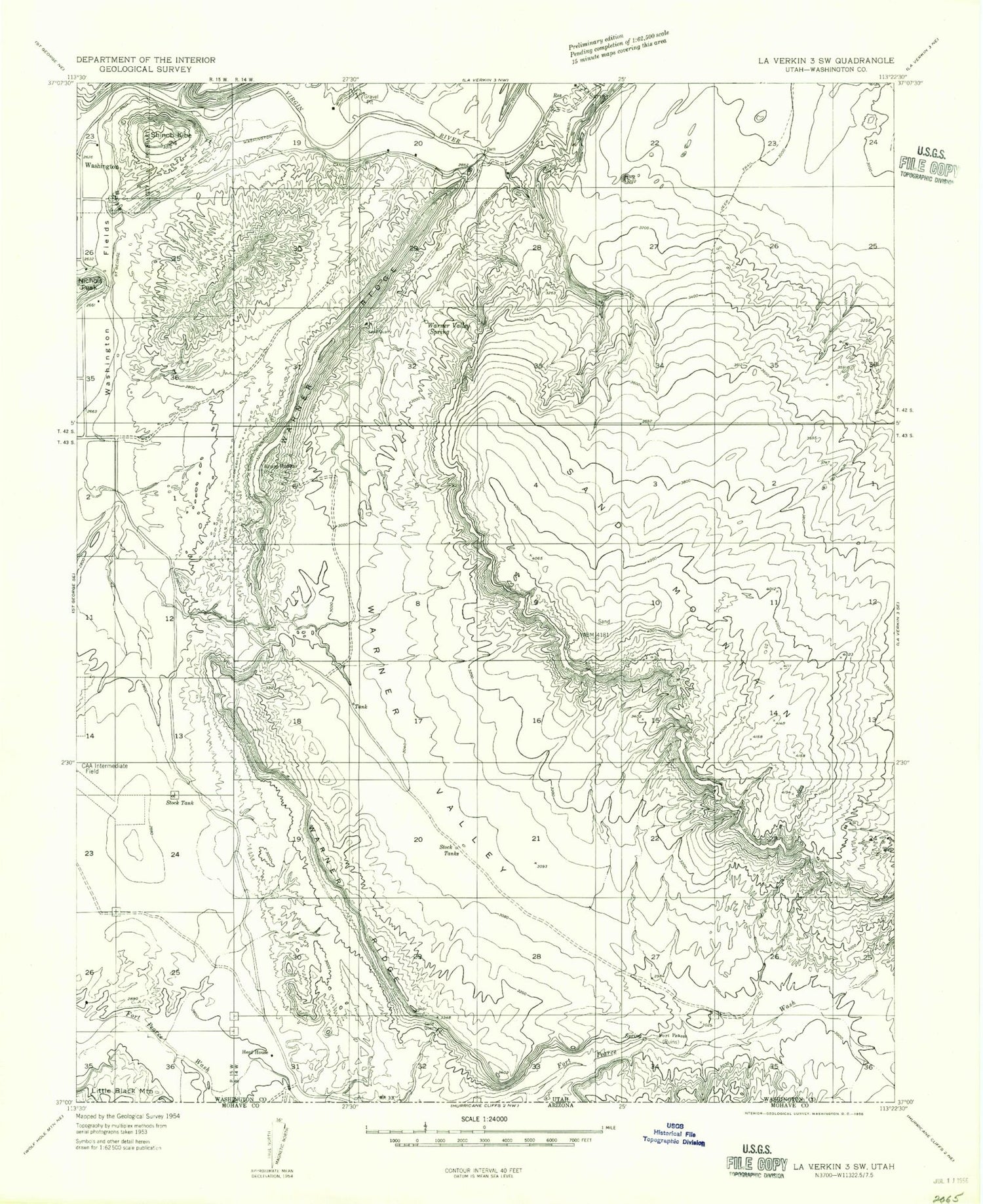
Historical USGS topographic quad map of Washington Dome in the state of Utah. Map scale may vary for some years, but is generally around 1:24,000. Print size is approximately 24" x 27"
This quadrangle is in the following counties: Washington.
The map contains contour lines, roads, rivers, towns, and lakes. Printed on high-quality waterproof paper with UV fade-resistant inks, and shipped rolled.
Contains the following named places: Beehive Dome, Dutchman Draw, Grapevine Pass Wash, Gypsum Wash Debris Basin Dam, Gypsum Wash Debris Basin Reservoir, Herd House, Hurricane Wash, Little Black Mountain, Punchbowl Dome, Saint George and Washington Canal, Sand Mountain, Shinob Kibe, Stucki Debris Basin Dam, Stucki Debris Basin Reservoir, Warner Draw Debris Basin Dam, Warner Draw Debris Basin Reservoir, Warner Ridge, Warner Valley, Warner Valley Spring, Washington City Fire Department - Station 62, Washington Dome