MyTopo
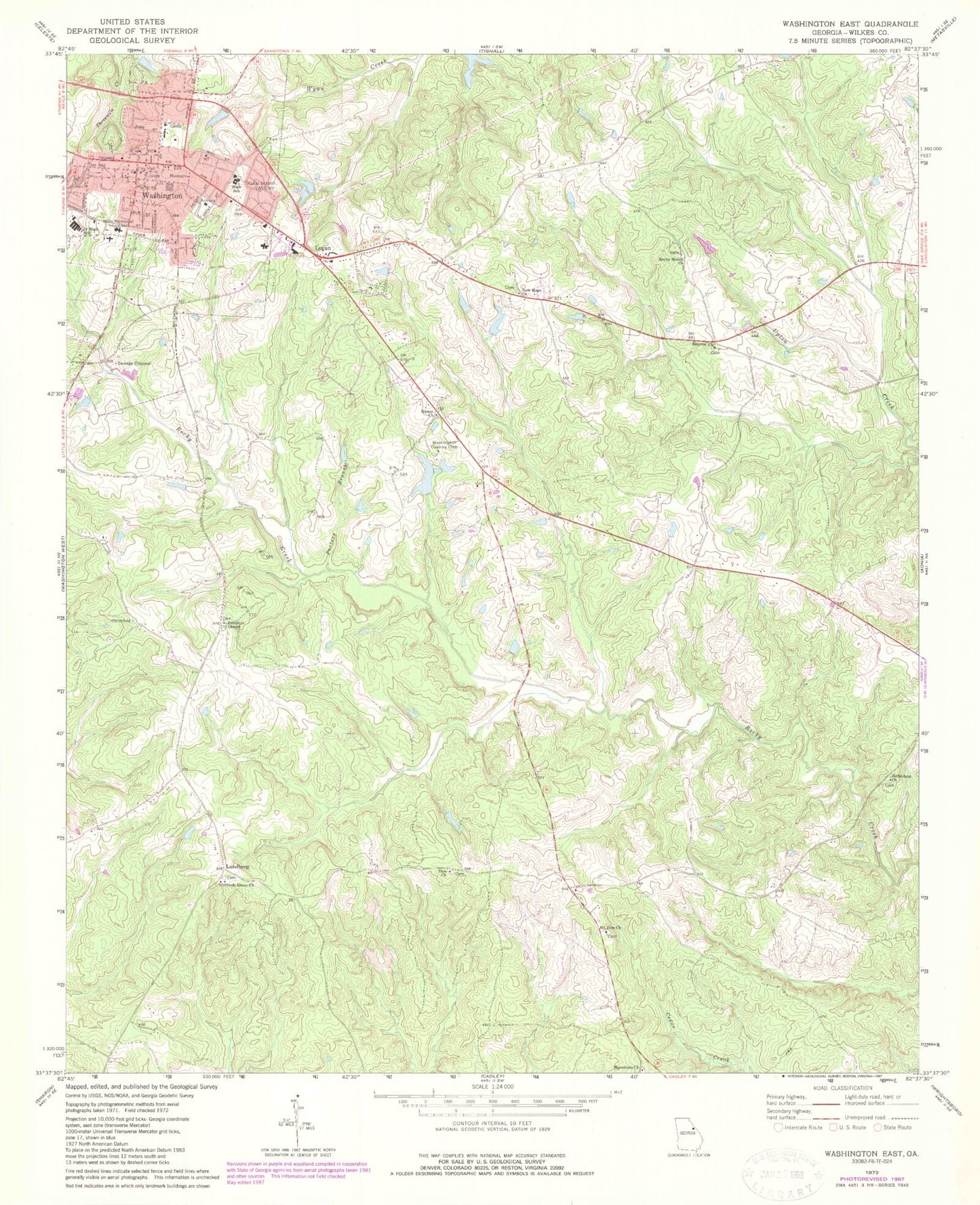
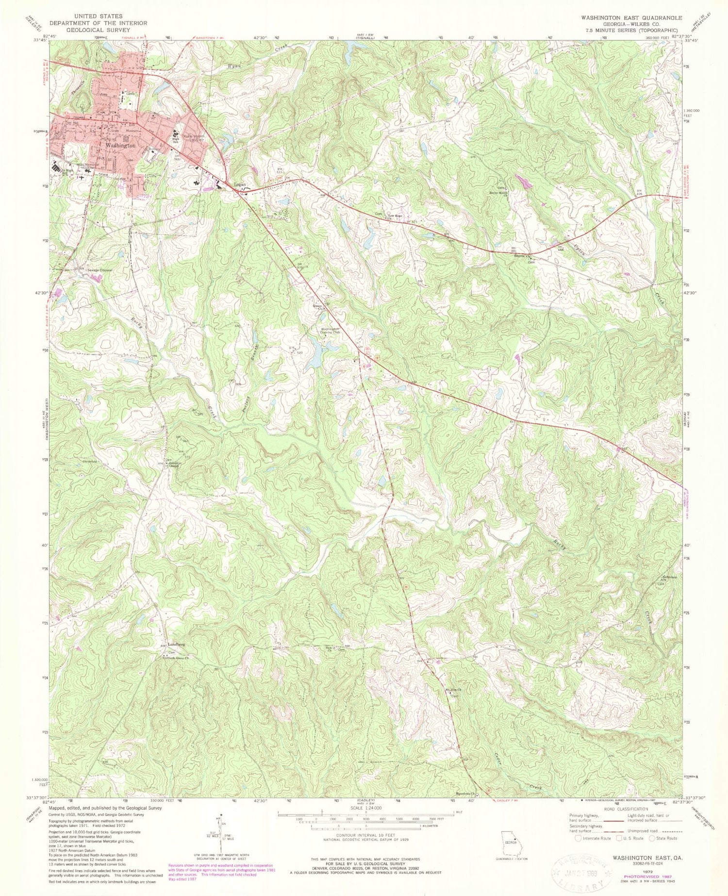
Classic USGS Washington East Georgia 7.5'x7.5' Topo Map
Couldn't load pickup availability
Historical USGS topographic quad map of Washington East in the state of Georgia. Map scale may vary for some years, but is generally around 1:24,000. Print size is approximately 24" x 27"
This quadrangle is in the following counties: Wilkes.
The map contains contour lines, roads, rivers, towns, and lakes. Printed on high-quality waterproof paper with UV fade-resistant inks, and shipped rolled.
Contains the following named places: Anne Heights, Bethlehem Church, Bi-Lo Plaza Shopping Center, Booth Lake, Booth Lake Dam, City of Washington, Cliffords Grove Cemetery, Cliffords Grove Church, First Baptist Church, First United Methodist Church, Gipson Church, Logan, Lundberg, Macedonia Church, Mary Willis Library, Mount Carmel Baptist Church, Mount Zion Cemetery, Mount Zion Church, New Hope Church, Norman Lake, Pompeye Chapel, Porters, Porters Branch, Ravenwood Park, Robert Toombs House, Rocky Creek Fire Department, Rocky Mount Academy, Rocky Mount Church, Saint James Methodist Church, Serenity Behavioral Health Systems, Shillinglaw Lake, Shillinglaw Lake Dam, Smyrna Church, Symrna Cemetery, The Church of the Mediator, Tiger Stadium, Washington, Washington - Wilkes Elementary School, Washington - Wilkes High School, Washington - Wilkes Middle School, Washington - Wilkes Primary School, Washington Academy, Washington City Hall, Washington Country Club, Washington Country Club Lake, Washington Country Club Lake Dam, Washington Division, Washington Fire Department, Washington General Hospital, Washington Police Department, Washington Post Office, Washington Presbyterian Church, Washington Public School, Washington-Wilkes Historical Museum, Wilkes County Courthouse, Wilkes County Jail, Wilkes County Sheriff's Office, Wilkes Pre-Release Center, Wills Memorial Hospital, WLOV-AM (Washington), WLOV-FM (Washington), Zion Church, ZIP Code: 30673


