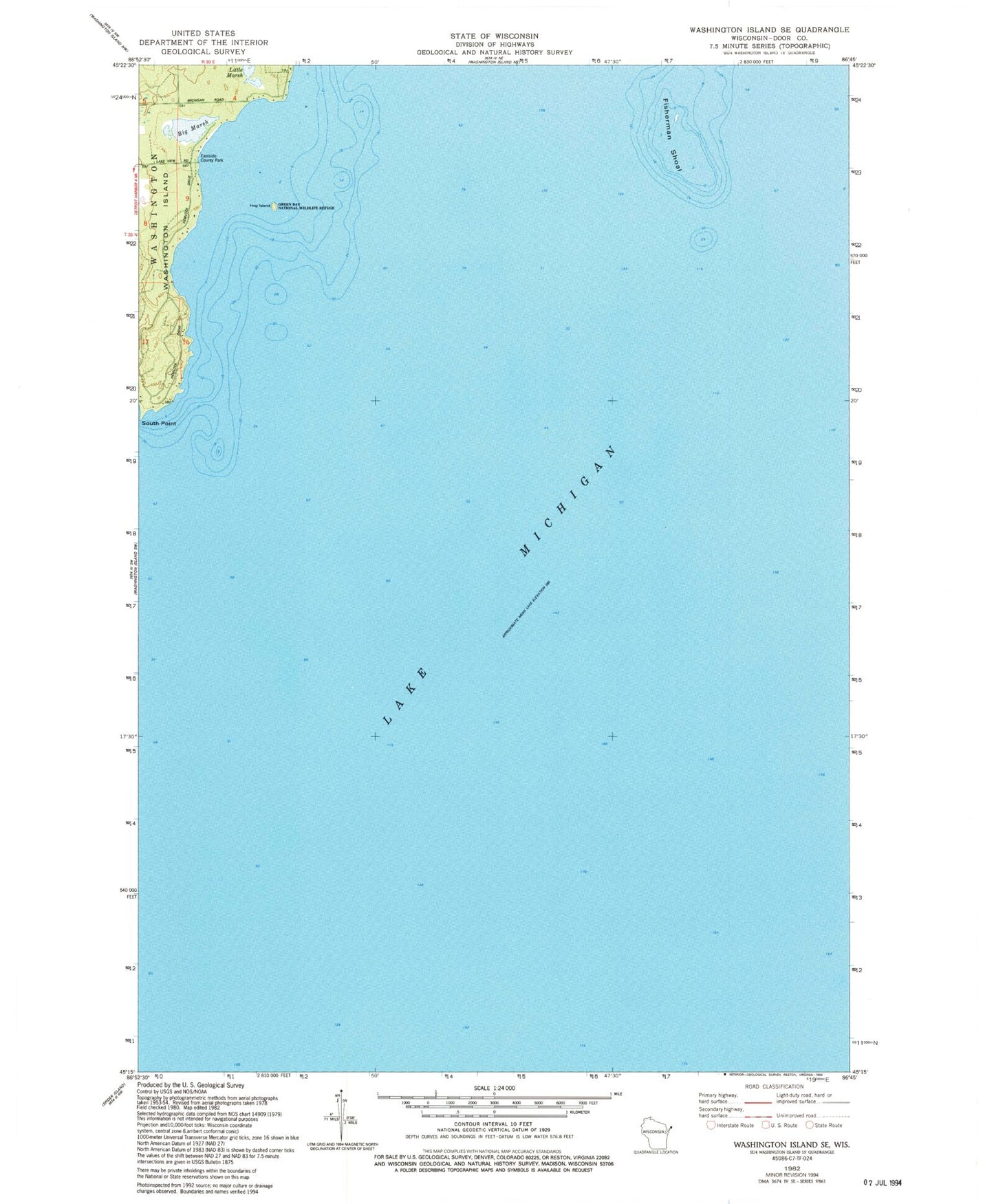
MyTopo
Classic USGS Washington Island SE Wisconsin 7.5'x7.5' Topo Map
Regular price
$16.95
Regular price
Sale price
$16.95
Unit price
per
Couldn't load pickup availability
Historical USGS topographic quad map of Washington Island SE in the state of Wisconsin. Map scale may vary for some years, but is generally around 1:24,000. Print size is approximately 24" x 27"
This quadrangle is in the following counties: Door.
The map contains contour lines, roads, rivers, towns, and lakes. Printed on high-quality waterproof paper with UV fade-resistant inks, and shipped rolled.
Contains the following named places: Big And Little Marsh State Natural Area, Big Marsh, Eastside County Park, Fisherman Shoal, Hog Island, Little Marsh, South Point, Town of Washington, Wisconsin Islands Wilderness (Green Bay Refuge)