MyTopo
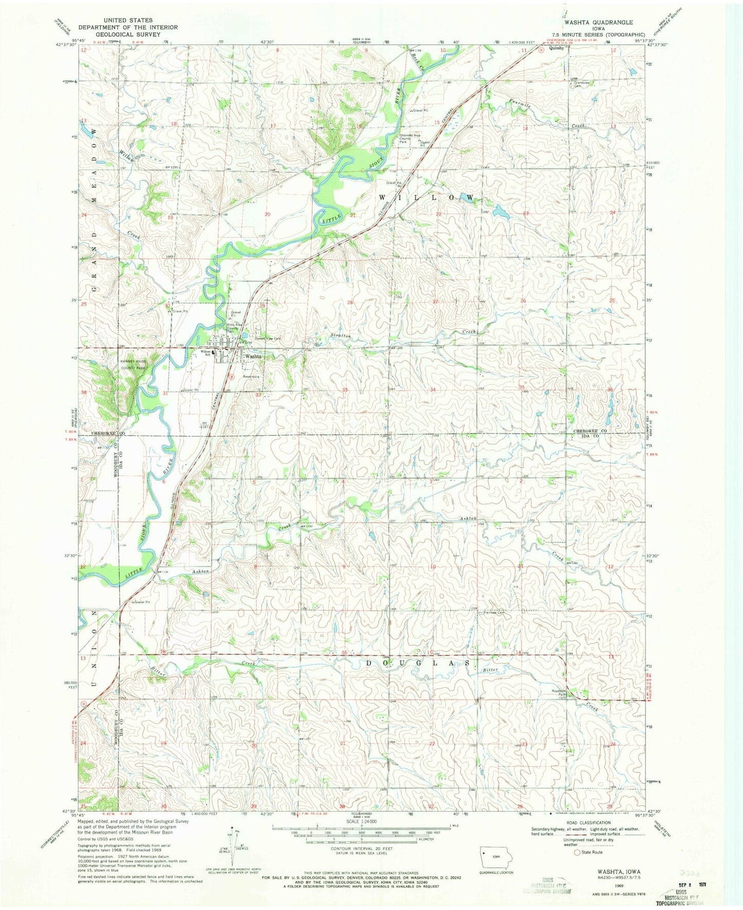
Classic USGS Washta Iowa 7.5'x7.5' Topo Map
Couldn't load pickup availability
Historical USGS topographic quad map of Washta in the state of Iowa. Map scale may vary for some years, but is generally around 1:24,000. Print size is approximately 24" x 27"
This quadrangle is in the following counties: Cherokee, Ida, Woodbury.
The map contains contour lines, roads, rivers, towns, and lakes. Printed on high-quality waterproof paper with UV fade-resistant inks, and shipped rolled.
Contains the following named places: Ashton Creek, Bitter Creek, City of Washta, D W D Farms, Douglas Township Cemetery Area, Fairview Cemetery, Freedom Farms, Grandview Cemetery, Johnson Hienel Access Area, Little Sioux Greenbelt, Ranney Knob County Park, Ritts Area County Park, River Valley Elementary School, Rock Creek, Stieneke Area County Park, Stratton Creek, Sunset View Cemetery, Township of Douglas, Township of Willow, Washta, Washta Access, Washta Fire Department, Washta Methodist Church, Washta Post Office, Washta Public Library, Wendell, Wendell Post Office, Willow Creek, ZIP Code: 51061