MyTopo
Classic USGS Washtucna North Washington 7.5'x7.5' Topo Map
Couldn't load pickup availability
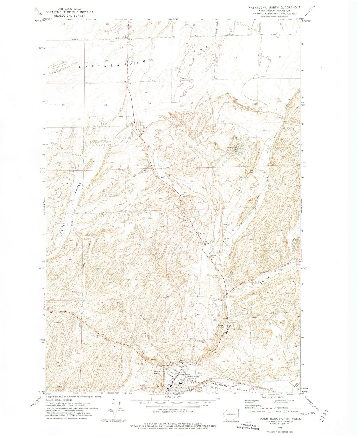
Historical USGS topographic quad map of Washtucna North in the state of Washington. Map scale may vary for some years, but is generally around 1:24,000. Print size is approximately 24" x 27"
This quadrangle is in the following counties: Adams.
The map contains contour lines, roads, rivers, towns, and lakes. Printed on high-quality waterproof paper with UV fade-resistant inks, and shipped rolled.
Contains the following named places: Adams County Fire Protection District 7, Bassett Spring, Bell Lake, Fletcher, Kinch Farms Airport, Rattlesnake Lake, Staley Coulee, Town of Washtucna, Washtucna, Washtucna Coulee, Washtucna Elementary School, Washtucna High School, Washtucna Pioneer Memorial Cemetery, ZIP Code: 99371