MyTopo
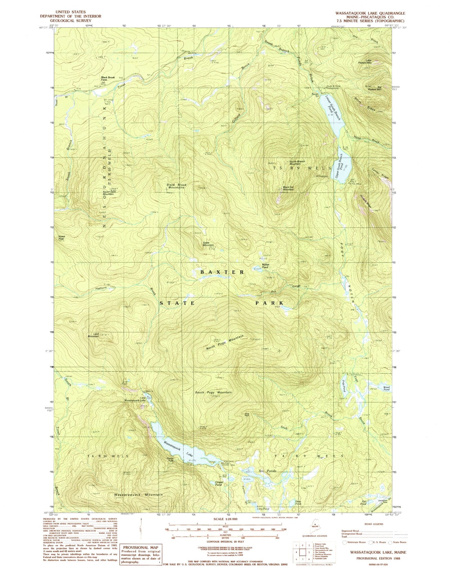
Classic USGS Wassataquoik Lake Maine 7.5'x7.5' Topo Map
Couldn't load pickup availability
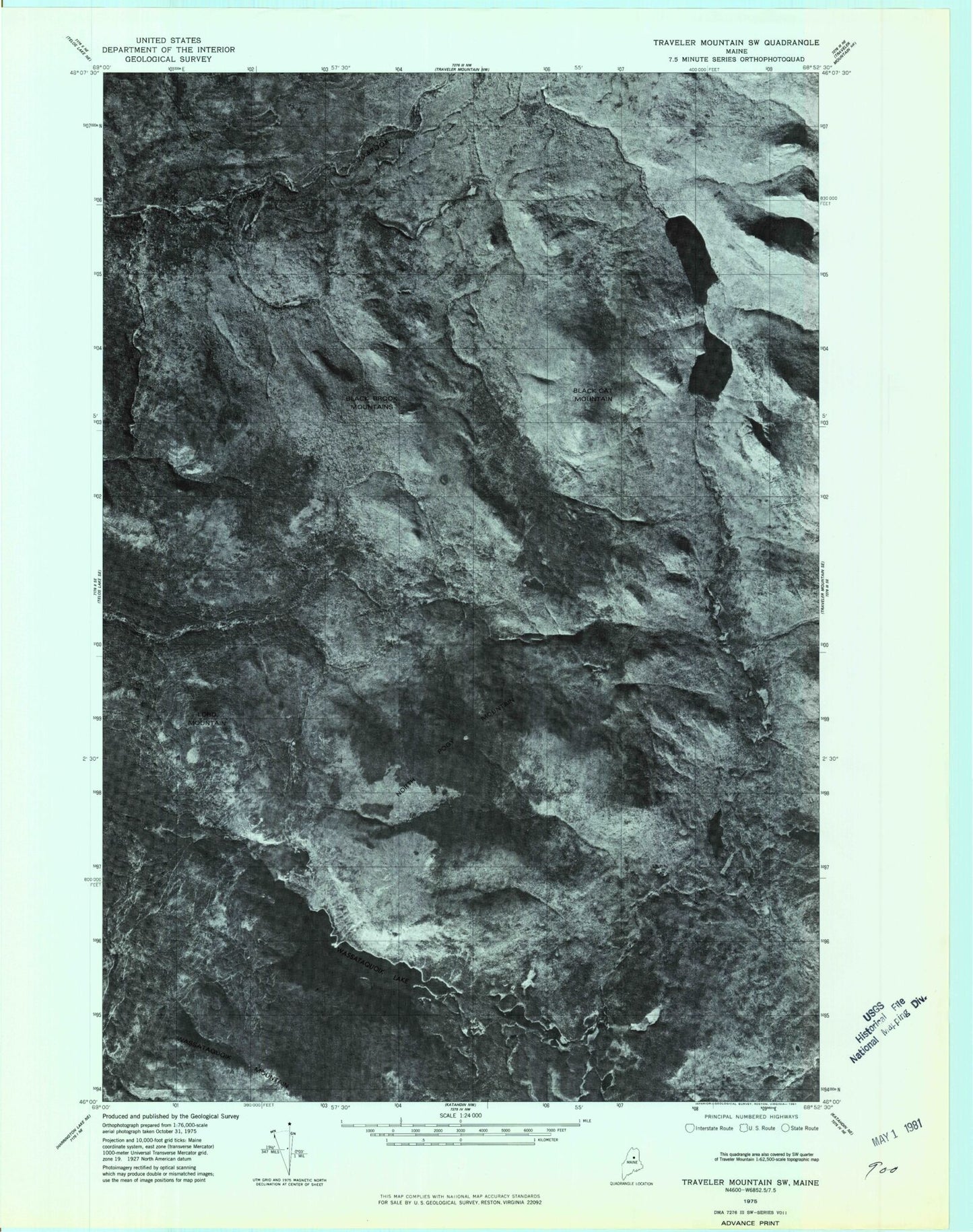
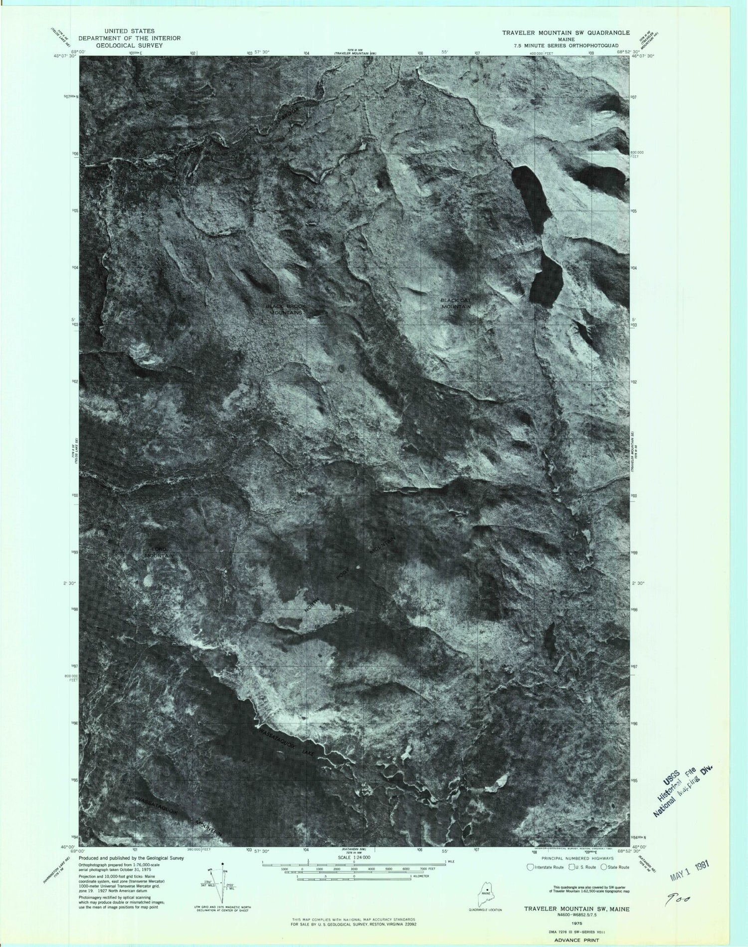
Historical USGS topographic quad map of Wassataquoik Lake in the state of Maine. Typical map scale is 1:24,000, but may vary for certain years, if available. Print size: 24" x 27"
This quadrangle is in the following counties: Piscataquis.
The map contains contour lines, roads, rivers, towns, and lakes. Printed on high-quality waterproof paper with UV fade-resistant inks, and shipped rolled.
Contains the following named places: Baxter State Park, Bell Pond, Big Peaked Mountain, Black Brook Farm, Black Brook Mountains, Black Cat Mountain, Center Ridge, Deep Pond, Draper Pond, Dry Gorge, Gifford Brook, Green Falls, Howe Brook, Howe Peak, Inscription Rock, Kennedy Brook, Little Peaked Mountain, Little Wassataquoik Lake, Long Pond, Lord Mountain, Lower South Branch Pond, Maher Pond, North Branch Trout Brook, North Pogy Mountain, North Ridge, Old Pogy Road, Pinnacle Ridge, Pogy Notch, Pogy Pond, Sable Mountain, Six Ponds, Snub Pitch, South Branch Trout Brook, South Pogy Mountain, Squirt Dam Mountain, Upper South Branch Pond, Wassataquoik Lake, Wassataquoik Tote Road, Weed Pond, Snub Brook, South Branch Pond Campground, T5 R9 WELS