MyTopo
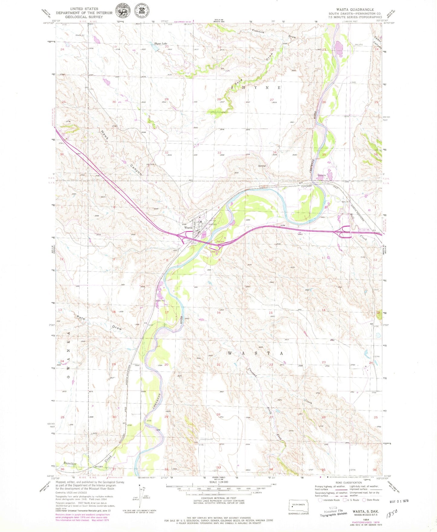
Classic USGS Wasta South Dakota 7.5'x7.5' Topo Map
Couldn't load pickup availability
Historical USGS topographic quad map of Wasta in the state of South Dakota. Map scale may vary for some years, but is generally around 1:24,000. Print size is approximately 24" x 27"
This quadrangle is in the following counties: Pennington.
The map contains contour lines, roads, rivers, towns, and lakes. Printed on high-quality waterproof paper with UV fade-resistant inks, and shipped rolled.
Contains the following named places: Boxelder Creek, Bull Creek, Cedar Canyon, Crooked Creek, Dakota City Post Office, Fivemile Draw, Hawk Canyon, Pats Draw, Sand Draw, Shyne 1 Dam, Shyne Lake, South Fork Crooked Creek, Town of Wasta, Township of Shyne, Township of Wasta, Wasta, Wasta Post Office, Wasta Volunteer Fire Department