MyTopo
Classic USGS Water Valley Texas 7.5'x7.5' Topo Map
Regular price
$16.95
Regular price
Sale price
$16.95
Unit price
per
Couldn't load pickup availability
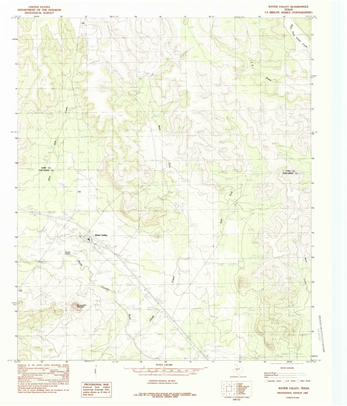
Historical USGS topographic quad map of Water Valley in the state of Texas. Map scale may vary for some years, but is generally around 1:24,000. Print size is approximately 24" x 27"
This quadrangle is in the following counties: Coke, Tom Green.
The map contains contour lines, roads, rivers, towns, and lakes. Printed on high-quality waterproof paper with UV fade-resistant inks, and shipped rolled.
Contains the following named places: Chalk Creek, East Fork Chalk Creek, Harper Park, McLaughlin Mountain, Ranger Spring, Shin Oak Creek, Water Valley, Water Valley Post Office, Water Valley Volunteer Fire Department, West Fork Chalk Creek