MyTopo
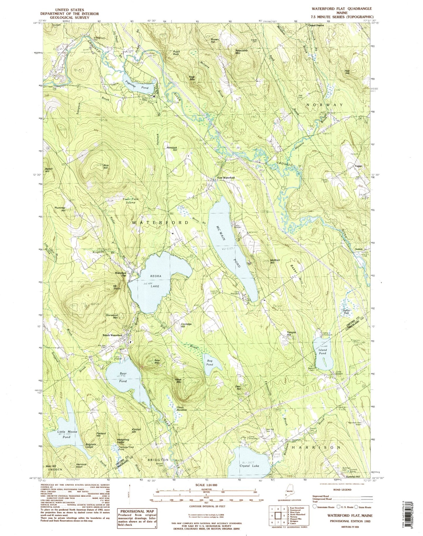
Classic USGS Waterford Flat Maine 7.5'x7.5' Topo Map
Couldn't load pickup availability
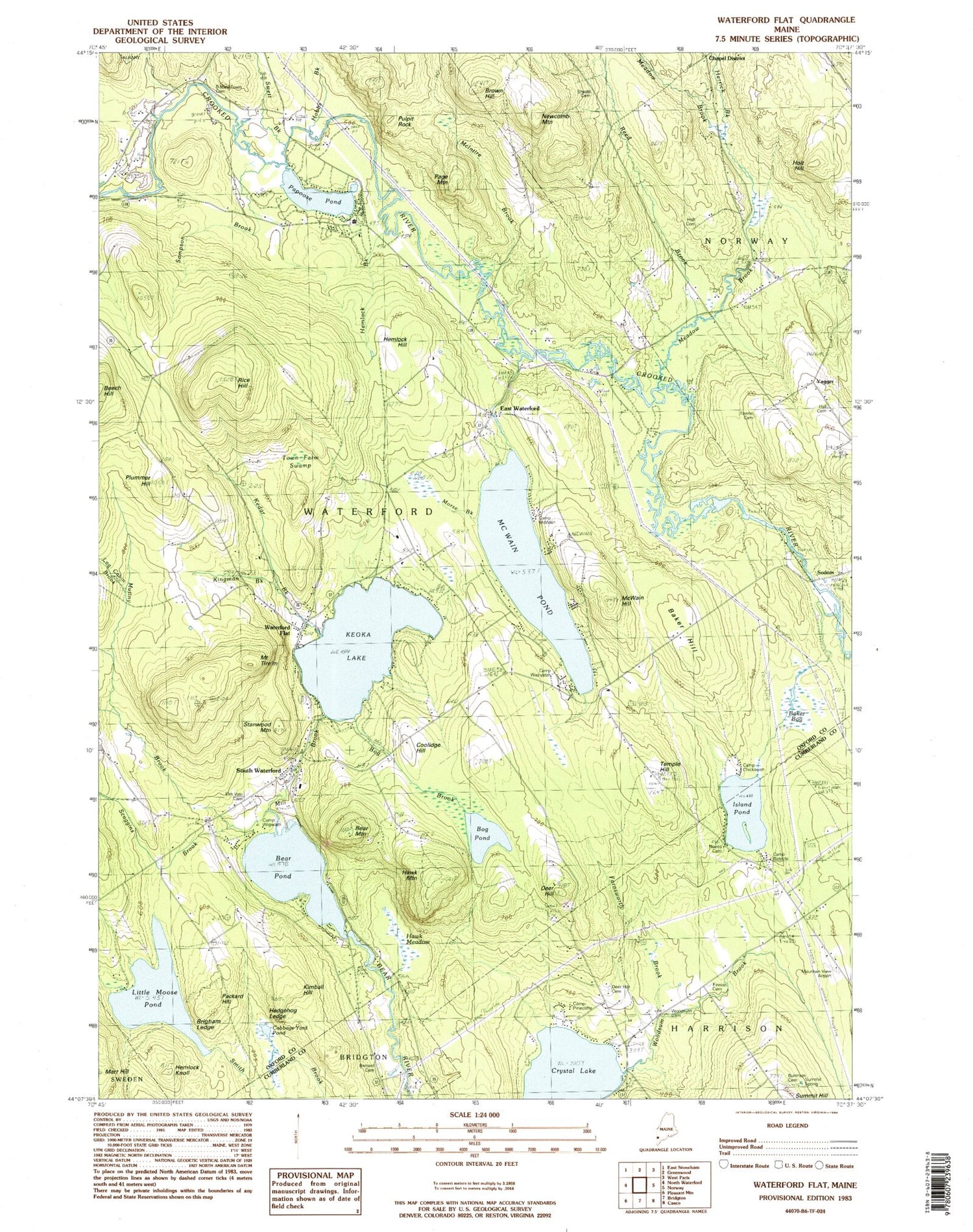
Historical USGS topographic quad map of Waterford Flat in the state of Maine. Typical map scale is 1:24,000, but may vary for certain years, if available. Print size: 24" x 27"
This quadrangle is in the following counties: Cumberland, Oxford.
The map contains contour lines, roads, rivers, towns, and lakes. Printed on high-quality waterproof paper with UV fade-resistant inks, and shipped rolled.
Contains the following named places: Baker Hill, Bear Mountain, Bear Pond, Bisbeetown Cemetery, Brigham Ledge, Brown Hill, Cabbage Yard Pond, Chapel District School, Deer Hill, Farnsworth Brook, Hawk Mountain, Hedgehog Ledge, Hemlock Knoll, Herrick Brook, Hobbs Brook, Holt Hill, Island Pond, Kedar Brook, Keoka Lake, Kimball Hill, Kingman Brook, Little Loose Pond, McIntire Brook, McWain Hill, McWain Pond, Meadow Brook, Mill Brook, Mills Brook, Bog Pond, Mud Pond, Mutiny Brook, Newcomb Mountain, Packard Hill, Page Mountain, Papoose Pond, Pulpit Rock, Rice Hill, South Waterford, Swell Brook, Temple Hill, Mount Tire'm, Woodsum Brook, East Waterford, Sodom, Yagger, Scoggins Brook, Waterford Flat, Town of Waterford, Bear Pond Dam, Baker Bog, Bear Mountain Village Campground, Camp McWain, Camp Waziyatah, Camp Wigwam, Coolidge Hill, Elm Vale Cemetery, First Congregational Church, Hall Cemetery, Hemlock Brook, Hemlock Hill, Holt Cemetery, Keoka Beach Campgrounds, Morse Brook, Stanwood Mountain, Town Farm Swamp, Waterford Post Office, Barnard Cemetery, Camp Bendito, Camp Pinecliffe, Deer Hill Cemetery, Finnish Cemetery, Mountain View Airport (historical), Noyes Cemetery, Woodsum Cemetery, Waterford Fire Department, Stoneham Rescue EMS, Woodsum Number 2 Cemetery, Nelson Family Plot, Shedd Cemetery, Towne Cemetery, Waterford Memorial School, Waterford Library Association, Summit Hill Cemetery


