MyTopo
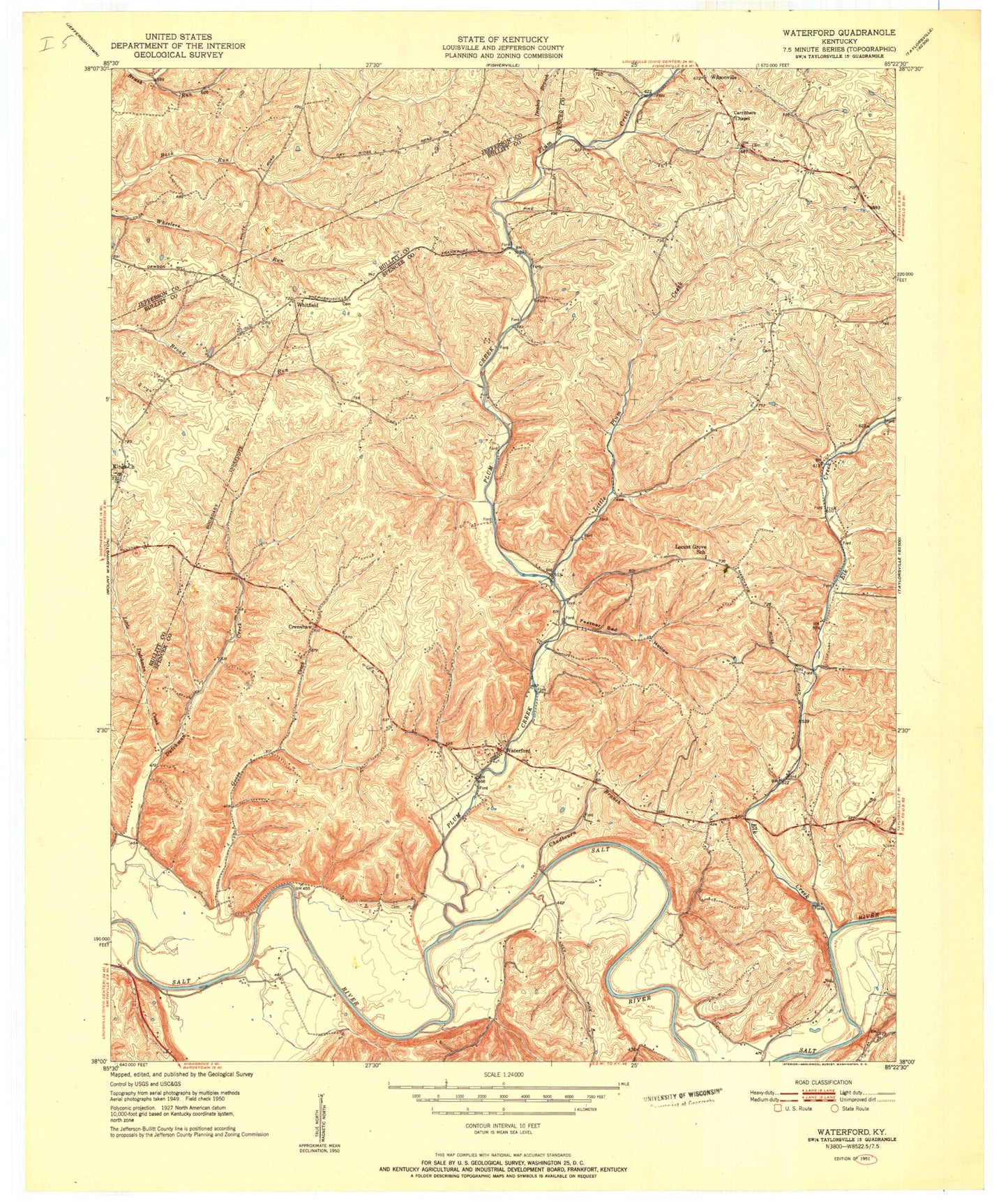
Classic USGS Waterford Kentucky 7.5'x7.5' Topo Map
Couldn't load pickup availability
Historical USGS topographic quad map of Waterford in the state of Kentucky. Map scale may vary for some years, but is generally around 1:24,000. Print size is approximately 24" x 27"
This quadrangle is in the following counties: Bullitt, Jefferson, Spencer.
The map contains contour lines, roads, rivers, towns, and lakes. Printed on high-quality waterproof paper with UV fade-resistant inks, and shipped rolled.
Contains the following named places: Carrithers Chapel, Chadbourn Branch, Crenshaw, Crenshaw Post Office, Drakes Branch, Elk Creek, Feather Bed Hollow, Forman School, Formans Ford, Goose Creek, Kings Church, Little Dutchman Creek, Little Plum Creek, Locust Gove School, Lucas Ford, Mount Washington Fire Department, Oak Grove School, Pleasant Valley School, Plum Creek, Plum Creek Baptist Church, School Number Three, Silo Farms, Taylorsville - Spencer County Fire Protection District Station 3, Waterford, Waterford Post Office, Waterford Reform Church, West Spencer Division, Whitfield, ZIP Code: 40071