MyTopo
Classic USGS Waterloo California 7.5'x7.5' Topo Map
Couldn't load pickup availability
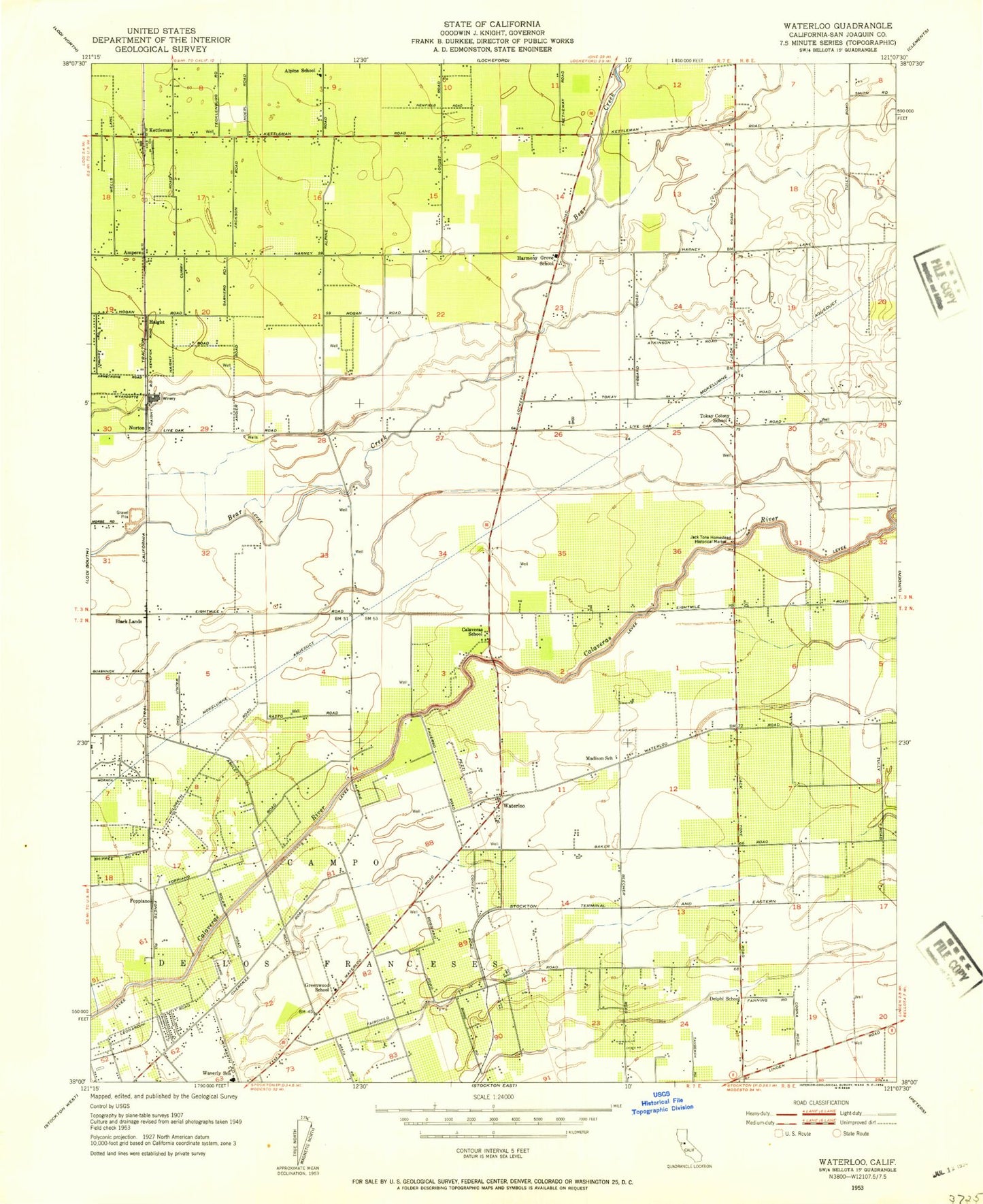
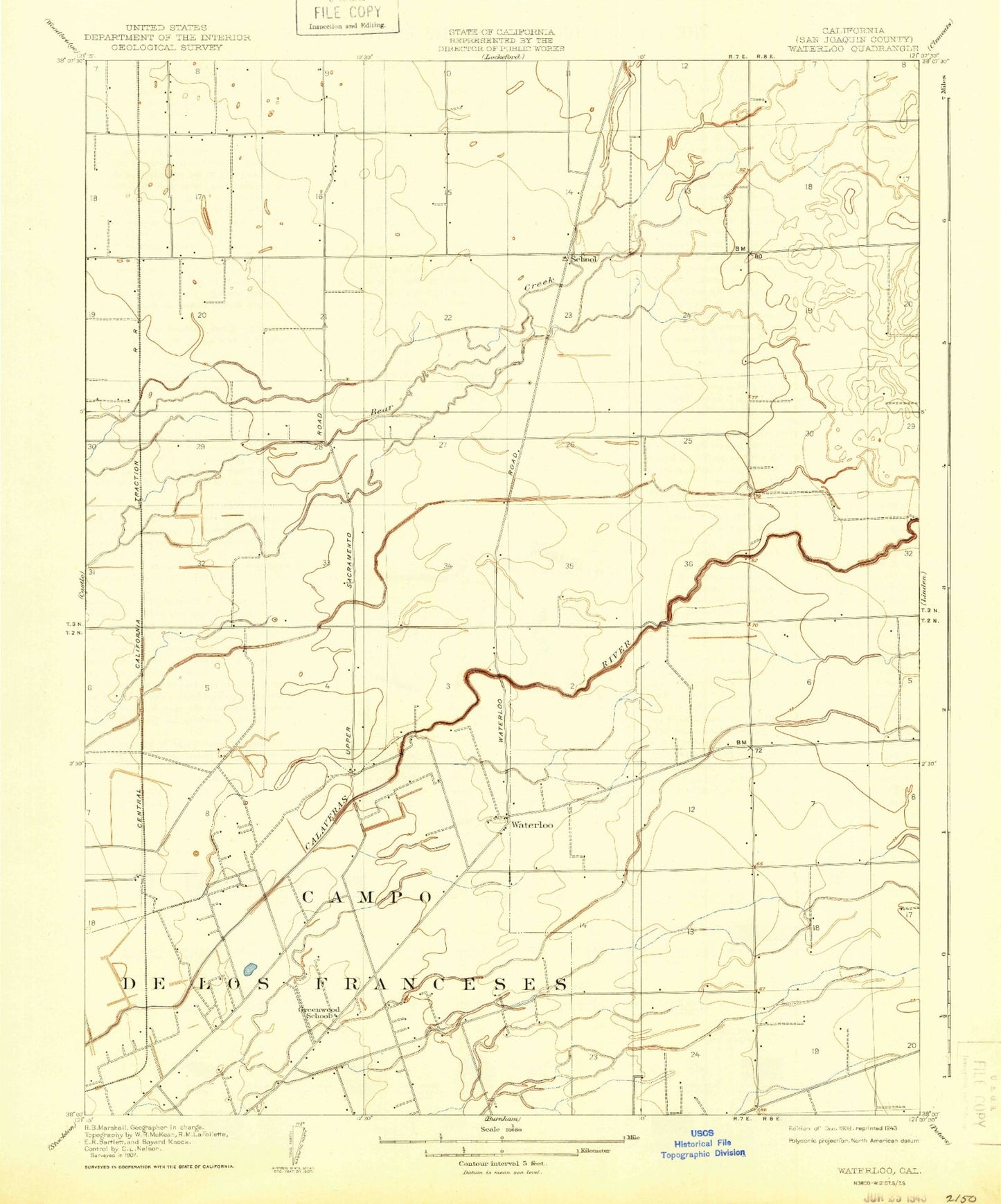
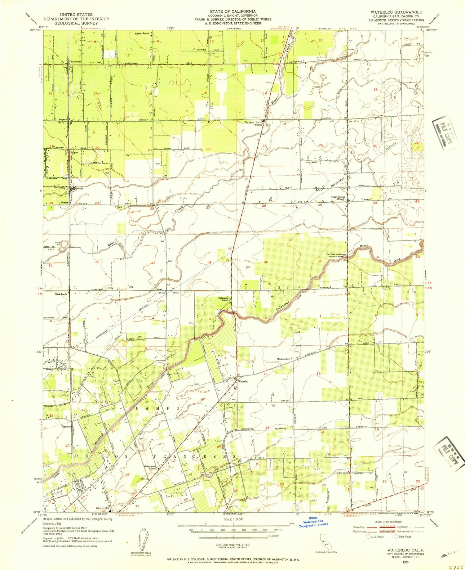
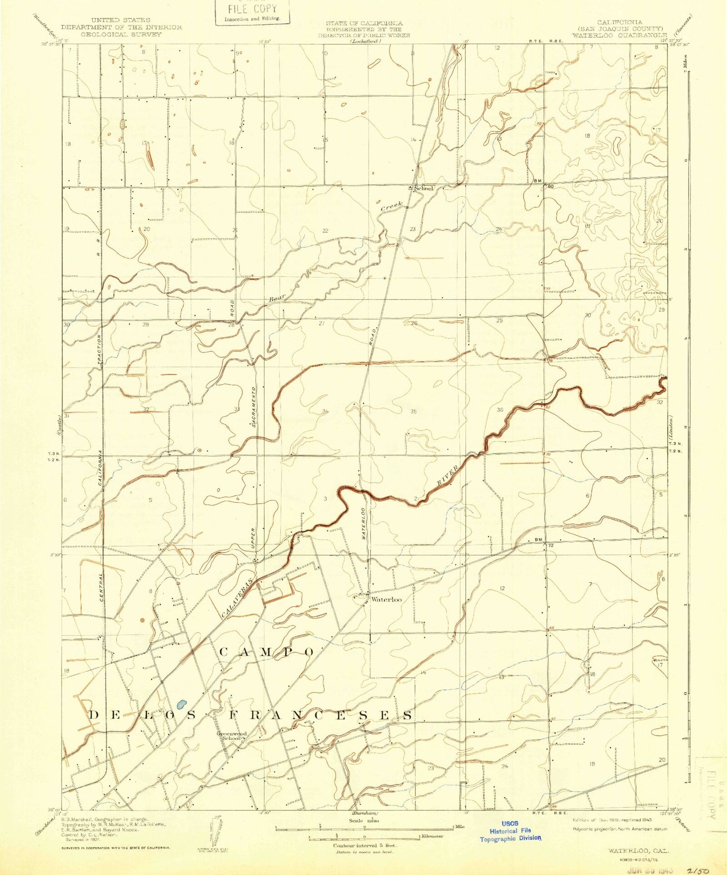
Historical USGS topographic quad map of Waterloo in the state of California. Map scale may vary for some years, but is generally around 1:24,000. Print size is approximately 24" x 27"
This quadrangle is in the following counties: San Joaquin.
The map contains contour lines, roads, rivers, towns, and lakes. Printed on high-quality waterproof paper with UV fade-resistant inks, and shipped rolled.
Contains the following named places: Alpine School, Ampere, Bear Creek, Bidwell School, Black Lands, Calaveras School, Cortopassi Airport, Davis Elementary School, Delphi School, Faber Vineyards Airport, Foppiano, Greenwood School, Haight, Harmony Grove School, Hawes, Jack Tone Homestead Historical Marker, KCVR-AM (Lodi), Kettleman, Middle Paddy Creek, Morada, Morada Census Designated Place, Morada Middle School, Norton, Paddy Creek, Saint Michaels Roman Catholic Church, San Joaquin County Special Education School, Shippee Home Ranch Park, South Paddy Creek, Tokay Colony Elementary School, Wallom Field, Waterloo, Waterloo - Morada Rural Fire Protection District, Waterloo Census Designated Place, Waterloo Elementary School, Waverly Elementary School, ZIP Codes: 95212, 95240


