MyTopo
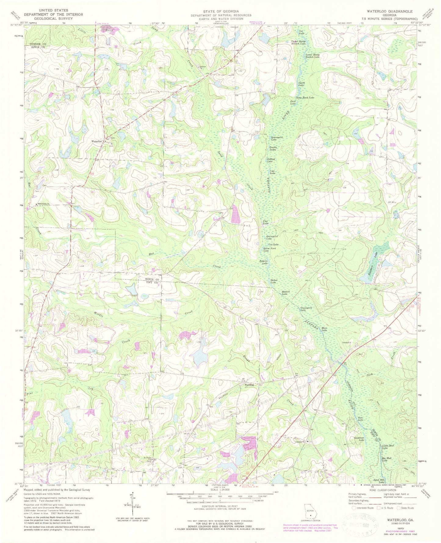
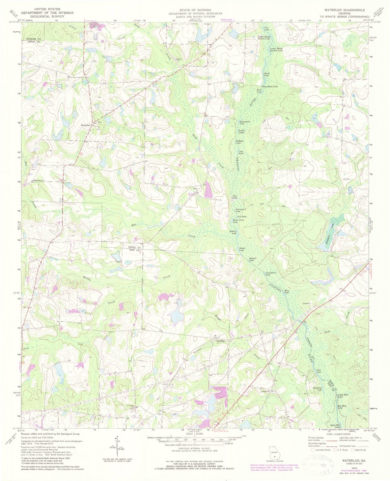
Classic USGS Waterloo Georgia 7.5'x7.5' Topo Map
Couldn't load pickup availability
Historical USGS topographic quad map of Waterloo in the state of Georgia. Map scale may vary for some years, but is generally around 1:24,000. Print size is approximately 24" x 27"
This quadrangle is in the following counties: Irwin, Tift, Turner.
The map contains contour lines, roads, rivers, towns, and lakes. Printed on high-quality waterproof paper with UV fade-resistant inks, and shipped rolled.
Contains the following named places: Adcock-Morris Lake, Adcock-Morris Lake Dam, Adcock-Morris Lake North, Adcock-Morris Lake North Dam, Adcock-Morris Lake Number One, Adcock-Morris Lake Number One Dam, Big Mud Lake, Bisbin Lake, Bisbin Lake Dam, Brighton, Cat Lake, Chiles Lake, Chiles Lake Dam, Double Lake, Eureka Cemetery, Eureka Church, First Defiance Church, Flat Lake, Fletcher Pond, Fletcher Pond Dam, Fletchers Lake, Fletchers Lake Dam, Ford Lake, Goodman Lake, Graveyard Lake, Gun Lake, Hall Lake, Hall Lake Dam, Harding, Harding Cemetery, Harding Church, Harding Consolidated School, Hat Creek, Hoganville, Horse Ford Lake, Jack Creek, Lathon Lake, Lathon Lake Dam, Lathon Lake North, Lathon Lake North Dam, Liberty Church, Lige Lake, Little Mud Lake, Little Sand Creek, Living Waters Tabernacle, Lower Reedy Branch Lake, Macedonia Cemetery, Macedonia Church, McDaniel Lake, McDaniel Lake Dam, Middle Creek, Morris Lake, Morris Lake Dam, Moss Lake, Mudcat Lake, Pine Log Creek, Rankin Lake, Rankin Lake Dam, Redbug Lake, Roberts Lake, Rough Creek, Saint Pauls Church, Sand Creek, Sand Hill Lake, Shikel Lake, Smith Lake, Steep Bank Lake, Stevens Lake, Stevens Lake Dam, Thick Creek, Tift County Fire Department Station 8, Tifton Fishing Club Lake, Tifton Fishing Club Lake Dam, Upper Reedy Branch Lake, Waterloo, Waterloo Cemetery, Waterloo Missionary Baptist Church, Waterloo Volunteer Fire Department, ZIP Code: 31733


