MyTopo
Classic USGS Waterproof Louisiana 7.5'x7.5' Topo Map
Couldn't load pickup availability
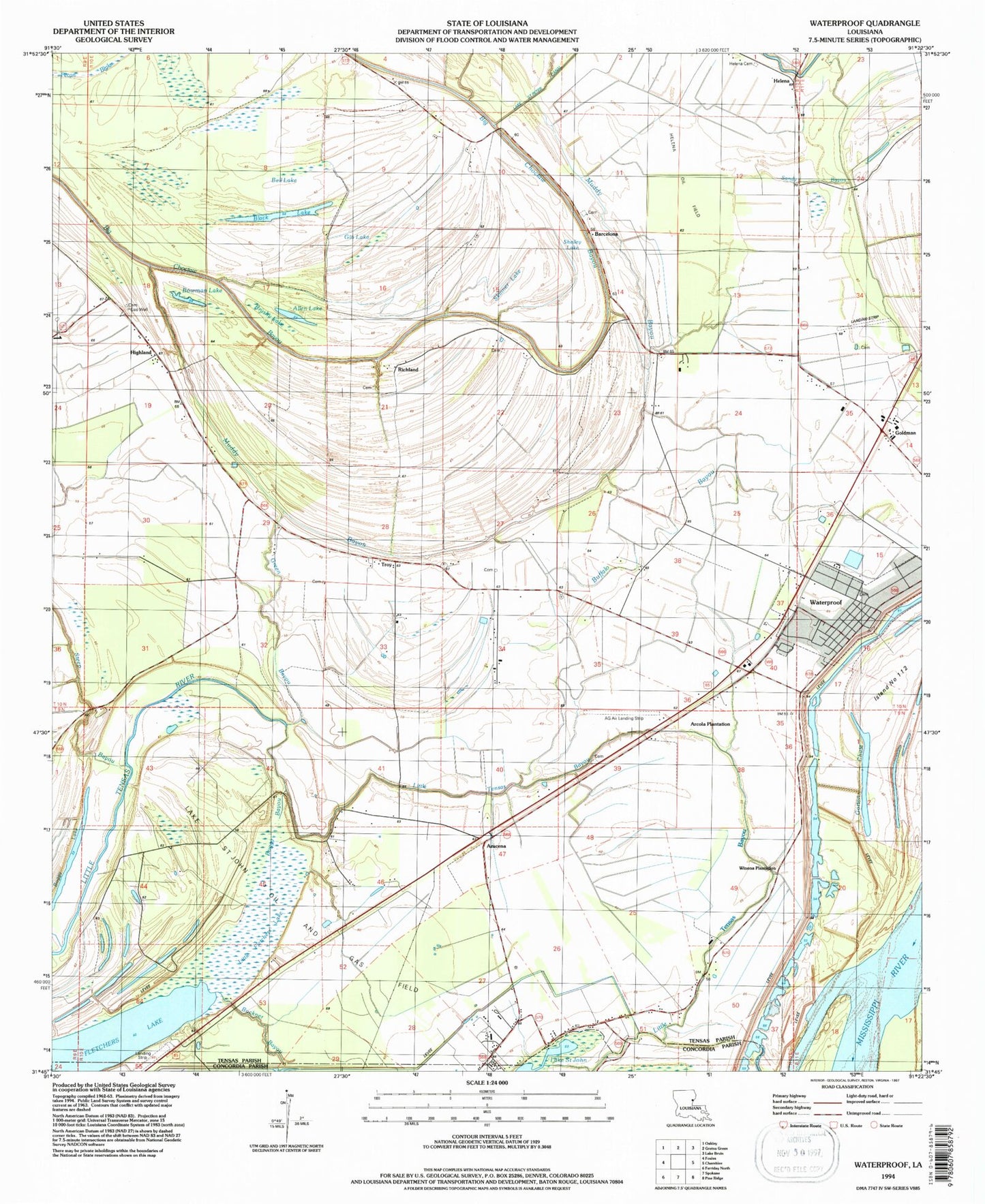
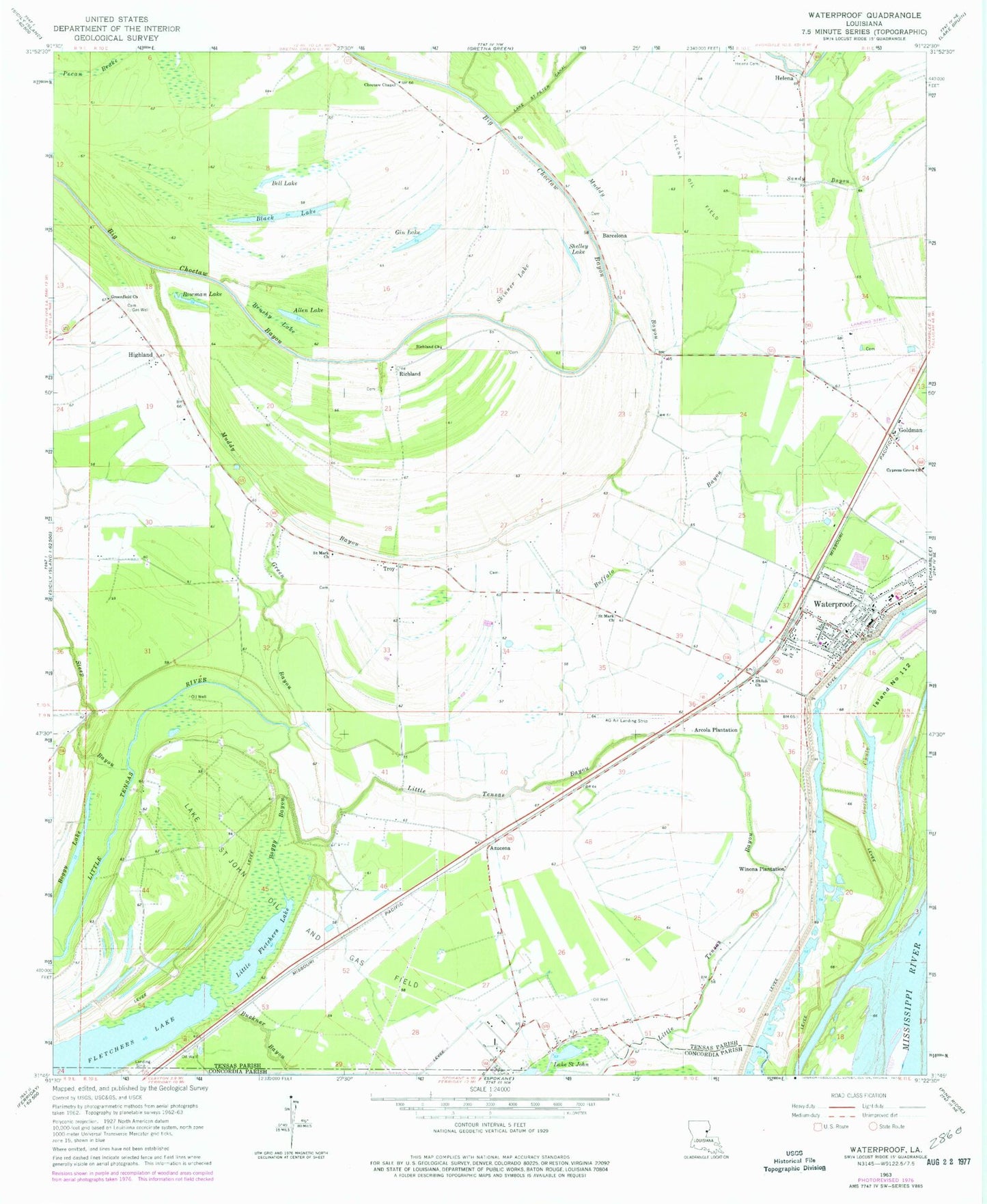
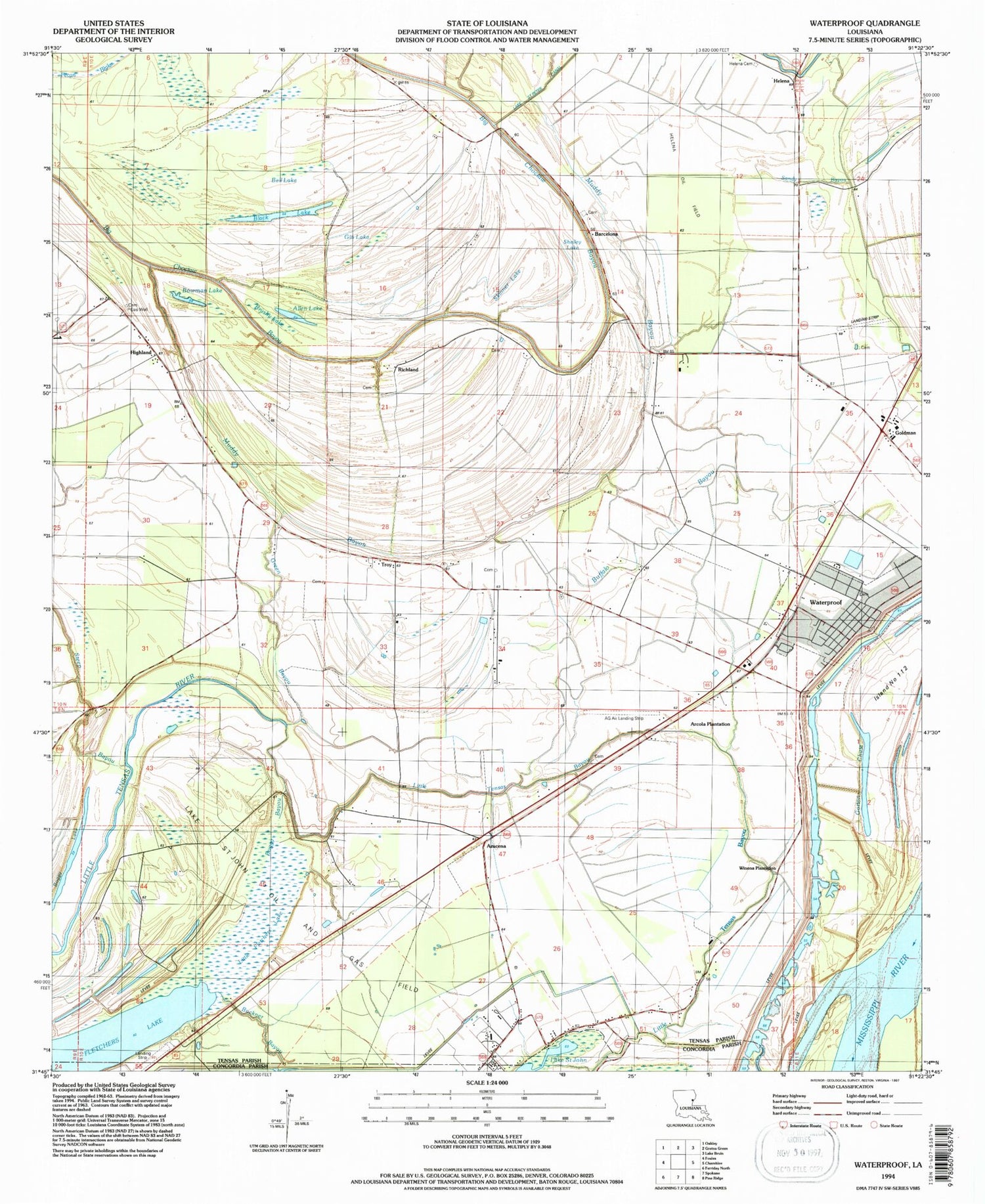
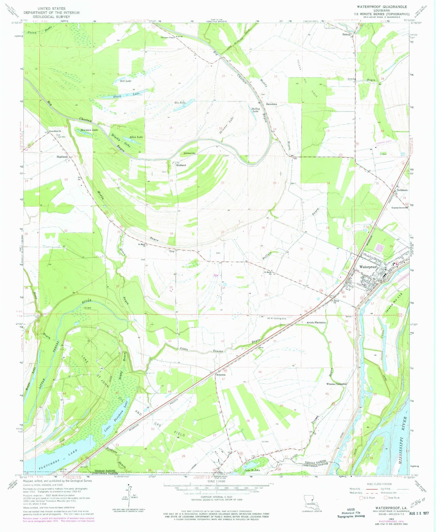
Historical USGS topographic quad map of Waterproof in the state of Louisiana. Map scale may vary for some years, but is generally around 1:24,000. Print size is approximately 24" x 27"
This quadrangle is in the following counties: Concordia, Tensas.
The map contains contour lines, roads, rivers, towns, and lakes. Printed on high-quality waterproof paper with UV fade-resistant inks, and shipped rolled.
Contains the following named places: Ag Air Incorporated Airport, Allen Lake, Arcola Plantation, Azucena, Barcelona, Bell Lake, Black Lake, Boggy Bayou, Boggy Lake, Bowman Lake, Brushy Lake, Buffalo Bayou, Choctaw Baptist Church, Consuella, Cypress Grove Church, Fish lake, Fletchers Lake, Gin Lake, Goldman, Gorton Chute, Green Bayou, Greenfield Church, Helena, Helena Cemetery, Helena Oil Field, Highland, Independent Ridge, Lake Saint John Oil and Gas Field, L'Argent Landing, Lisbon Elementary School, Little Fletchers Lake, Little Tensas Bayou, Luckett, Muddy Bayou, Newfoundland Plantation, Northeast Lake Saint John Gas Field, Parish Governing Authority District 6, Parish Governing Authority District 7, Richland, Richland Church, Saint John, Saint Mark Church, Sandy Bayou, Shelley Lake, Shiloh Baptist Church, Skinner Lake, Steep Bayou, Sunnybank Plantation, Tensas Parish Fire District 1 Station 3, Tensas Parish Fire District 1 Station 9, Town of Waterproof, Troy, Ward Seven, Ward Six, Waterproof, Waterproof Cutoff, Waterproof High School, Waterproof Landing, Waterproof Police Department, Waterproof Post Office, Waterproof United Methodist Church, Winona Cemetery, Winona Plantation, ZIP Code: 71375


