MyTopo
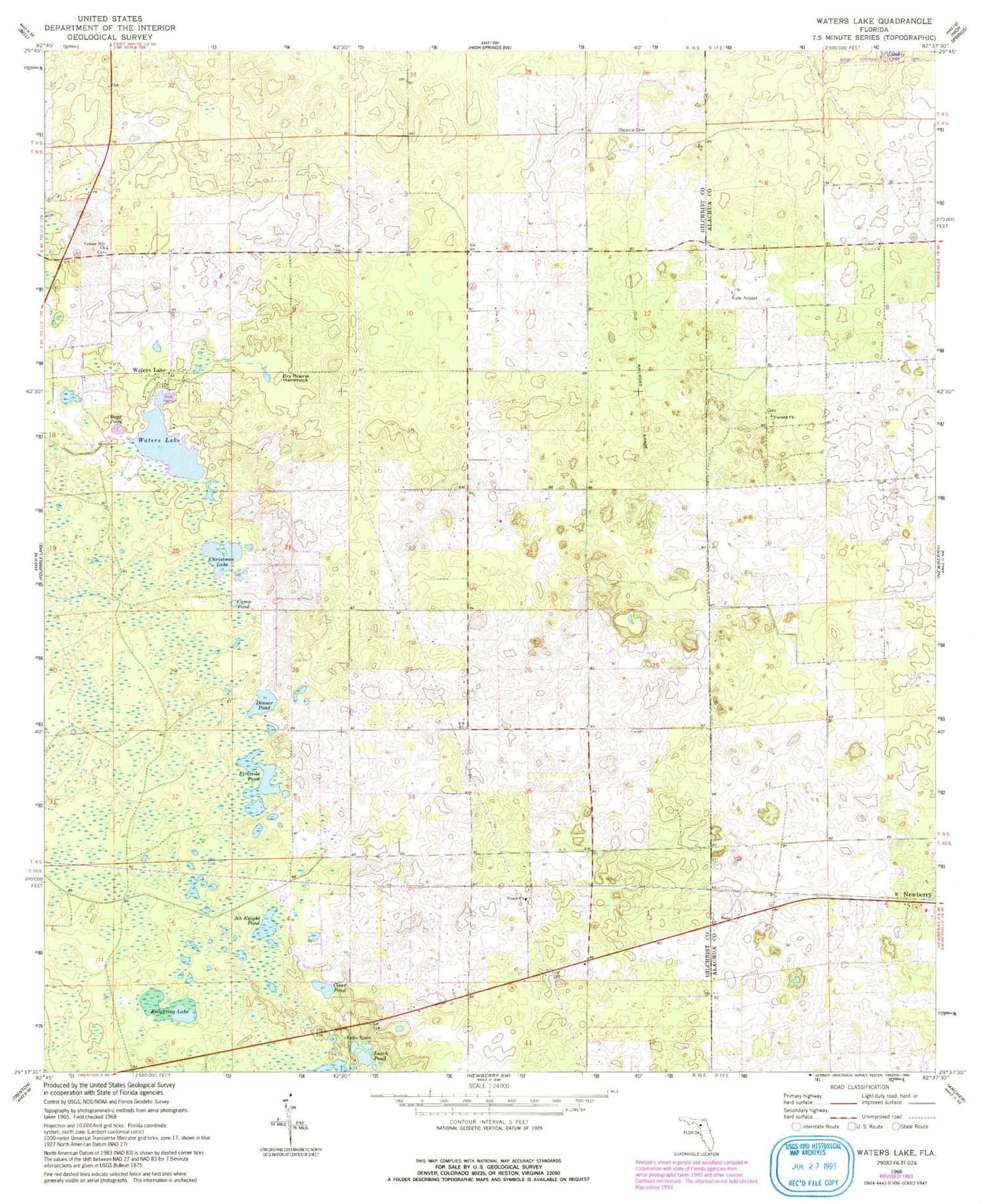
Classic USGS Waters Lake Florida 7.5'x7.5' Topo Map
Couldn't load pickup availability
Historical USGS topographic quad map of Waters Lake in the state of Florida. Map scale may vary for some years, but is generally around 1:24,000. Print size is approximately 24" x 27"
This quadrangle is in the following counties: Alachua, Gilchrist.
The map contains contour lines, roads, rivers, towns, and lakes. Printed on high-quality waterproof paper with UV fade-resistant inks, and shipped rolled.
Contains the following named places: Bogg Pond, Camp Pond, Center Hill Church, Christmas Lake, Clear Pond, Corinth Church, Dinner Pond, Dry Prairie Hammock, Fivemile Pond, Gilchrist County Fire and Rescue Station 4, Iris Railroad Station, Jeb Knight Pond, Knighting Lake, Leech Pond, Mona Railroad Station, Oak Tree Landing, Osceola Cemetery, Rush Airport, Thames, Thames Junction, Union Church, Waters Lake


