MyTopo
Classic USGS Watertown East South Dakota 7.5'x7.5' Topo Map
Couldn't load pickup availability
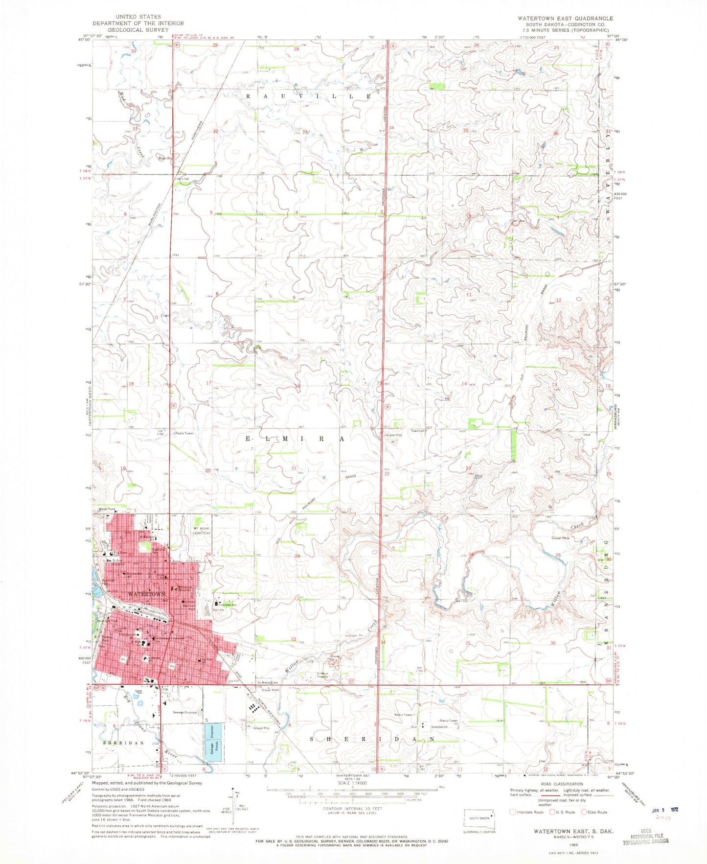
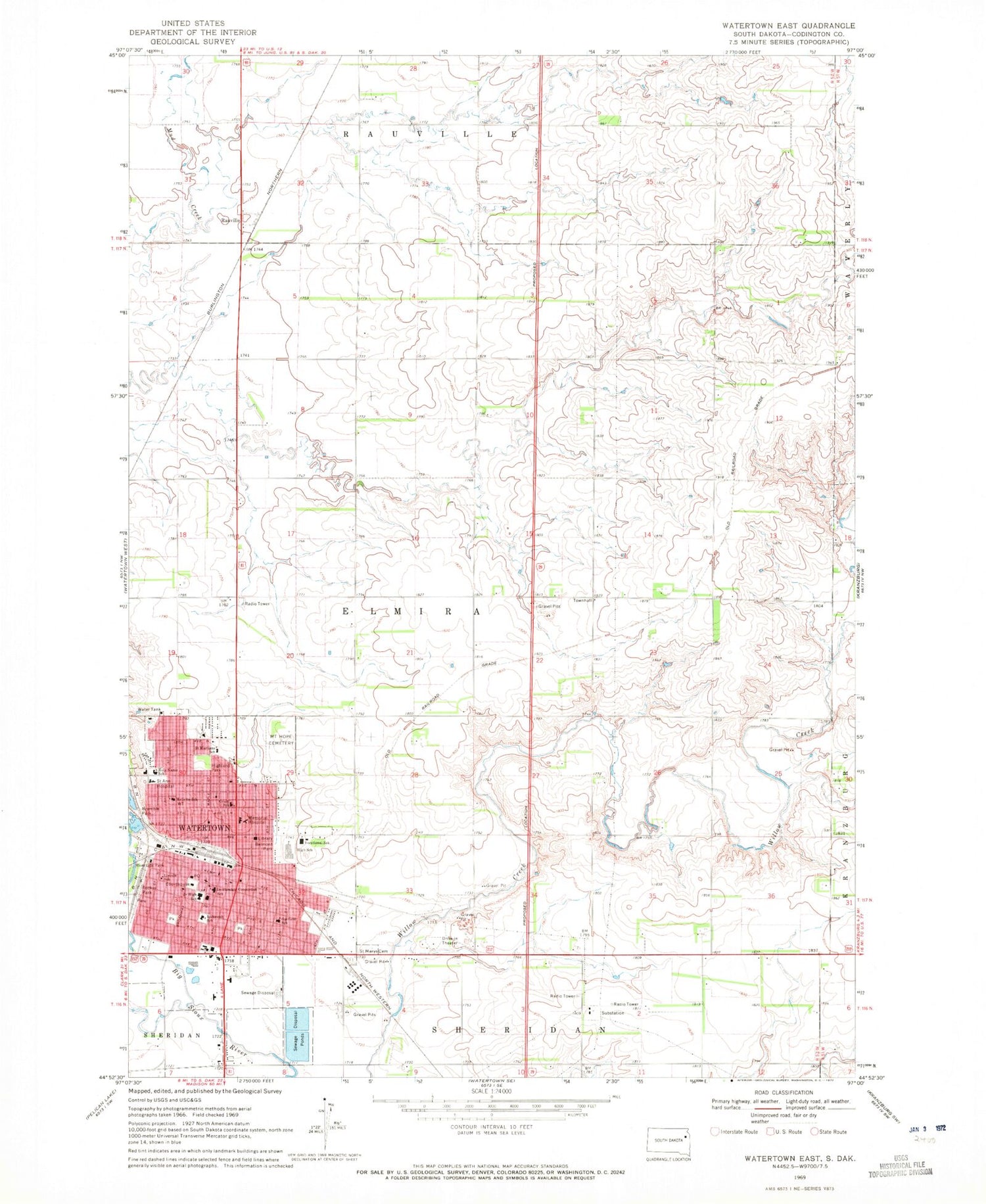
Historical USGS topographic quad map of Watertown East in the state of South Dakota. Map scale may vary for some years, but is generally around 1:24,000. Print size is approximately 24" x 27"
This quadrangle is in the following counties: Codington.
The map contains contour lines, roads, rivers, towns, and lakes. Printed on high-quality waterproof paper with UV fade-resistant inks, and shipped rolled.
Contains the following named places: Agriculture and Custom Paint and Fab Building, Automotive Technology Building, Belmont Park, Building Trades Technology Building, Children's Educare Center, Codington County Courthouse, Codington County Heritage Museum, Codington County Jail, Codington County Sheriff's Office, Garfield Elementary School, Grant School, Great Plains Lutheran High School, Highland Park, Holy Name School, Immaculate Conception School, Jefferson Elementary School, KLSC-AM (Watertown), Lake Area Technical Institute, Lincoln Elementary School, Main Building, Manufacturing Energy and Transportation Center, Mellette Elementary School, Miracle Mall, Mount Hope Cemetery, National American University - Watertown, Prairie Lakes Healthcare System, Rauville, Rockys Park, Roosevelt Elementary School, Saint Ann Hospital, Saint Martins Elementary School, Saint Marys Cemetery, Student Services Center, Technical Education Center, Township of Elmira, Watertown, Watertown City Auditorium, Watertown City Hall, Watertown Civic Arena, Watertown Family Aquatic Center, Watertown Fire and Rescue, Watertown High School, Watertown Junior High School, Watertown Mall, Watertown Police Department, Watertown Post Office, Watertown Regional Library, ZIP Code: 57201


