MyTopo
Classic USGS Watertown SE South Dakota 7.5'x7.5' Topo Map
Regular price
$16.95
Regular price
Sale price
$16.95
Unit price
per
Couldn't load pickup availability
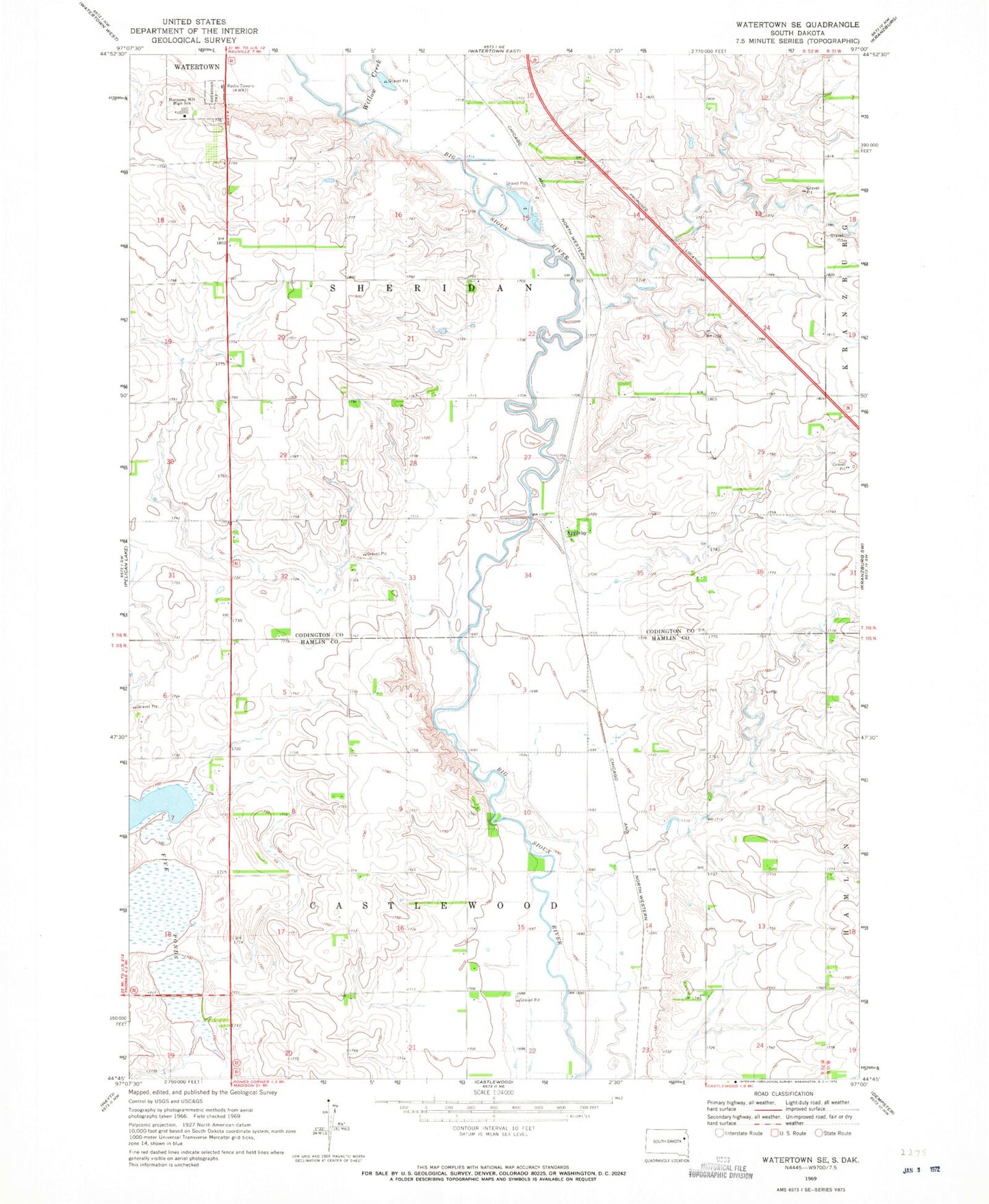
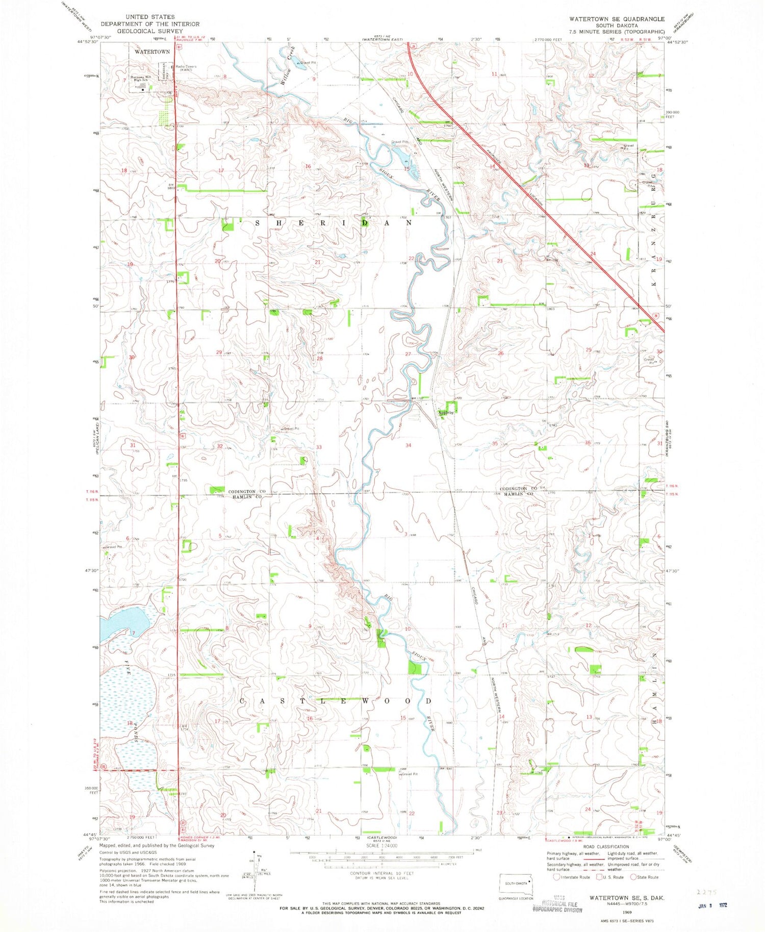
Historical USGS topographic quad map of Watertown SE in the state of South Dakota. Map scale may vary for some years, but is generally around 1:24,000. Print size is approximately 24" x 27"
This quadrangle is in the following counties: Codington, Hamlin.
The map contains contour lines, roads, rivers, towns, and lakes. Printed on high-quality waterproof paper with UV fade-resistant inks, and shipped rolled.
Contains the following named places: Appleby, Five Ponds, German Lutheran Church, Harmony Hill High School, KIXX-FM (Watertown), KWAT-AM (Watertown), Mother of God Monastery Cemetery, Township of Castlewood, Township of Sheridan, Willow Creek