MyTopo
Classic USGS Watertown West South Dakota 7.5'x7.5' Topo Map
Couldn't load pickup availability
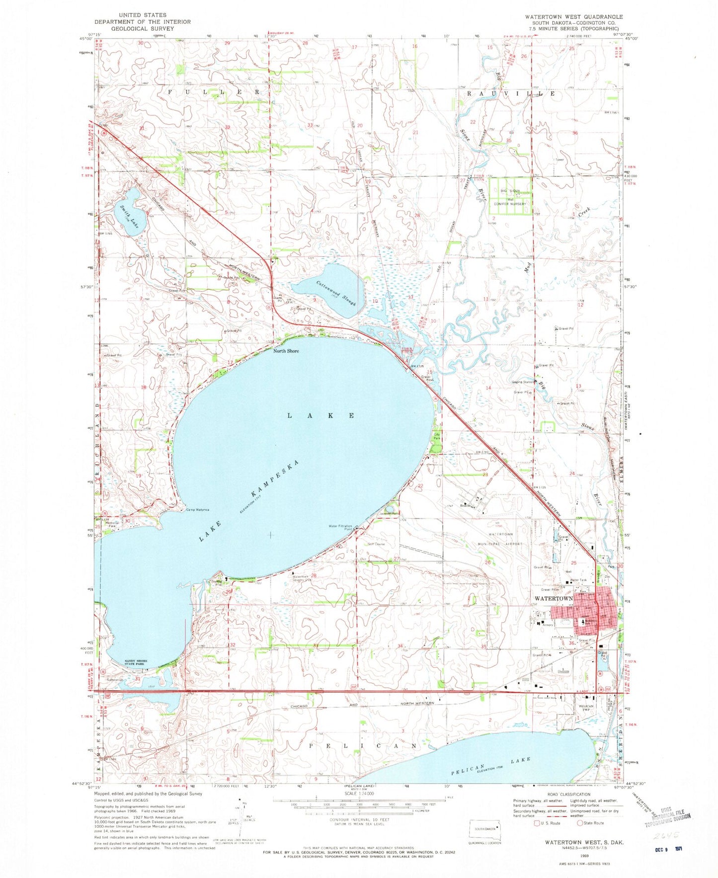
Historical USGS topographic quad map of Watertown West in the state of South Dakota. Map scale may vary for some years, but is generally around 1:24,000. Print size is approximately 24" x 27"
This quadrangle is in the following counties: Codington.
The map contains contour lines, roads, rivers, towns, and lakes. Printed on high-quality waterproof paper with UV fade-resistant inks, and shipped rolled.
Contains the following named places: Big Sioux Conifer Nursery, Bramble Park, Bramble Park Zoo, Camp Watymca, City of Watertown, Codington County, Cottonwood Slough, Green Trees Subdivision, Jackson Park, Koch Complex, Lake County Township Hall, Lake Kampeska, Lake Place, McKinley Elementary School, Mother of God Monastery, Mother of God Monastery Cemetery, Mud Creek, North Shore, Riverside Park, Sandy Shore State Park, Smith Lake, Sunset Beach, Township of Lake, Watertown Army Air Field, Watertown Country Club, Watertown Event Center, Watertown Regional Airport, Watertown Stadium


