MyTopo
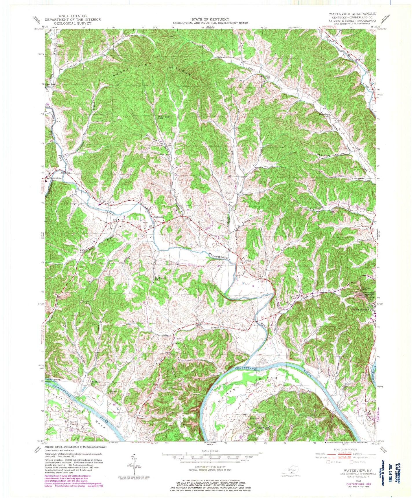
Classic USGS Waterview Kentucky 7.5'x7.5' Topo Map
Couldn't load pickup availability
Historical USGS topographic quad map of Waterview in the state of Kentucky. Typical map scale is 1:24,000, but may vary for certain years, if available. Print size: 24" x 27"
This quadrangle is in the following counties: Cumberland, Metcalfe.
The map contains contour lines, roads, rivers, towns, and lakes. Printed on high-quality waterproof paper with UV fade-resistant inks, and shipped rolled.
Contains the following named places: Allen Creek, Baise Chapel, Beech Grove School, Bombshell Creek, Branham Cemetery, Bull Ridge, Carter Branch, Casey Fork, Casey Fork School, Cloyds Landing Island, Cumberland Overlook, Dug Road Hollow, Dutch Creek, Dutch Creek Church, Ellington Cemetery, Franklin Branch, German Branch, Grider, Haggard Branch, Leslie Branch, Leslie School, Little Renox School, Marrowbone Creek, Mount Hope Church, Newby Cemetery, North Hollow, Oliver Ferry, Pleasant Hill School, Pumpkin Hollow, Purgatory Hollow, Rocky Point Ridge, Strange Branch, Sugar Grove School, Waterview, Whites Bottom, Youngs School, Arat, Cloyds Landing, Ellington, Leslie, Cumberland County, WKYR-FM (Burkesville), Burkesville Division, Big Renox, Carter Branch, Casey Fork, Lions Branch, Little Renox (historical), Norris Fork, Shaddoan Branch, Sugar Grove (historical), Yellow Branch


