MyTopo
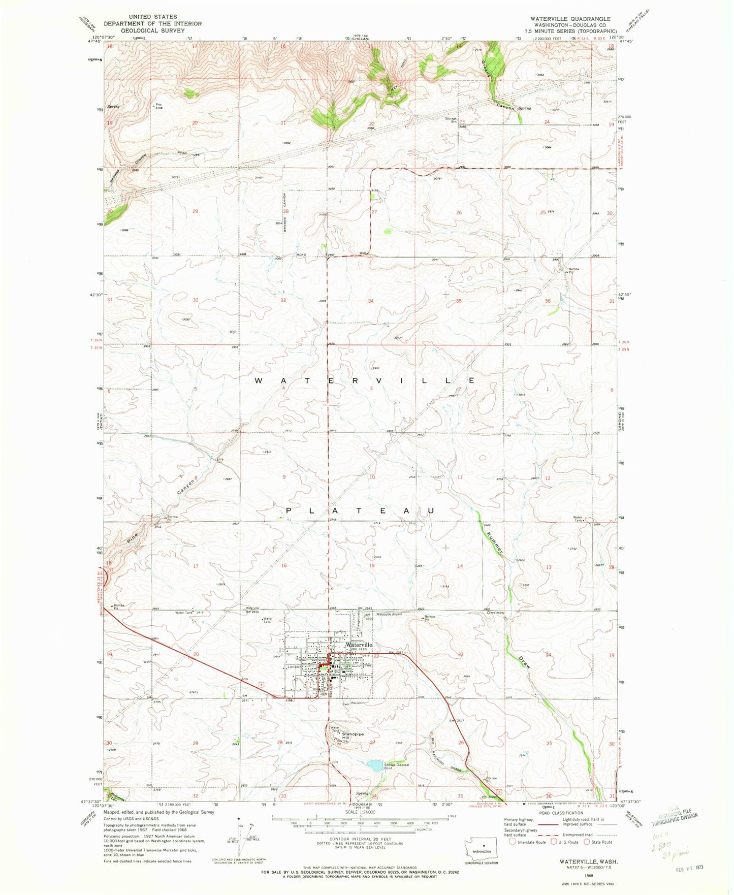
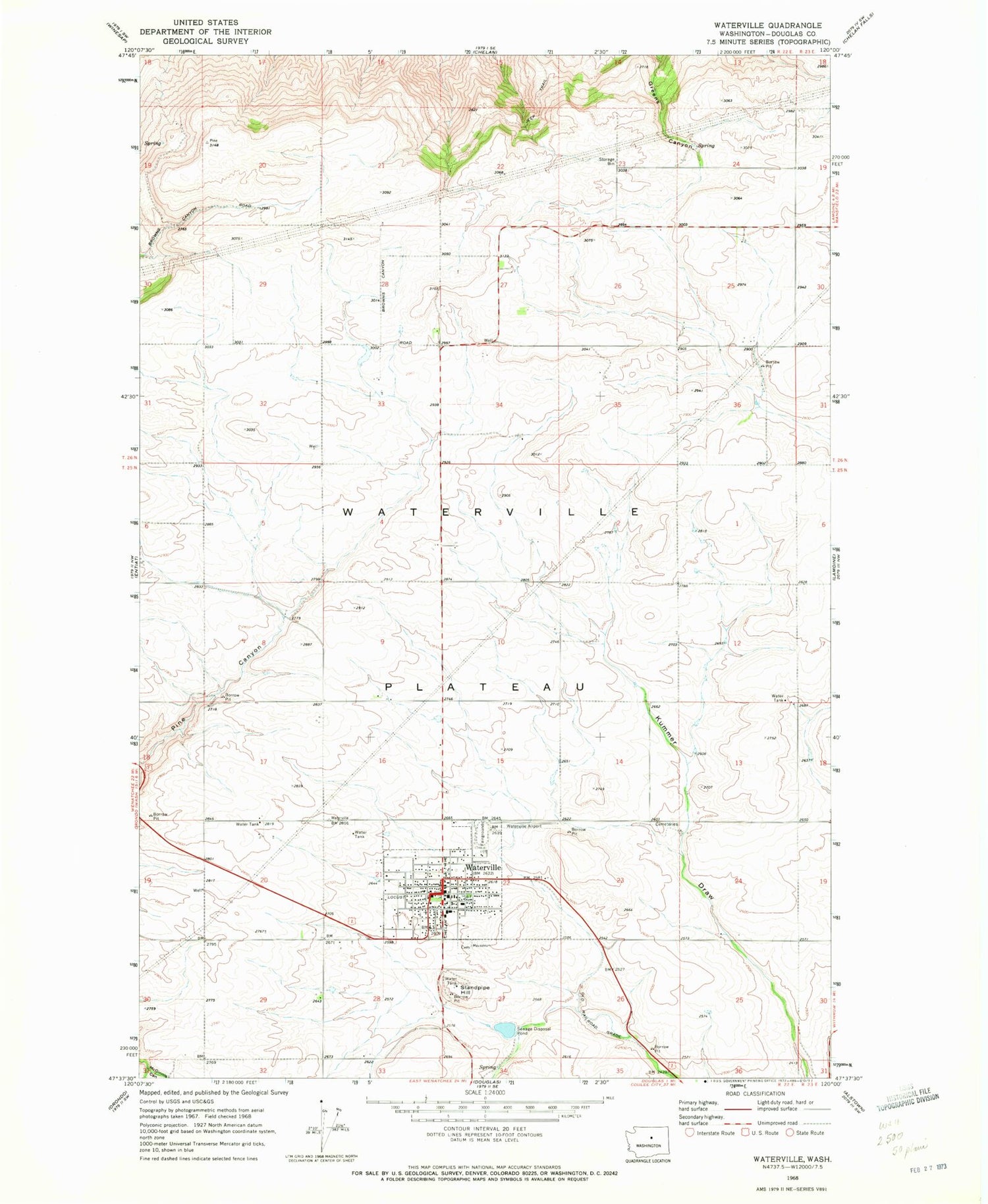
Classic USGS Waterville Washington 7.5'x7.5' Topo Map
Couldn't load pickup availability
Historical USGS topographic quad map of Waterville in the state of Washington. Map scale may vary for some years, but is generally around 1:24,000. Print size is approximately 24" x 27"
This quadrangle is in the following counties: Douglas.
The map contains contour lines, roads, rivers, towns, and lakes. Printed on high-quality waterproof paper with UV fade-resistant inks, and shipped rolled.
Contains the following named places: Douglas County Fire District 1, Douglas County Sheriff's Office Waterville, Douglas Draw, McGinnis Canyon, McKay Dam, Standpipe Hill, Town of Waterville, Waterville, Waterville Airport, Waterville Ambulance Service, Waterville Elementary School, Waterville High School, Waterville Plateau, Waterville Post Office, Waterville Sewage Disposal Pond, Waterville Sewage Disposal Pond Dam