MyTopo
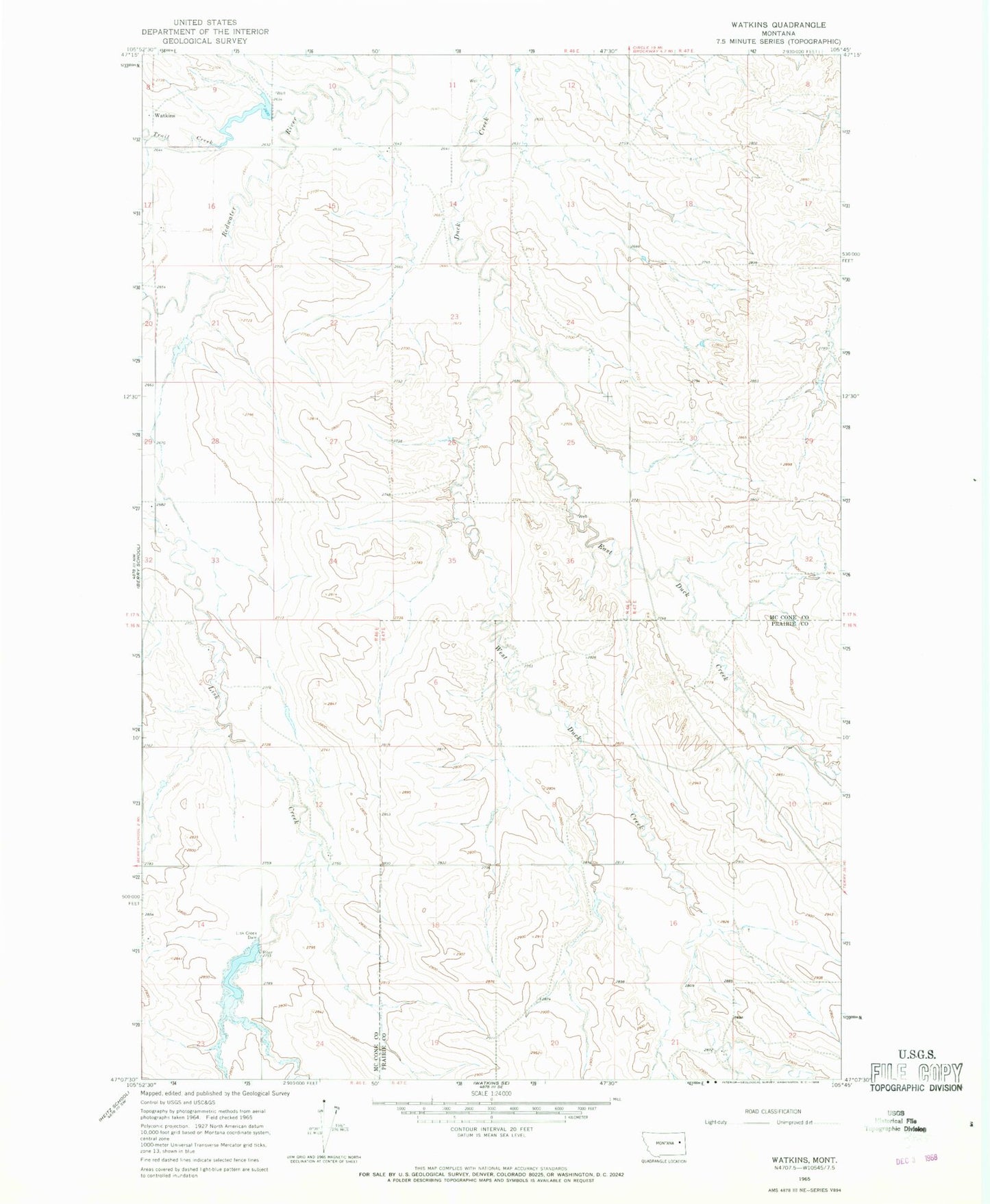
Classic USGS Watkins Montana 7.5'x7.5' Topo Map
Couldn't load pickup availability
Historical USGS topographic quad map of Watkins in the state of Montana. Map scale may vary for some years, but is generally around 1:24,000. Print size is approximately 24" x 27"
This quadrangle is in the following counties: McCone, Prairie.
The map contains contour lines, roads, rivers, towns, and lakes. Printed on high-quality waterproof paper with UV fade-resistant inks, and shipped rolled.
Contains the following named places: 16N46E02ACBA01 Well, 16N46E12DCCA01 Well, 16N47E06ADAA01 Well, 16N47E15CBA_01 Well, 16N47E15CBAA02 Well, 16N47E21DAAD01 Well, 17N46E11ADCC01 Well, 17N46E15AAAA01 Well, 17N47E17DBD_01 Well, 17N47E31CCCA01 Well, Dunlap Creek, East Duck Creek, Hughes Dam, Jordan Reservoir Number 1 Dam, Jordan Reservoir Number 2 Dam, Lisk Creek Dam, Lisk Creek Reservoir, Thorn Dam, Three Buttes School, Trail Creek, Watkins, Watkins Post Office, West Duck Creek