MyTopo
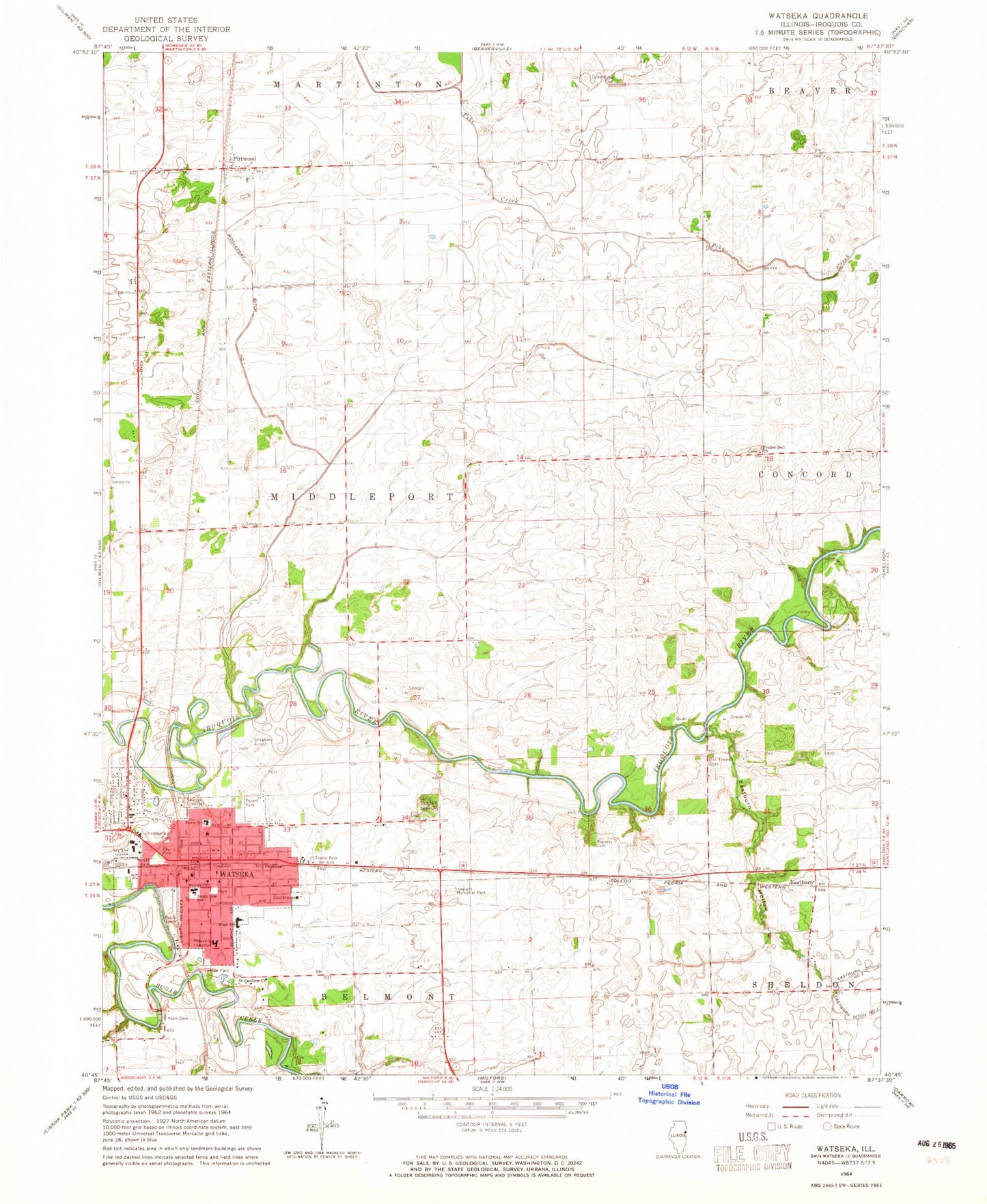
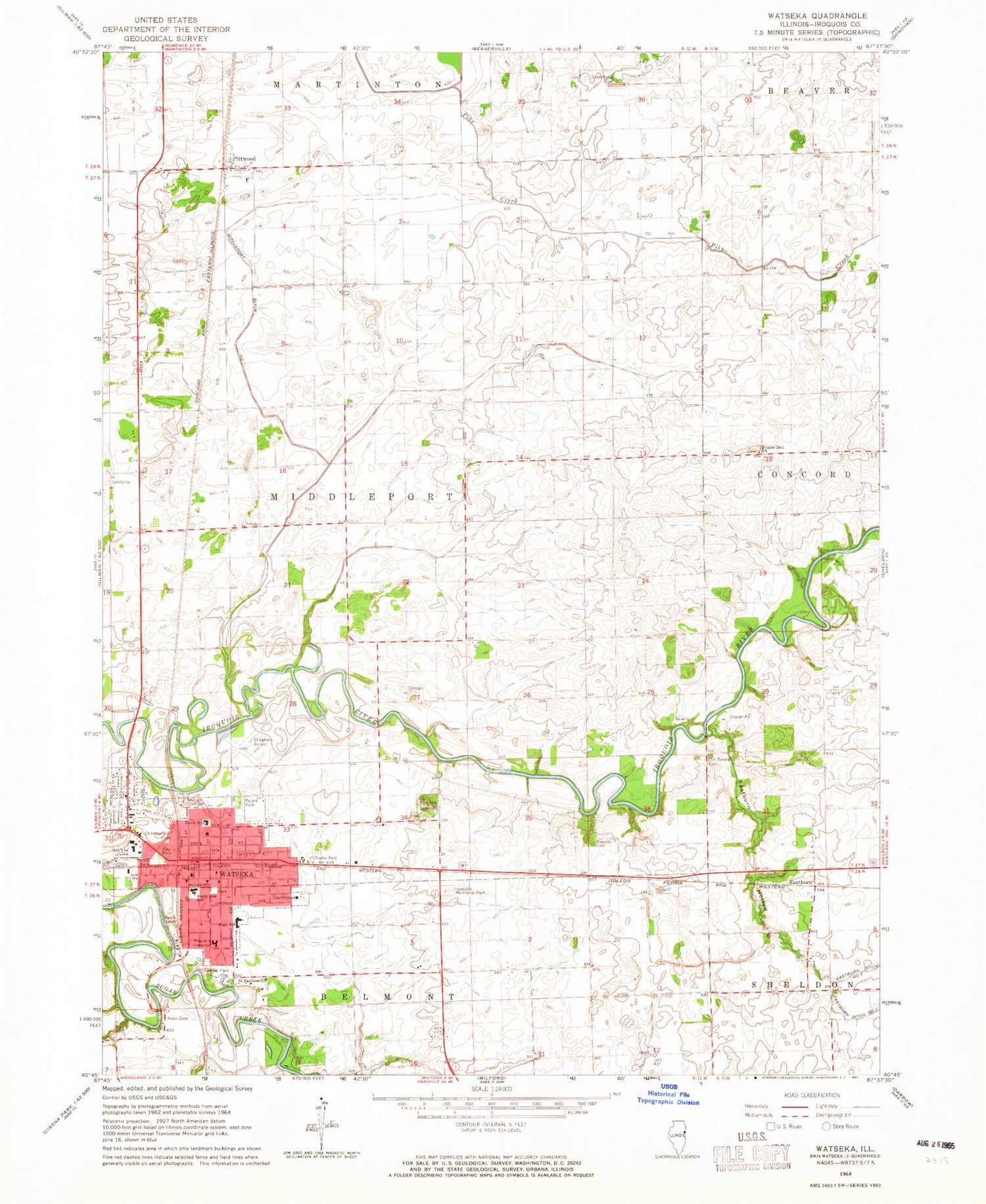
Classic USGS Watseka Illinois 7.5'x7.5' Topo Map
Couldn't load pickup availability
Historical USGS topographic quad map of Watseka in the state of Illinois. Map scale may vary for some years, but is generally around 1:24,000. Print size is approximately 24" x 27"
This quadrangle is in the following counties: Iroquois.
The map contains contour lines, roads, rivers, towns, and lakes. Printed on high-quality waterproof paper with UV fade-resistant inks, and shipped rolled.
Contains the following named places: Bonnies Prairie Nature Preserve, Bossong Farms, Center School, Chamberlain Cemetery, Cissna School, City of Watseka, Eastburn, Eastburn Hollow, Elgin School, Forest Park, Freedom Hill Farms, Freedville, Grand Army of the Republic Cemetery, Greentown Cemetery, Greenview Farm, Hustedt Farms, Iroqouis County Historical Museum, Iroquois County Courthouse, Iroquois County Farm, Iroquois County Jail, Iroquois County Sheriff's Office, Iroquois Memorial Hospital, Iroquois Memorial Hospital Ambulance, Iroquois Memorial Park, Kay Park, Keen Cemetery, Leatherman School, Legion Park, Middleport Ditch Number 1, Mount Taber School, Nettie Davis Elementary School, New Salem School, Oak Hill Cemetery, Old Texas Cemetery, Orr Farms, Peters Park, Pierce School, Pittwood, Pleasant Grove School, Prairie Dell Church, Prarie Dell Cemetery, Rivers Edge Farm, Roberts Cemetery, Saint Paulinus Church, Sand Ridge School, Songwood Inn Airport, South Side School, Township of Middleport, Victory School, Warrick School, Watseka, Watseka City Hall, Watseka High School, Watseka Police Department, Watseka Post Office, Watseka Public Library, Watseka Volunteer Fire Department, West Side School, West Union School, Wielert Farm, ZIP Code: 60970


