MyTopo
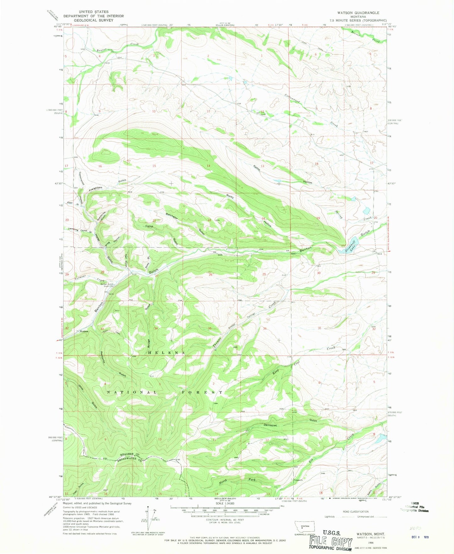
Classic USGS Watson Montana 7.5'x7.5' Topo Map
Couldn't load pickup availability
Historical USGS topographic quad map of Watson in the state of Montana. Map scale may vary for some years, but is generally around 1:24,000. Print size is approximately 24" x 27"
This quadrangle is in the following counties: Broadwater, Meagher.
The map contains contour lines, roads, rivers, towns, and lakes. Printed on high-quality waterproof paper with UV fade-resistant inks, and shipped rolled.
Contains the following named places: 11N03E28D___01 Well, Batchelor Gulch, Benton Gulch Guard Station, Bridge Gulch, Calf Gulch, Camp Gulch, Cottonwood Hollow, Deer Gulch, Democrat Gulch, Freighters Gulch, Horse Gulch, Kentucky Gulch, Kettle Hollow, Lambing Camp Gulch, North Fork Elk Creek, Preston, Road Gulch, Robin Hood Number 1 Dam, Robin Hood Number 2 Dam, Rocky Hollow, Roger Rader Dam, Scarecrow Gulch, Snag Hollow, Stoyanoff Dam, Stoyanoff Lake, Thomas Creek Mine, Vermont Creek, Vermont Creek Mine, Watson, Watson Post Office, Watson School, Wry Creek


