MyTopo
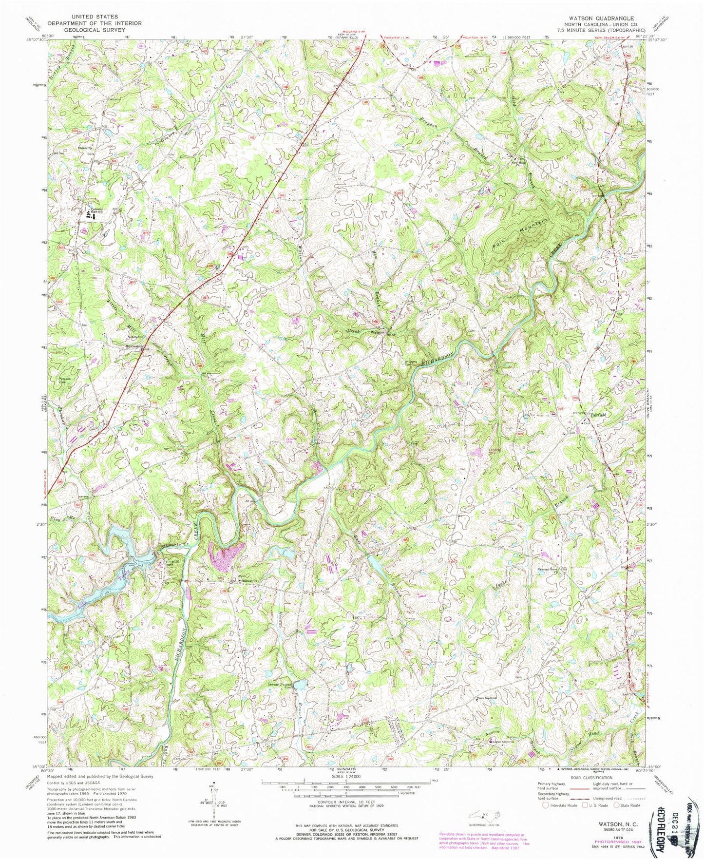
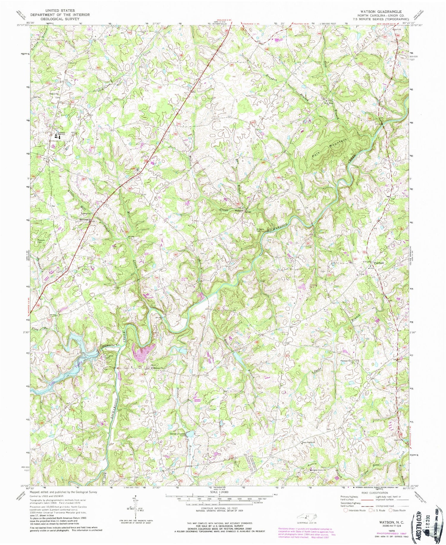
Classic USGS Watson North Carolina 7.5'x7.5' Topo Map
Couldn't load pickup availability
Historical USGS topographic quad map of Watson in the state of North Carolina. Map scale may vary for some years, but is generally around 1:24,000. Print size is approximately 24" x 27"
This quadrangle is in the following counties: Union.
The map contains contour lines, roads, rivers, towns, and lakes. Printed on high-quality waterproof paper with UV fade-resistant inks, and shipped rolled.
Contains the following named places: Arant Airport, Austin Branch, Austin Grove Baptist Church Cemetery, Austin Grove Church, Brandon Branch, Brewer Lake, Brewer Lake Dam, Buck Branch, Bull Branch, Chinkapin Creek, Fairfield, Fairfield Baptist Church Cemetery, Flag Branch, Gold Branch, Haw Branch, Josiah Austin Cemetery, Lake Twitty, Little Mill Creek, Mc Donald Field, Meadow Branch, Midway Baptist Church Cemetery, Midway Church, Mill Creek, Mill Creek Baptist Church Cemetery, Mill Creek Church, New Hope Baptist Church Cemetery, New Hope Church, Piedmont High School, Piney Grove Church, Piney Grove Church Cemetery, Pleasant Grove Church, Pleasant Grove Church Cemetery, Polk Mountain, Presson - Shelby Cemetery, Rays Fork, Shiloh Advent Church Cemetery, Shiloh Church, Spring Branch, Stewarts Creek, Strawn - Treadway Cemetery, Twitty Dam, Watson, Watson Creek, Williams Cemetery, Wingate Community Church of God Cemetery


