MyTopo
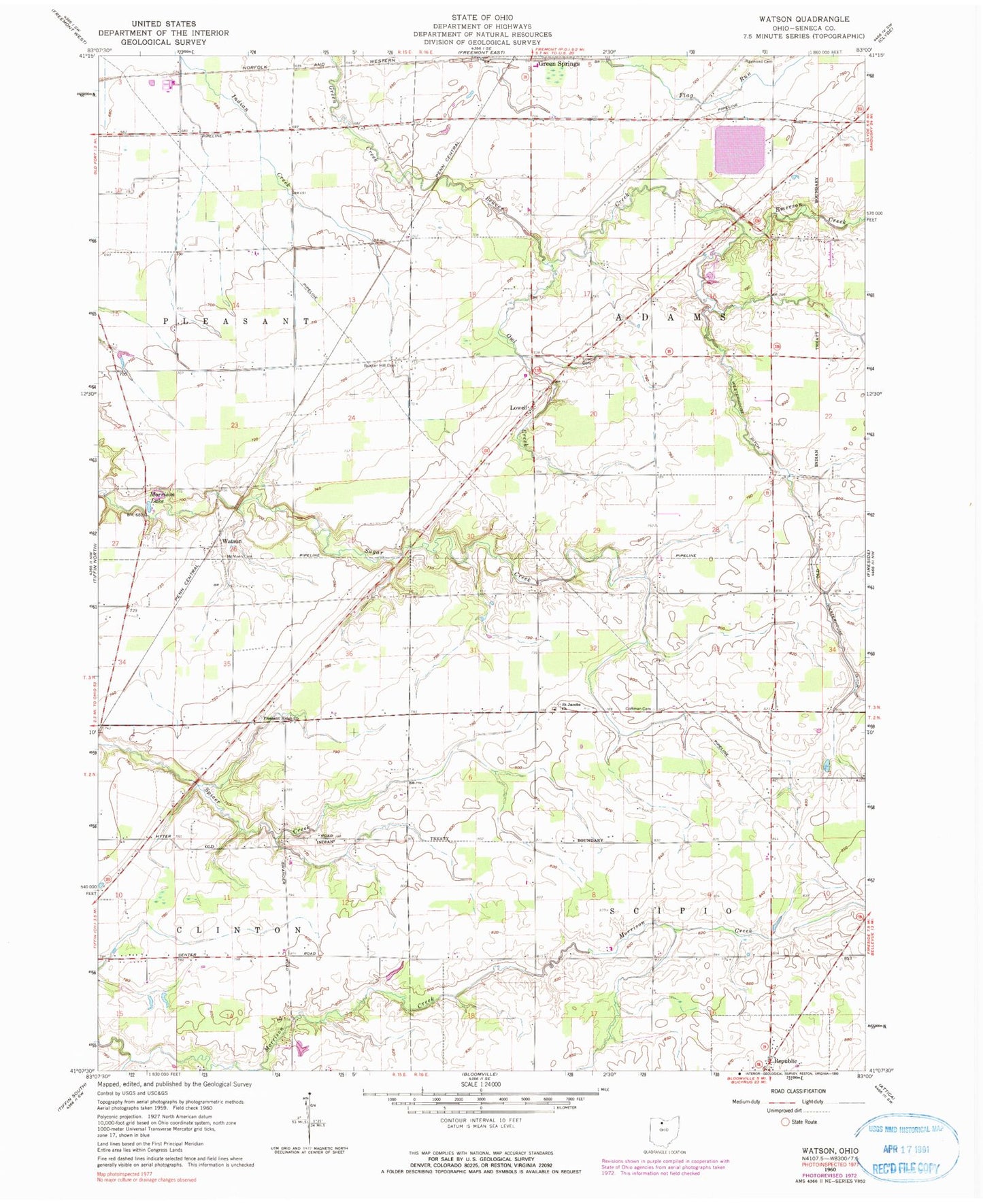
Classic USGS Watson Ohio 7.5'x7.5' Topo Map
Couldn't load pickup availability
Historical USGS topographic quad map of Watson in the state of Ohio. Map scale may vary for some years, but is generally around 1:24,000. Print size is approximately 24" x 27"
This quadrangle is in the following counties: Seneca.
The map contains contour lines, roads, rivers, towns, and lakes. Printed on high-quality waterproof paper with UV fade-resistant inks, and shipped rolled.
Contains the following named places: Beaver Creek, Beaver Creek Upground Reservoir, Beaver Creek Upground Reservoir Dam, Bunker Hill Cemetery, Clinton Heights Golf Course, Clinton Lake Campground, Coffman Cemetery, Egbert Cemetery, Emerson Creek, Lowell, Lowell Cemetery, McMeen Cemetery, Morrison Lake, Owl Creek, Pleasant Ridge Cemetery, Pleasant Ridge Church, Raymond Cemetery, Saint Jacobs Cemetery, Saint Jacobs Church, Township of Adams, Township of Clinton, Township of Scipio, Village of Republic, Watson, Watson Post Office, Weiker Airport, Westerhouse Ditch, ZIP Code: 44836