MyTopo
Classic USGS Wauchula Florida 7.5'x7.5' Topo Map
Couldn't load pickup availability
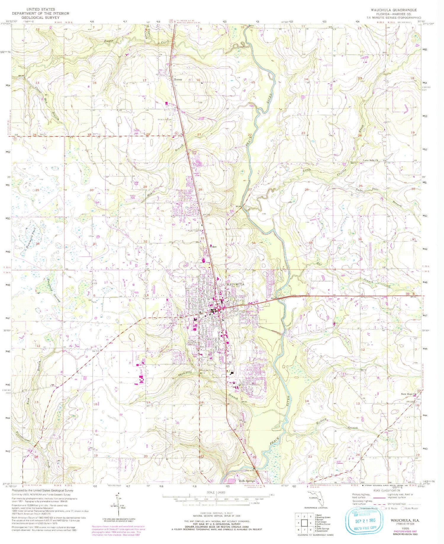
Historical USGS topographic quad map of Wauchula in the state of Florida. Map scale may vary for some years, but is generally around 1:24,000. Print size is approximately 24" x 27"
This quadrangle is in the following counties: Hardee.
The map contains contour lines, roads, rivers, towns, and lakes. Printed on high-quality waterproof paper with UV fade-resistant inks, and shipped rolled.
Contains the following named places: AdventHealth Wauchula Hospital, Boca Pointe Country Club, Church of Christ, Church of God of the First Born, Citrus Valley Mobile Home Estates, City of Wauchula, Coker, Coons Bay Branch, Crystal Lake Mobile Home Park, Doyle E Carlton Bridge, Earnest Shopping Plaza, East Branch Troublesome Creek, Faith Presbyterian Church, Faith Temple Church of God, First Baptist Church, Hammock Pond, Hardee County Community Education Center, Hardee County Emergency Management Office, Hardee County Fire Rescue Department Station 1, Hardee County Sheriff's Office, Hardee Junior High School, Hardee Livestock Market, Hardee Senior High School, Heartland Community Church, Hickory Branch, Hog Branch, House of God Miracle Temple of Wauchula, Lake Area Bible Church, Lake Dale Branch, Lake Dale Church, Little Charlie Creek, Little Payne Creek, Lovett Farms, Max Branch, New Hope Church, New Mount Zion African Methodist Episcopal Church, North Wauchula Elementary School, Payne Creek, Reaphook Swamp, Seven Baskets Farm, Thompson Branch, Torrey, WAUC-AM (Wauchula), Wauchula, Wauchula Cemetery, Wauchula Dairy, Wauchula Elementary School, Wauchula Fire Department, Wauchula Hills, Wauchula Plaza, Wauchula Police Department, Wauchula Post Office, Winter Haven Hospital, ZIP Code: 33873


