MyTopo
Classic USGS Waucoba Canyon California 7.5'x7.5' Topo Map
Couldn't load pickup availability
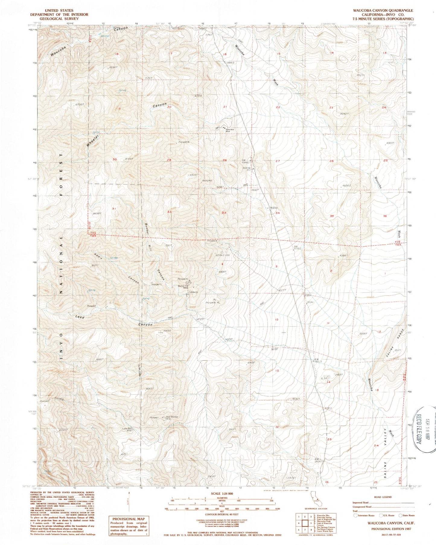
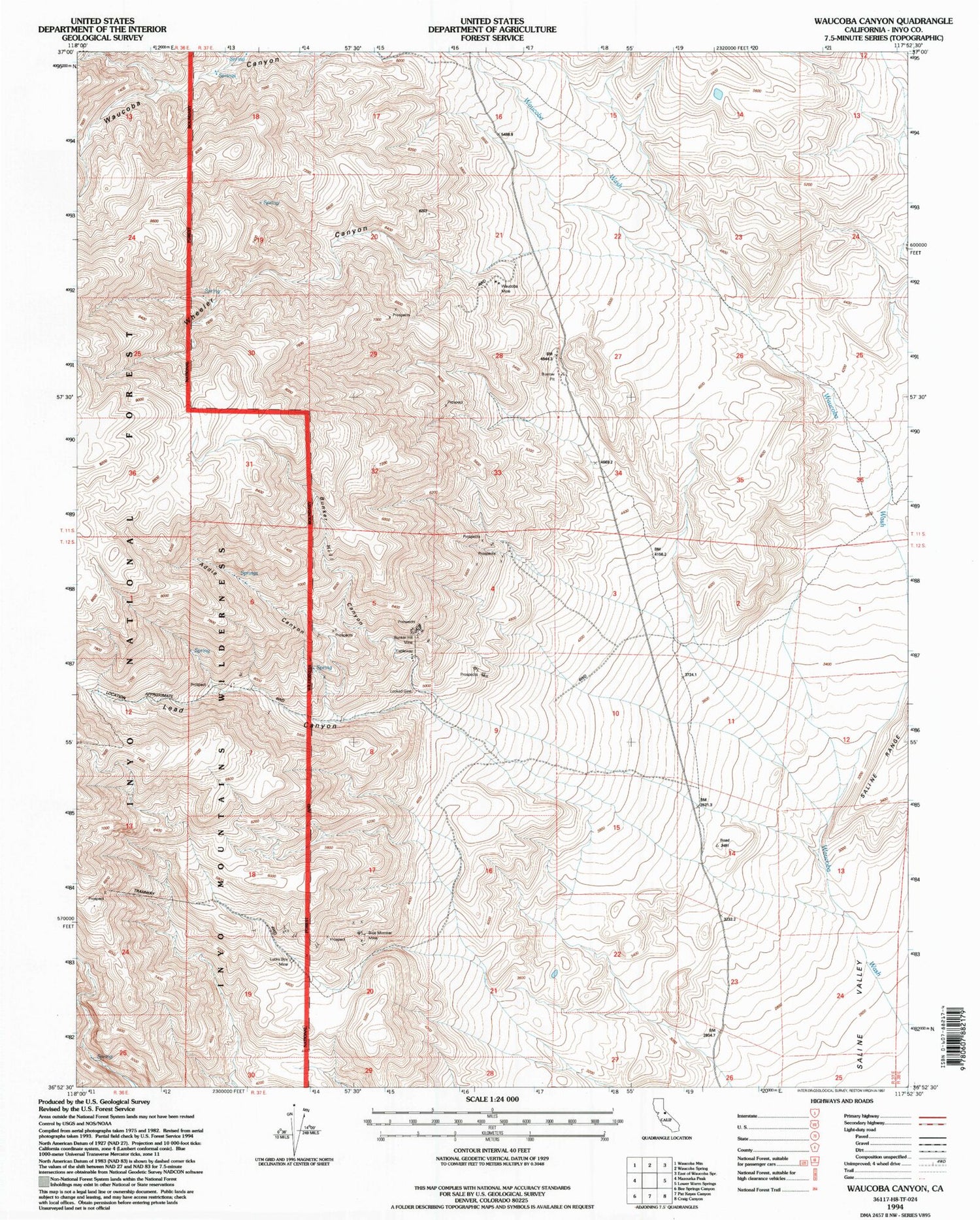
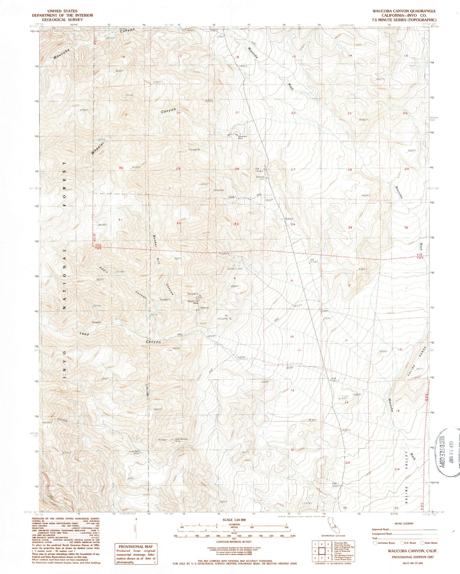
Historical USGS topographic quad map of Waucoba Canyon in the state of California. Map scale may vary for some years, but is generally around 1:24,000. Print size is approximately 24" x 27"
This quadrangle is in the following counties: Inyo.
The map contains contour lines, roads, rivers, towns, and lakes. Printed on high-quality waterproof paper with UV fade-resistant inks, and shipped rolled.
Contains the following named places: Addle Canyon, Blue Monster Mine, Bunker Hill Canyon, Bunker Hill Mine, Custer Mine, Independence Claims, Independence Division, Inyo King Prospect, Inyo Mountains, Inyo Queen Number 1 Mine, Inyo Queen Number 2 Mine, Lead Canyon, Lucky Boy Mine, Lucky Josephine Number 10 Prospect, Mount Inyo, Pick Up Prospect, Valley View Prospect, Waucoba Canyon, Waucoba Mine, Wheeler Canyon