MyTopo
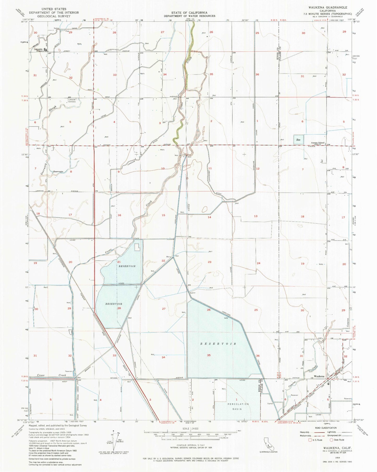
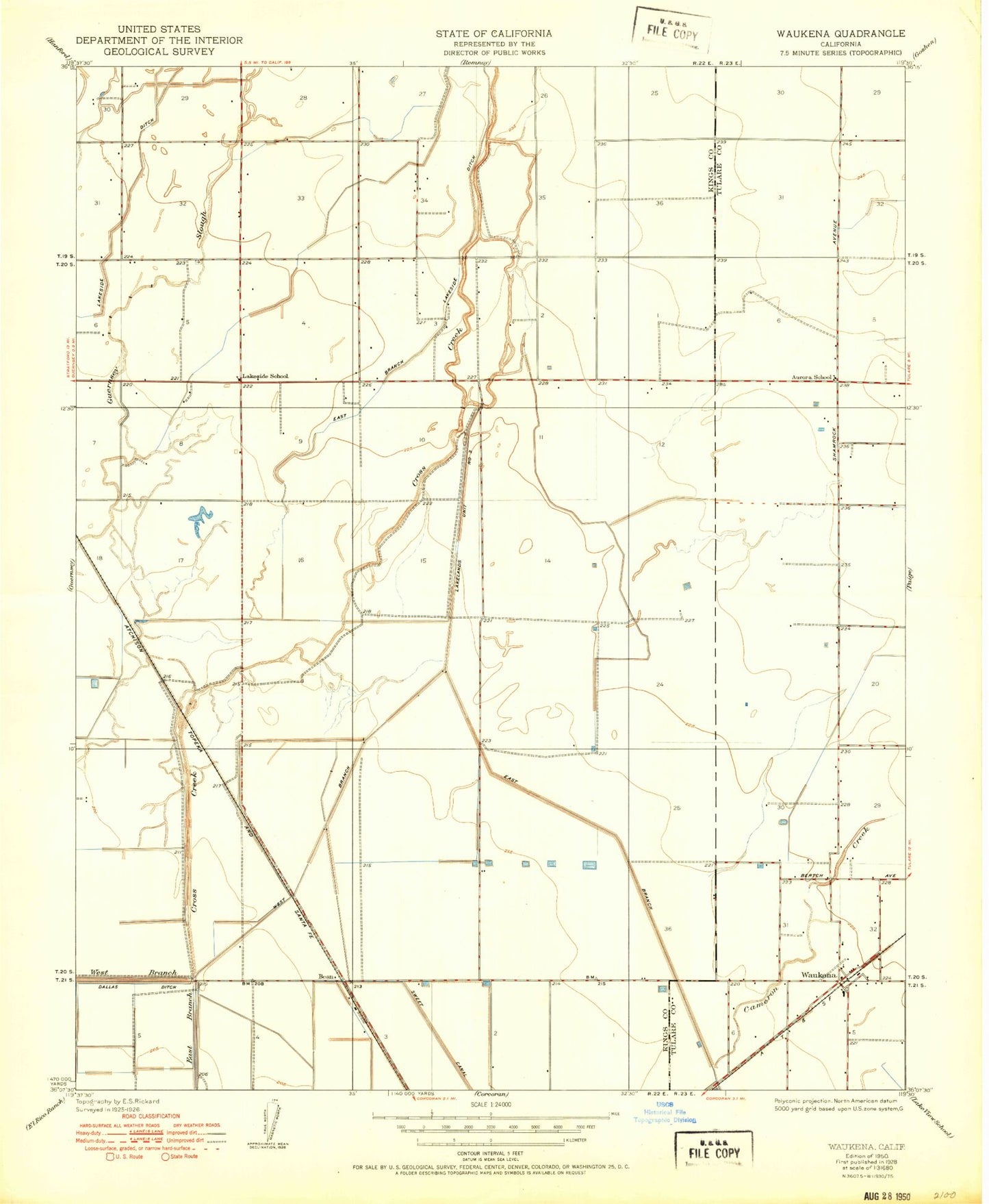
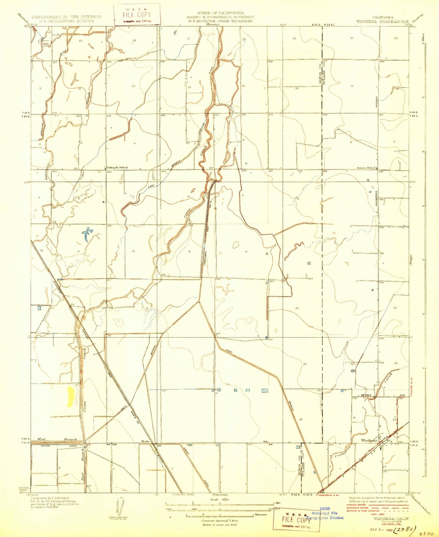
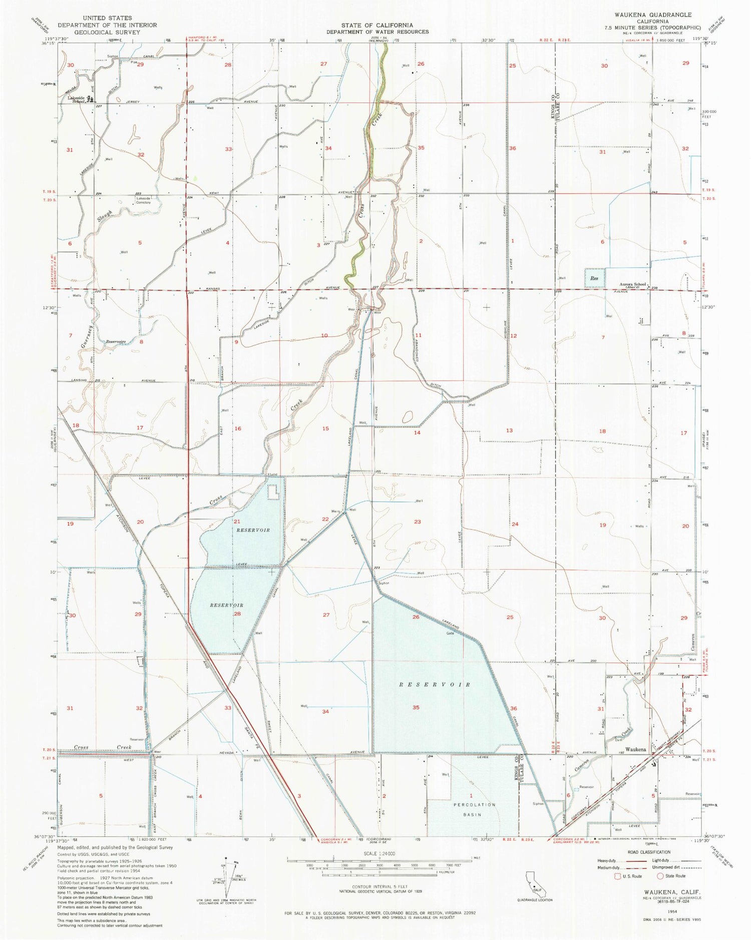
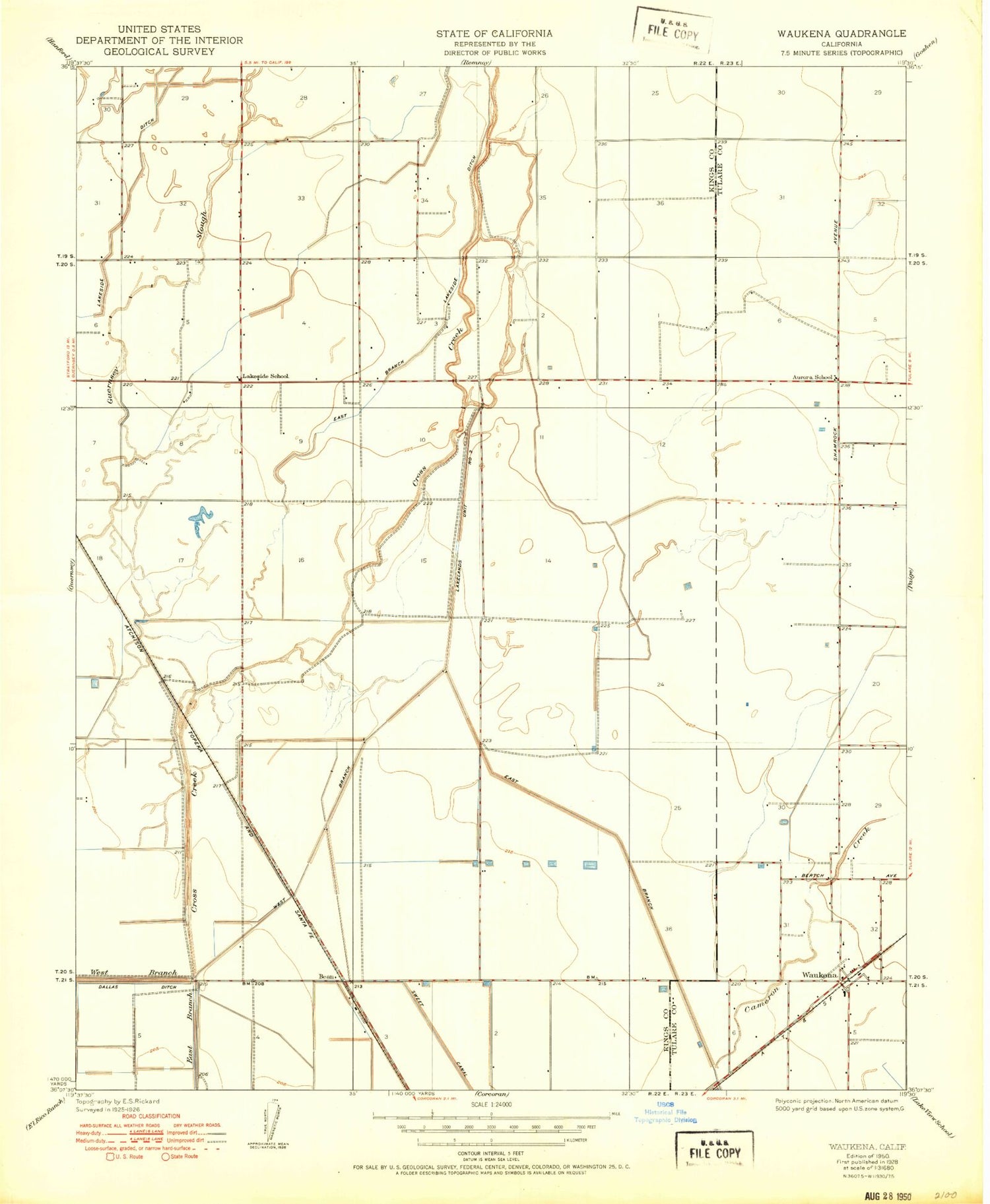
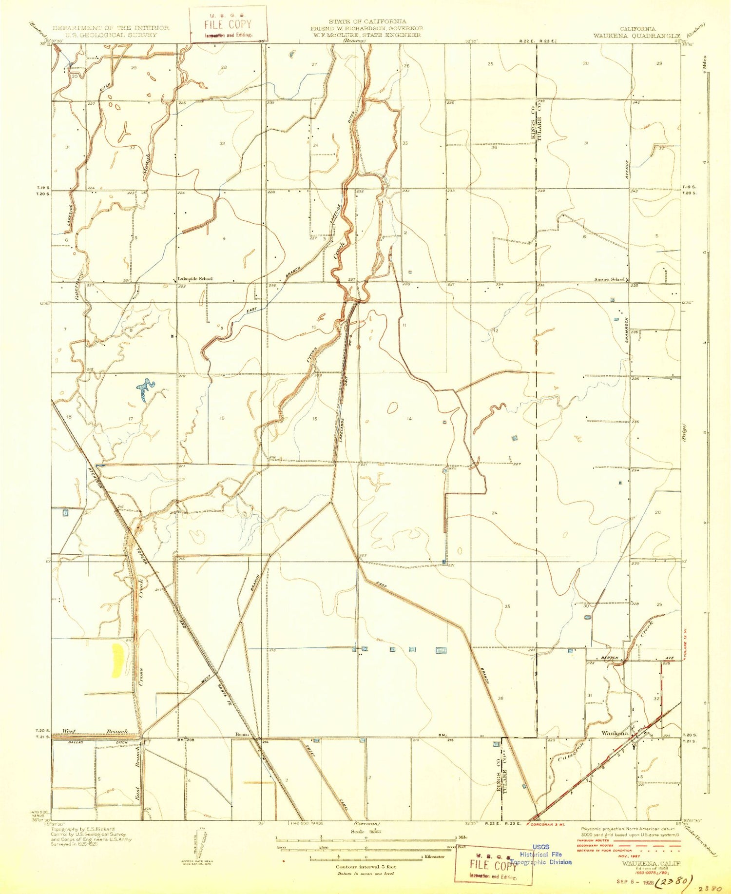
Classic USGS Waukena California 7.5'x7.5' Topo Map
Couldn't load pickup availability
Historical USGS topographic quad map of Waukena in the state of California. Map scale may vary for some years, but is generally around 1:24,000. Print size is approximately 24" x 27"
This quadrangle is in the following counties: Kings, Tulare.
The map contains contour lines, roads, rivers, towns, and lakes. Printed on high-quality waterproof paper with UV fade-resistant inks, and shipped rolled.
Contains the following named places: Adriano Nunes Dairy, Aurora School, Bean, Cadillac Ranch Dairy, Caetano Dairy, Cameron Creek, Cascade Dairy, Diman G Dairy, East Branch Lakeside Ditch, Endeavor Gold Dairy, Felicita Dairy, Hollandia Farms North Dairy, Kansas Holstein Dairy, Lakeside Cemetery, Lakeside Elementary School, M F Gomes Dairy, Mattos Brothers Dairy, Phil Vannette Dairy, River Ranch, River Ranch Dairy, Tulare County Fire Department Battalion 1 Waukena Fire Station 24, Valley View Farms Dairy, Waukena, Waukena Census Designated Place, Waukena Joint Union Elementary School, West Branch Lakeland Canal, Westview Dairy, Wreden Ranch Dairy
