MyTopo
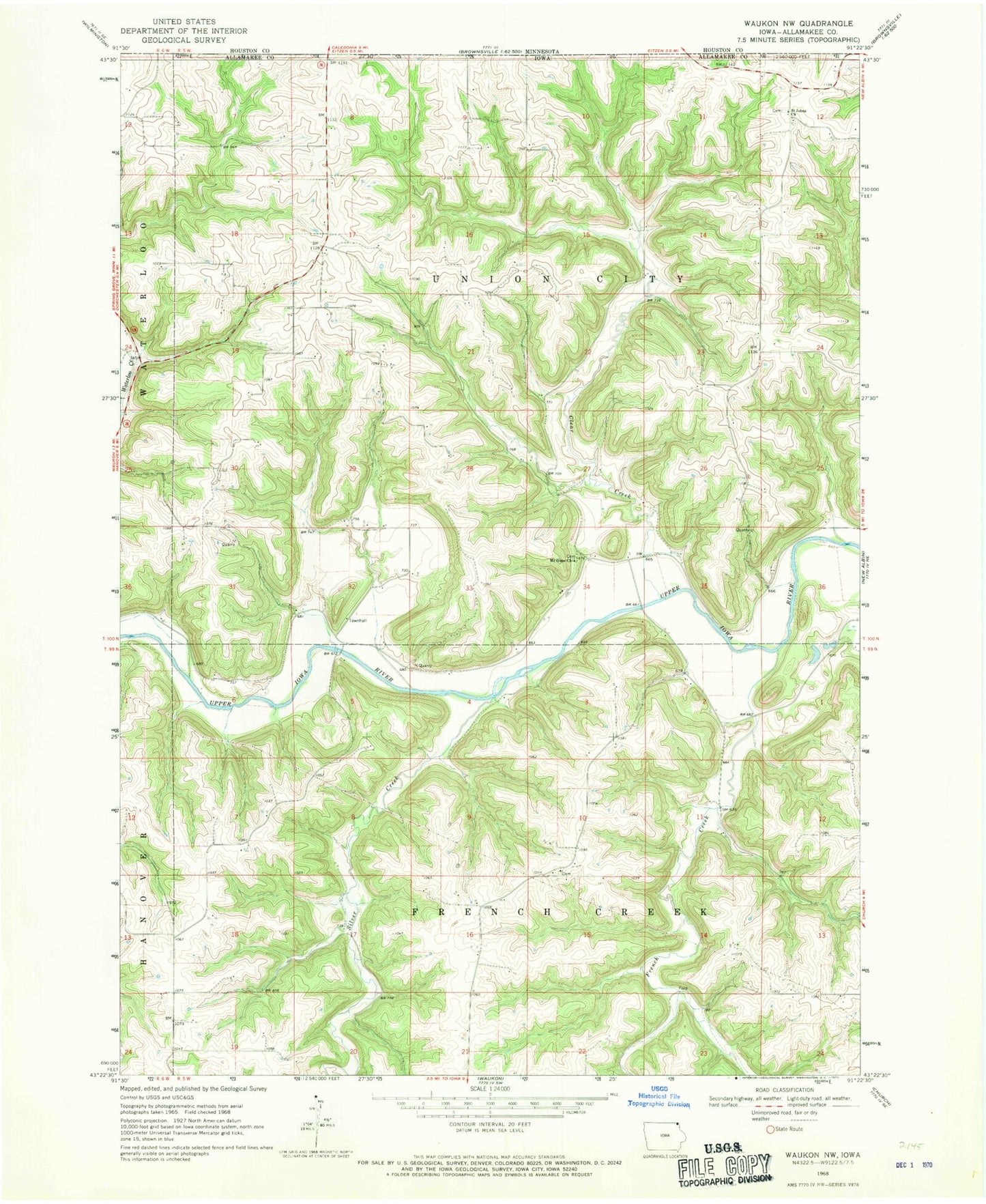
Classic USGS Waukon NW Iowa 7.5'x7.5' Topo Map
Couldn't load pickup availability
Historical USGS topographic quad map of Waukon NW in the state of Iowa. Map scale may vary for some years, but is generally around 1:24,000. Print size is approximately 24" x 27"
This quadrangle is in the following counties: Allamakee.
The map contains contour lines, roads, rivers, towns, and lakes. Printed on high-quality waterproof paper with UV fade-resistant inks, and shipped rolled.
Contains the following named places: Clear Creek, Clear Creek Post Office, Clear Creek Wildlife Management Area, English Bench Cemetery, French Creek, French Creek Methodist Cemetery, French Creek Post Office, French Creek Wildlife Management Area, Mount Hope Cemetery, Mount Hope Church, Rex Post Office, Saint Johns Church, Silver Creek, Township of French Creek, Township of Union City, Upper Iowa Canoe Access, Upper Iowa River Bridge, Wheatland Cemetery