MyTopo
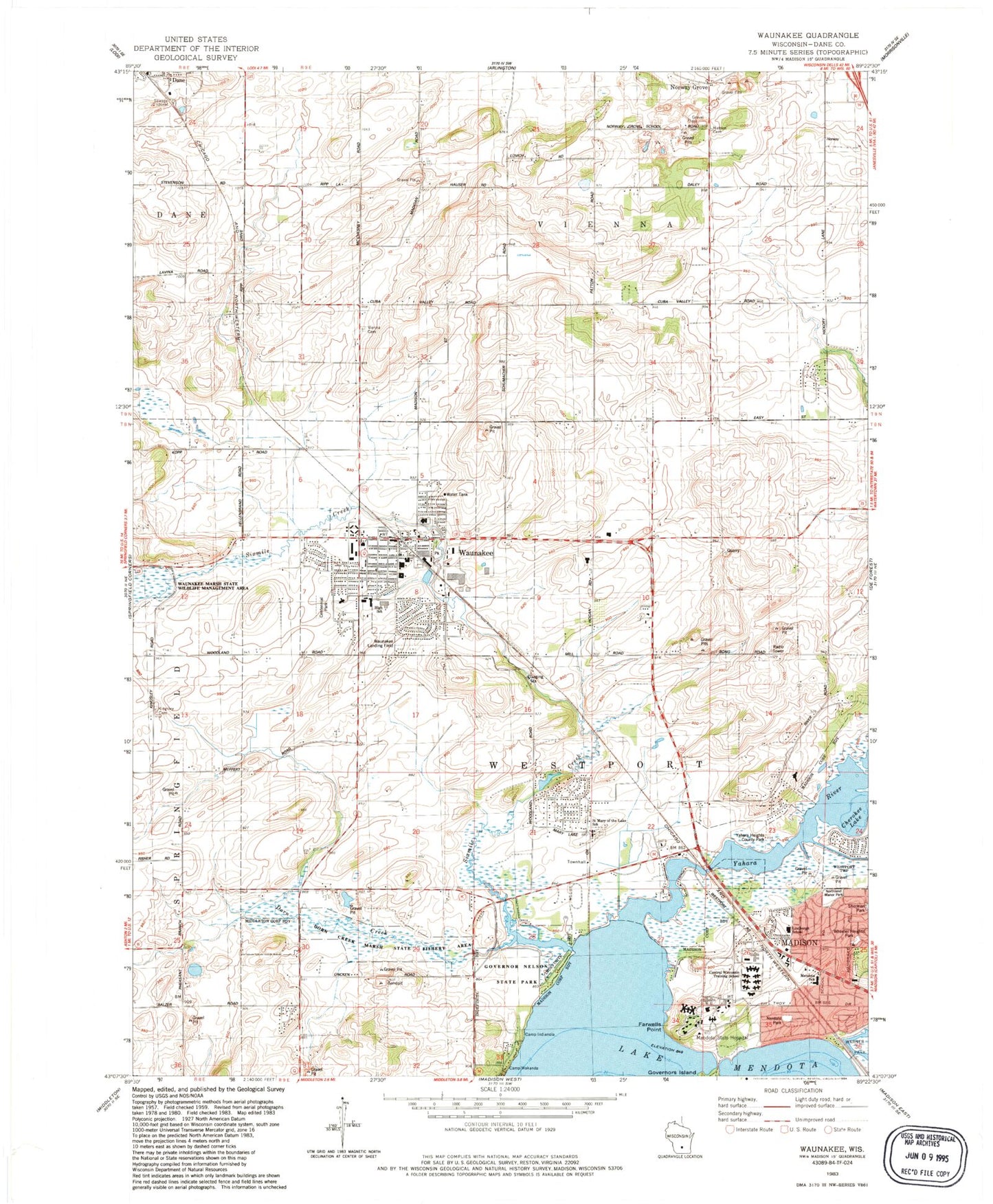
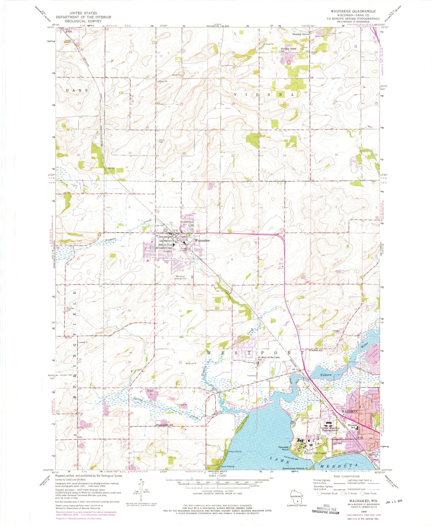
Classic USGS Waunakee Wisconsin 7.5'x7.5' Topo Map
Couldn't load pickup availability
Historical USGS topographic quad map of Waunakee in the state of Wisconsin. Map scale may vary for some years, but is generally around 1:24,000. Print size is approximately 24" x 27"
This quadrangle is in the following counties: Dane.
The map contains contour lines, roads, rivers, towns, and lakes. Printed on high-quality waterproof paper with UV fade-resistant inks, and shipped rolled.
Contains the following named places: Arboretum Elementary School, Blackwoods School, Camp Indianola, Catfish, Catfish School, Centennial Park, Central Wisconsin Center School, Cherokee Lake, Dane Airport, Dorn Creek, Dorn Creek Marsh State Fishery Area, Endres Quarry, Fabrita Orchard, Farwells Point, First Presbyterian Church, Governor Nelson State Park, Heritage Elementary School, Kingsley Cemetery, Kingsley Corners, Lakeview Lutheran Cemetery, Lindbergh Elementary School, Madison Country Day School, Maier Farms, Matsen Cemetery, Mendota, Mendota Elementary School, Mendota Mental Health Institute, Mendota Mental Health Institution School, Nerdahl Park, Northland Manor Park, Norway Grove, Norway Grove School, Peace Lutheran Church, Prairie Elementary School, Saint John the Baptist Catholic Church, Saint John the Baptist School, Saint John's Cemetery, Saint Mary of the Lake Catholic Church, Saint Mary of the Lake Cemetery, Saint Mary of the Lake School, Sixmile Creek, Town of Westport, Union Cemetery of Vienna, Village of Dane, Village of Waunakee, Warner Beach, Waunakee, Waunakee Airport, Waunakee Area Emergency Medical Services, Waunakee Community High School, Waunakee Community Middle School, Waunakee Intermediate School, Waunakee Police Department, Waunakee Post Office, Waunakee Volunteer Fire Department Station 1, Westport Drumlin Prairie, Wheeler Heights Park, Yahara Heights County Park, ZIP Code: 53597


