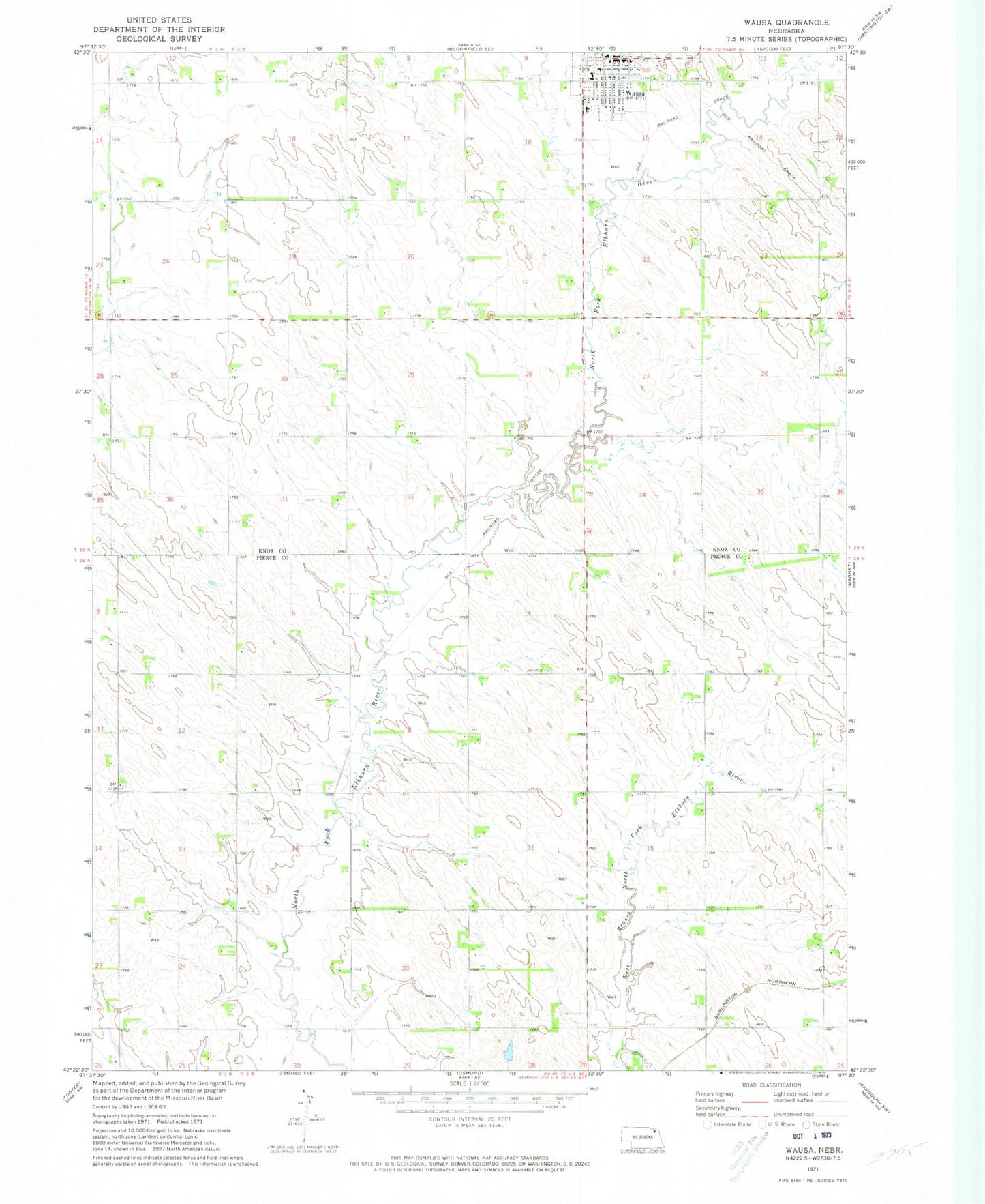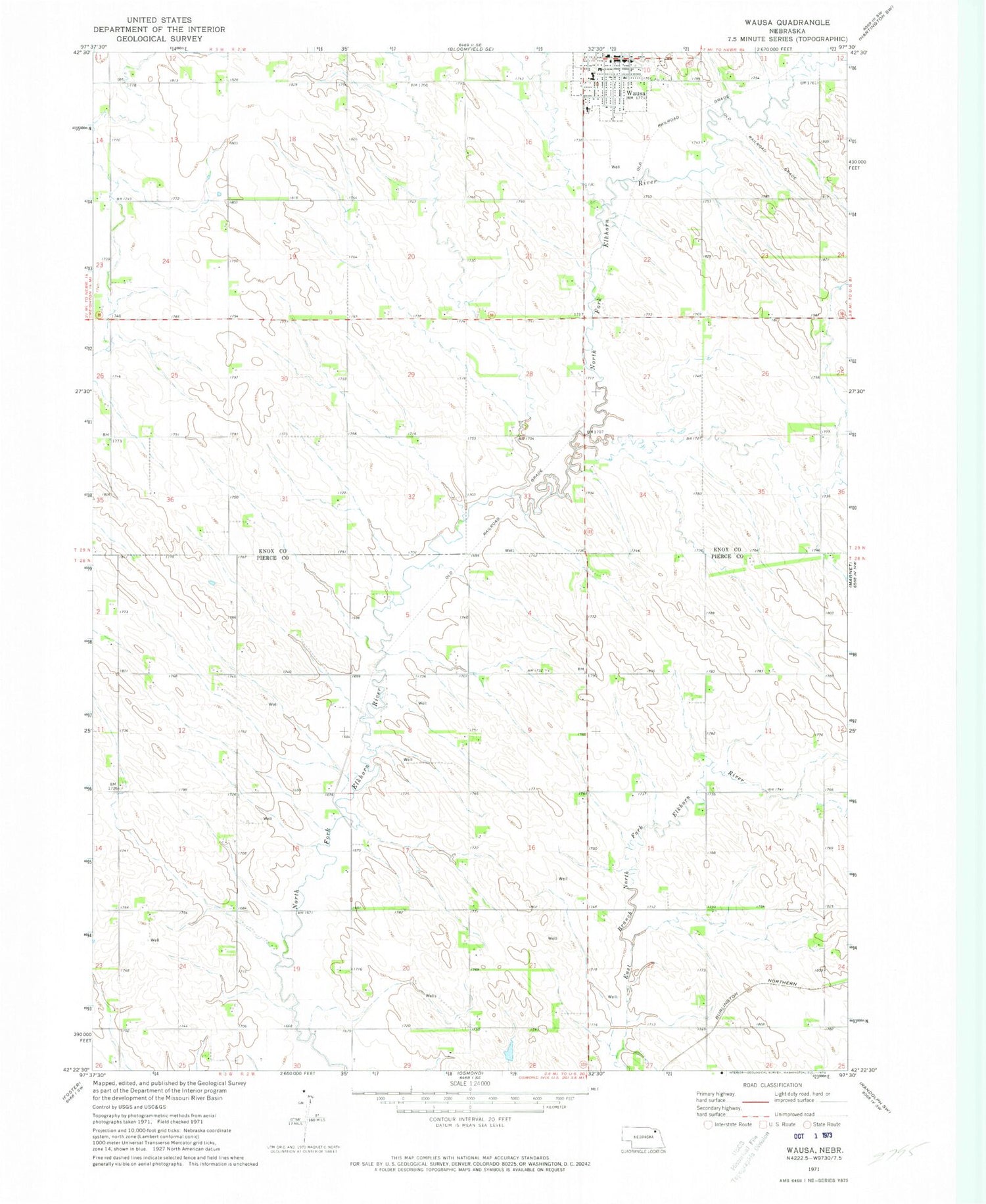
MyTopo
Classic USGS Wausa Nebraska 7.5'x7.5' Topo Map
Couldn't load pickup availability
Historical USGS topographic quad map of Wausa in the state of Nebraska. Map scale may vary for some years, but is generally around 1:24,000. Print size is approximately 24" x 27"
This quadrangle is in the following counties: Knox, Pierce.
The map contains contour lines, roads, rivers, towns, and lakes. Printed on high-quality waterproof paper with UV fade-resistant inks, and shipped rolled.
Contains the following named places: Evangelical Covenant Church, Lincoln Township Library, Plum Grove Election Precinct, Thabor Lutheran Church, Township of Lincoln, United Methodist Church, Village of Wausa, Wausa, Wausa Medical Clinic, Wausa Nursing Center, Wausa Police Department, Wausa Post Office, Wausa Public Schools, Wausa Rural Fire District Ambulance and Rescue Squad