MyTopo
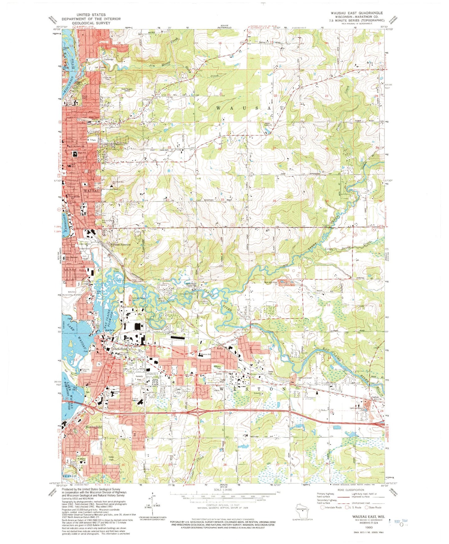
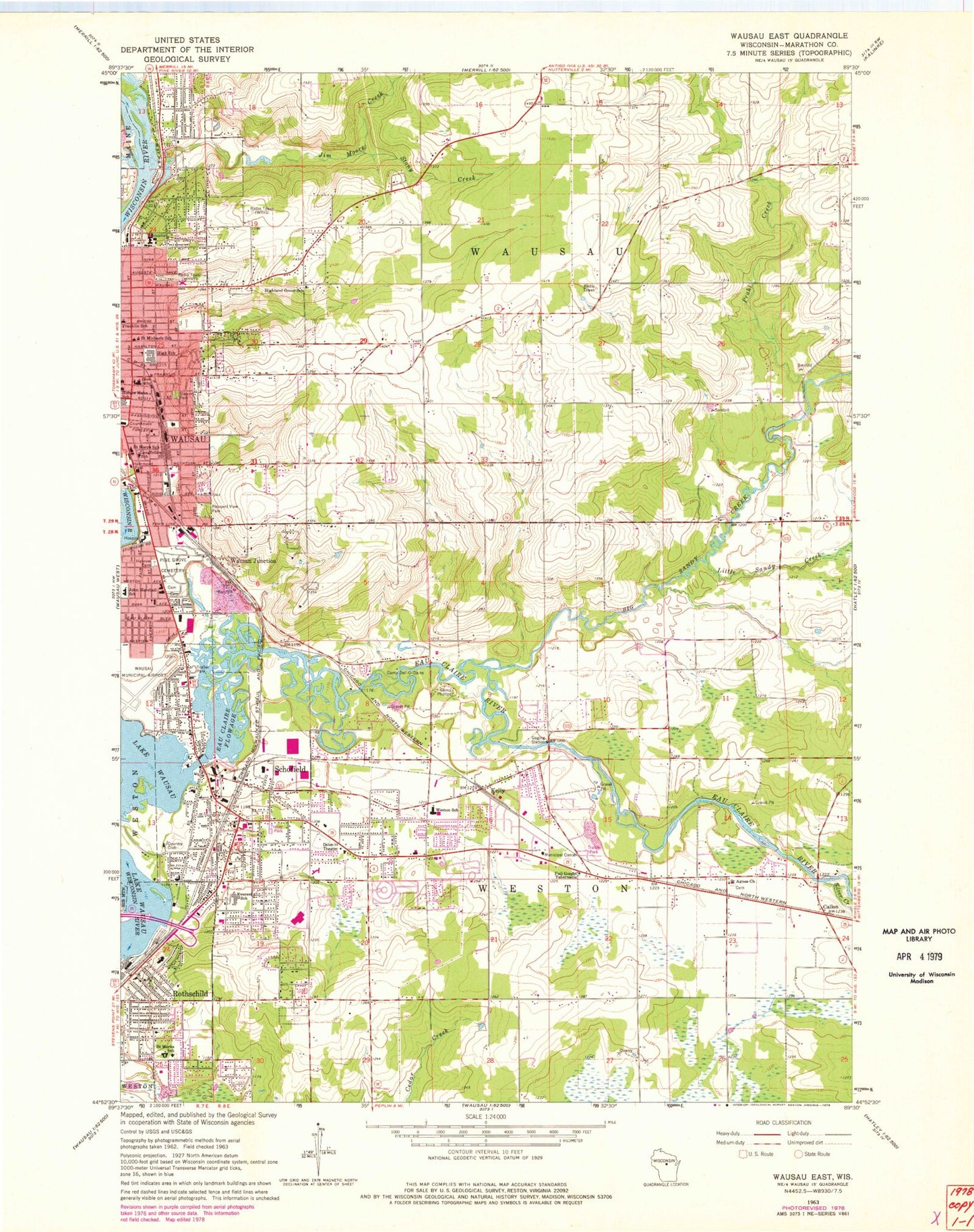
Classic USGS Wausau East Wisconsin 7.5'x7.5' Topo Map
Couldn't load pickup availability
Historical USGS topographic quad map of Wausau East in the state of Wisconsin. Map scale may vary for some years, but is generally around 1:24,000. Print size is approximately 24" x 27"
This quadrangle is in the following counties: Marathon.
The map contains contour lines, roads, rivers, towns, and lakes. Printed on high-quality waterproof paper with UV fade-resistant inks, and shipped rolled.
Contains the following named places: Andrew Warren Historic District, Bethany Baptist Church, Big Sandy Creek, Brooks and Ross Dam, Burger Farms, C B Bird House, C F Dunbar House, C H Wegner House, Callon, Camp Dell-O-Claire, Camp Phillips, Child Evangelism Fellowship Church, Christ Lutheran Church, Christian Assembly Church, Christian Life Fellowship Church, Church of Christ, City of Schofield, Clover Belt School, Covenant Community Presbyterian Church, D C Everest High School, D C Everest House, D C Everest Junior High School, D C Everest Middle School, Darley Farms, E K Schuetz House, East Hill, East Hill Foursquare Church, Eau Claire Flowage, Eau Claire River, Ely Wright House, Everest Metro Police Department, Faith Baptist Church, Fenhaus Dairy Farms, First Universalist Unitarian Church, Forest Park, Franklin Elementary School, Franklin Hill, Full Gospel Tabernacle, Gaska Park, Good Shepherd Lutheran Church, Grand Avenue Shopping Center, Granville D Jones House, Harvest Baptist Church, Hawthorn Hills Elementary School, Hawthorne School, Henry Miller House, Highland Grove School, Highland United Methodist Church, Hiram C Stewart House, Horace Mann Middle School, Horace Mann School, Immanuel Lutheran Church, Jim Moore Creek, John Marshall Elementary School, Kelly, Kennedy Park, Leigh Yawkey Woodson Art Museum, Little Sandy Creek, Longfellow Elementary School, Lower Kelly School, Marathon County Courthouse, Marathon County Jail, Marathon County Public Library Rothschild Branch, Marathon County Sheriff's Department, Ministry Saint Clare's Hospital, Mount Calvary Lutheran Church, Mount Olive Lutheran Church, Mountain Bay Elementary School, Newman Catholic School at Saint Michael, Northland Lutheran High School, Paquette Greenhouse, Peace United Church of Christ, Pine Grove Cemetery, Pleasant View Park, Prahl Creek, Redeemer Evangelical Lutheran Church, Rothschild, Rothschild Elementary School, Rothschild Fire Department, Rothschild Police Department, Rothschild Post Office, Saint Agnes Catholic Church, Saint Joseph's Cemetery, Saint Mark Catholic Church, Saint Marks Grade School, Saint Marys Catholic Church, Saint Marys Hospital, Saint Marys School, Saint Michael Cemetery, Saint Michaels Catholic Church, Saint Peter Evangelical Lutheran Church, Saint Peter Lutheran School, Saint Stephen Lutheran Church, Saint Therese Catholic Church, Saint Therese School, Salem Evangelical Lutheran Church, Sandy Beach County Park, Schofield, Schofield Elementary School, Schofield Fire Department, Schofield Post Office, Silver Creek, South Area Fire and Emergency Response Station 2, State College of Beauty Culture, Stewart Park, Stony Creek, Sylvan Hill Park, Thom Field, Town Line School, Town of Wausau, Town of Weston, Village of Rothschild, Village of Weston, Wausau Area Montessori Charter School, Wausau Bible Church, Wausau Depot, Wausau East High School, Wausau Fire Department, Wausau Fire Department Station 3, Wausau Hebrew Cemetery, Wausau Junction, Wausau Memorial Hospital, Wausau Police Department, Wausau Township Volunteer Fire Department, Wausau United Pentecostal Church, WCLQ-FM (Wausau), WDEZ-FM (Wausau), WESD-FM (Schofield), Weston, Weston Elementary School, Weston School, Williams Park, WXCO-AM (Wausau), Zion Evangelical Lutheran Church, Zion Lutheran School, ZIP Code: 54476


