MyTopo
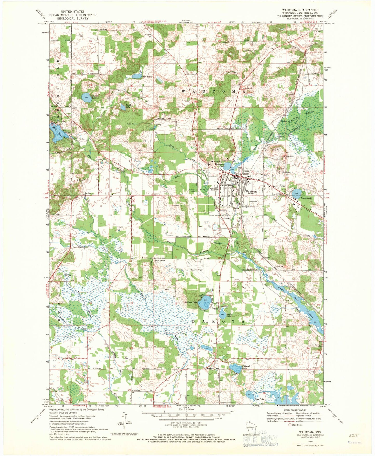
Classic USGS Wautoma Wisconsin 7.5'x7.5' Topo Map
Couldn't load pickup availability
Historical USGS topographic quad map of Wautoma in the state of Wisconsin. Map scale may vary for some years, but is generally around 1:24,000. Print size is approximately 24" x 27"
This quadrangle is in the following counties: Waushara.
The map contains contour lines, roads, rivers, towns, and lakes. Printed on high-quality waterproof paper with UV fade-resistant inks, and shipped rolled.
Contains the following named places: Alan Wilcox Flowage 2, Bass Lake, Bass Lake Fen State Natural Area, Bird Creek, Blader School, Bowers Creek, Bughs Lake, Calvary Cemetery, City of Wautoma, East Branch Little Pine Creek, Faith Christian Academy, Fox Valley Technical College Wautoma Regional Center, Hope Lutheran Cemetery, Lower White River Pond 83, Lunch Creek Wetlands State Natural Area, Maple Grove Cemetery, Meilke Lake, Mud Lake, North Dakota Cemetery, Parkside School, Pickerel Lake, Progressive School, Raymond Church, Riverview Elementary School, Round Lake, Soules Creek, Tamarack School, Town of Dakota, Town of Wautoma, Turtle Lake, Upper White River Dam, Waushara County Emergency Medical Services Wautoma Division, Waushara County Jail, Waushara County Sheriff's Office, Waushara County Waterfowl Production Area, Wautoma, Wautoma Area Fire Department, Wautoma Dam, Wautoma High School, Wautoma Millpond 23, Wautoma Municipal Airport, Wautoma Police Department, Wautoma Pond, Wautoma Post Office, Wautoma Union Cemetery, West Branch Little Pine Creek, West Branch Mill Pond, West Branch White River, Wilcox Lake, Witters Lake, ZIP Code: 54982


