MyTopo
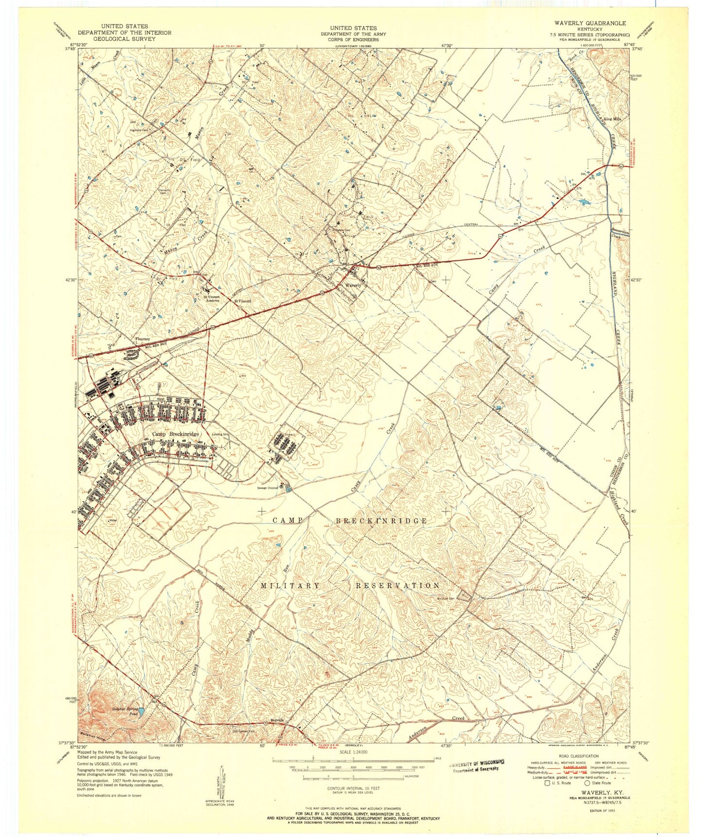
Classic USGS Waverly Kentucky 7.5'x7.5' Topo Map
Couldn't load pickup availability
Historical USGS topographic quad map of Waverly in the state of Kentucky. Map scale may vary for some years, but is generally around 1:24,000. Print size is approximately 24" x 27"
This quadrangle is in the following counties: Henderson, Union.
The map contains contour lines, roads, rivers, towns, and lakes. Printed on high-quality waterproof paper with UV fade-resistant inks, and shipped rolled.
Contains the following named places: Beaverdam Creek, Boxville, Boxville Cemetery, Breckinridge Center, Breckinridge Center Census Designated Place, Breckinridge Job Corps Center, Camp Breckinridge, Camp Creek, Casey Creek, City of Waverly, Flournoy, Highland Cemetery, King Mills, McClure, McClure Cemetery, Morganfield Airport, Muddy Run, Rock Creek, Sacred Heart Church, Saint Peters Cemetery, Saint Peters Church, Saint Vincent, Saint Vincent Academy, Sulphur Spring Pond, Topeka Crossroads, Waverly, Waverly Post Office, Waverly Volunteer Fire Department, Whispering Meadows Volunteer Fire Department, ZIP Code: 42462


