MyTopo
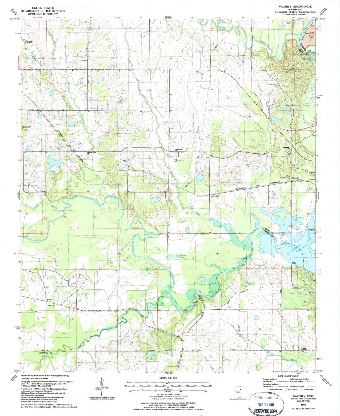
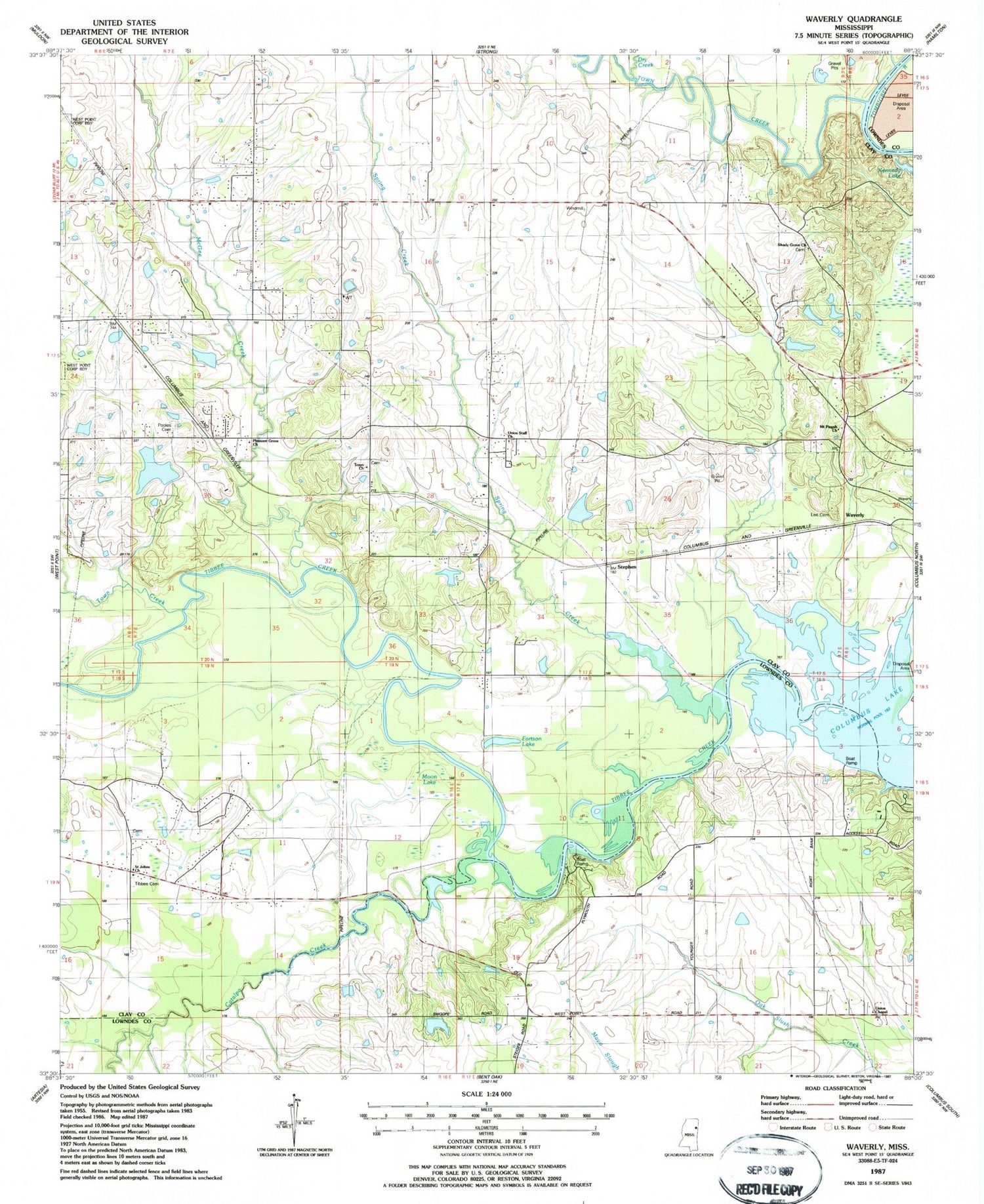
Classic USGS Waverly Mississippi 7.5'x7.5' Topo Map
Couldn't load pickup availability
Historical USGS topographic quad map of Waverly in the state of Mississippi. Map scale may vary for some years, but is generally around 1:24,000. Print size is approximately 24" x 27"
This quadrangle is in the following counties: Clay, Lowndes.
The map contains contour lines, roads, rivers, towns, and lakes. Printed on high-quality waterproof paper with UV fade-resistant inks, and shipped rolled.
Contains the following named places: Burnside Plantation, Catalpa Creek, Clay County Volunteer Fire Department Unit 200, Clay County Volunteer Fire Department Unit 700 Southeast, Clisby, Columbus Lake, Dry Creek, Fortson Lake, Harrell Lake Dam, Hurts Chapel, Kellogg Lake Dam, Kennedy Lake, Kilgo Church, Lee Cemetery, McGee Creek, Mississippi No Name 156 Dam, Mississippi No Name 157 Dam, Mississippi No Name 158 Dam, Moon Lake, Mount Pisgah Waverly Baptist Church, Pitchlynn Cemetery, Plymouth, Plymouth Male and Female Academy, Pooles Baptist Church, Pooles Cemetery, Red Bluff, Rocky Ford, Rocky Ford Mill, Saint Johns Church, Shady Grove Church, Spring Creek, Stephen, Strong Hill School, Stronghill Baptist Church, Supervisor District 2, Tarawa Plantation, Tibbee Cemetery, Town Creek, Town Creek Recreation Area, Troyo Church, Union Chapel, Union Star Missionary Baptist Church, Waverly, Williams Lake Dam, Young Cemetery, Young Chapel


