MyTopo
Classic USGS Waverly New York 7.5'x7.5' Topo Map
Couldn't load pickup availability
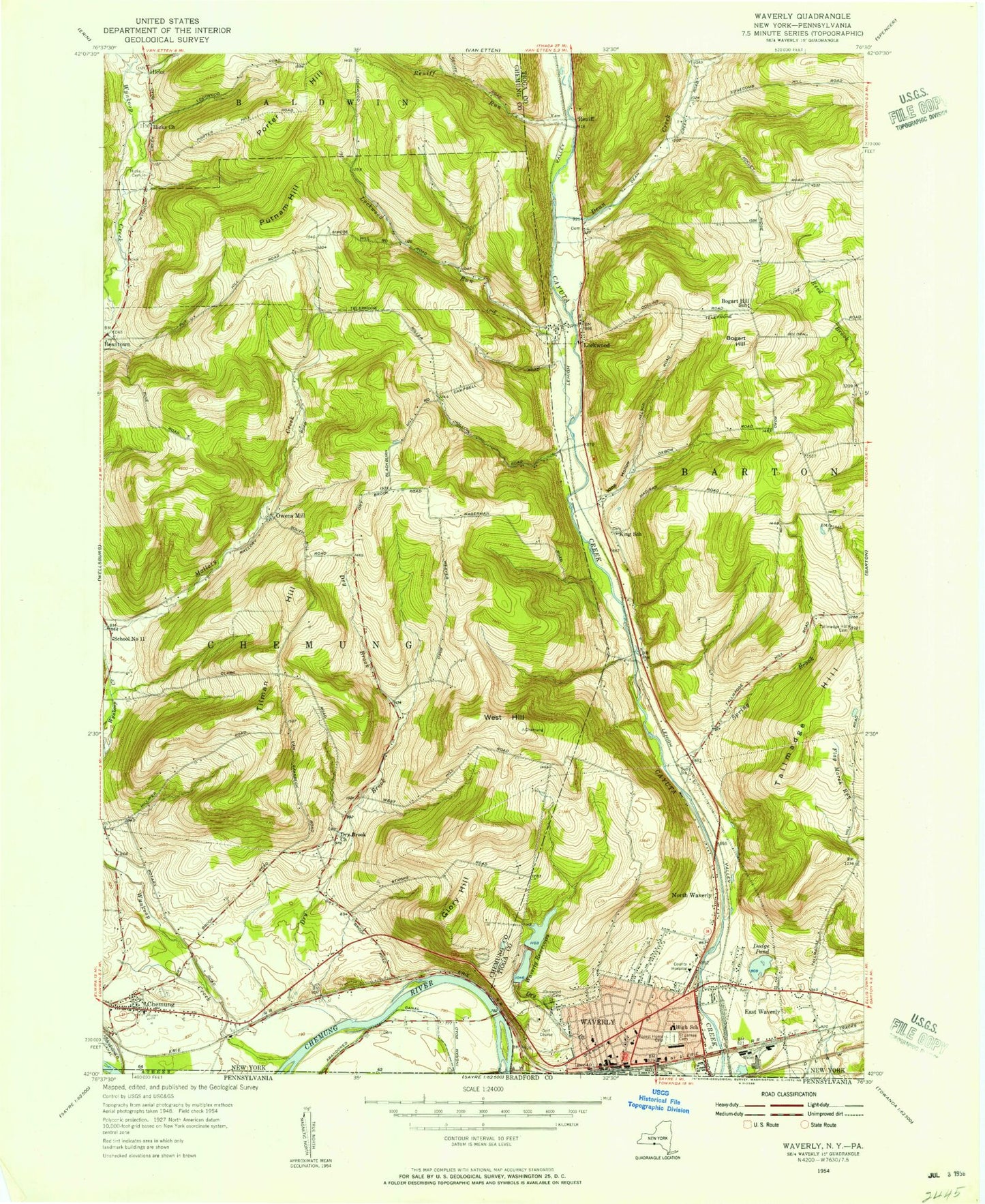
Historical USGS topographic quad map of Waverly in the state of New York. Map scale may vary for some years, but is generally around 1:24,000. Print size is approximately 24" x 27"
This quadrangle is in the following counties: Bradford, Chemung, Tioga.
The map contains contour lines, roads, rivers, towns, and lakes. Printed on high-quality waterproof paper with UV fade-resistant inks, and shipped rolled.
Contains the following named places: Baldwin Volunteer Fire Company Station 2, Barton Gravel Pit, Bogart Hill, Cedar Park Terrace, Chemung, Chemung Cemetery, Chemung Elementary School, Chemung Fire Station, Chemung Golf Course, Chemung Post Office, Chemung United Methodist Church, Christian And Missionary Church, Christian Life Church, Church of the Nazarene, Dean Creek, Dodge Pond, Dry Brook, Dry Brook Church, Drybrook Cemetery, East Waverly, Elm Street Elementary School, Factoryville Cemetery, Faith Southern Baptist Church, First Baptist Church, Forest Home Cemetery, French Cemetery, Gentle Creek Horse Farm, Glenwood Cemetery, Glory Hill, Guthrie Nursing Center, Hicks, Hicks Cemetery, Hicks Church, Ithaca Street School, King Hollow, Lincoln Street Elementary School, Lockwood, Lockwood Cemetery, Lockwood Post Office, Lockwood Run, North Waverly, North Waverly Chapel, Owens Mills, Porter Hill, Price-Simcoe Cemetery, Putnam Hill, Reniff, Reniff Run, Saint James Catholic Church, Saint James Roman Catholic Cemetery, Saint James School, Saint John of the Cross Monastery, Shephard Park, Spring Brook, Tallmadge Hill, Tallmadge Hill Cemetery, The Club at Shepard Hills, Tilman Hill, Town of Chemung, United Methodist Church of Waverly, Village of Waverly, Waverly, Waverly Barton Fire District Station 1, Waverly Free Library, Waverly Memorial Park, Waverly Post Office, Waverly Reservoirs, Waverly Senior High School, Waverly Stadium, WAVR-FM (Waverly), West Hill, Wynkoop Creek, ZIP Codes: 14825, 14859, 14892


