MyTopo
Classic USGS Waverly Wisconsin 7.5'x7.5' Topo Map
Couldn't load pickup availability
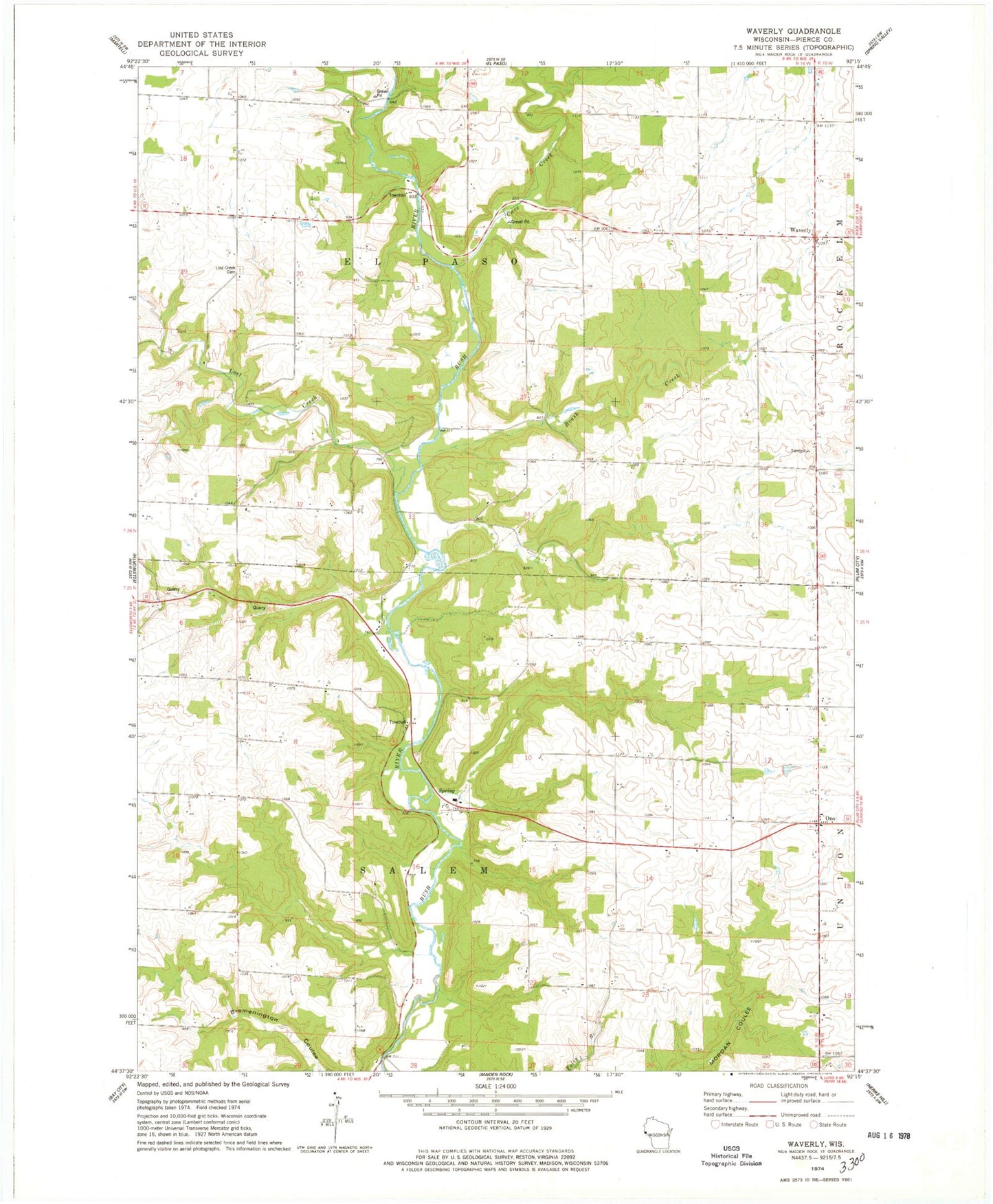
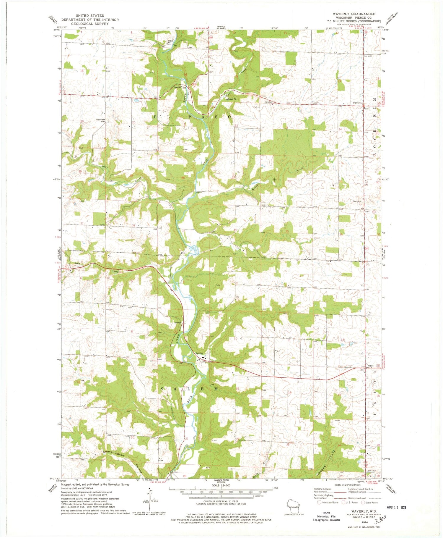
Historical USGS topographic quad map of Waverly in the state of Wisconsin. Map scale may vary for some years, but is generally around 1:24,000. Print size is approximately 24" x 27"
This quadrangle is in the following counties: Pierce.
The map contains contour lines, roads, rivers, towns, and lakes. Printed on high-quality waterproof paper with UV fade-resistant inks, and shipped rolled.
Contains the following named places: Brush Creek, Carpenter School, Cave Creek, Don Borst Quarry, Fischer School, Hines School, Lincoln School, Lost Creek, Lost Creek Cemetery, Lost Creek School, Maple Grove School, Ono, Ono Methodist Cemetery, Ono Methodist Church, Saint Marys Church, Salem School Number 2, Town of El Paso, Town of Salem, Waverly