MyTopo
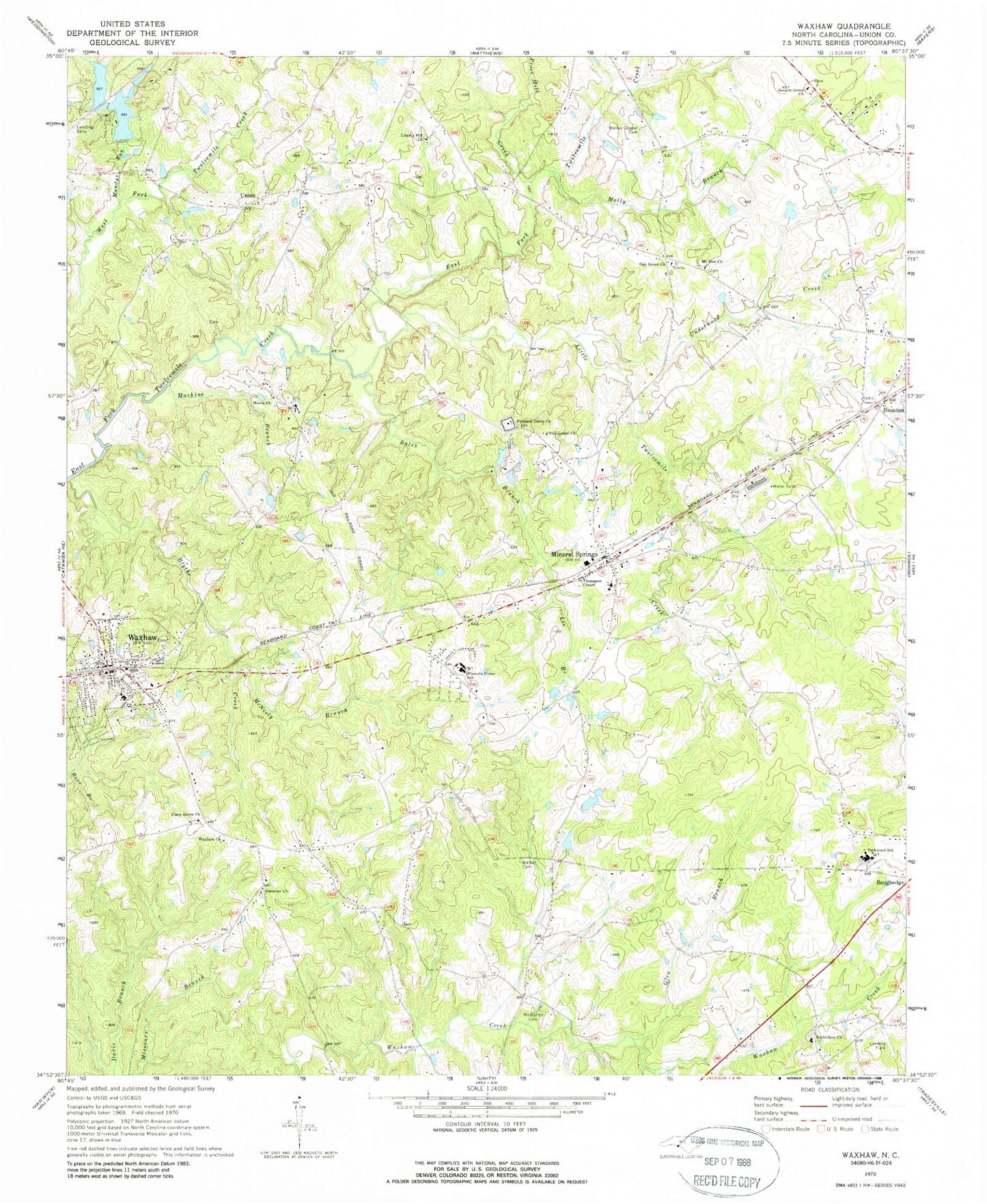
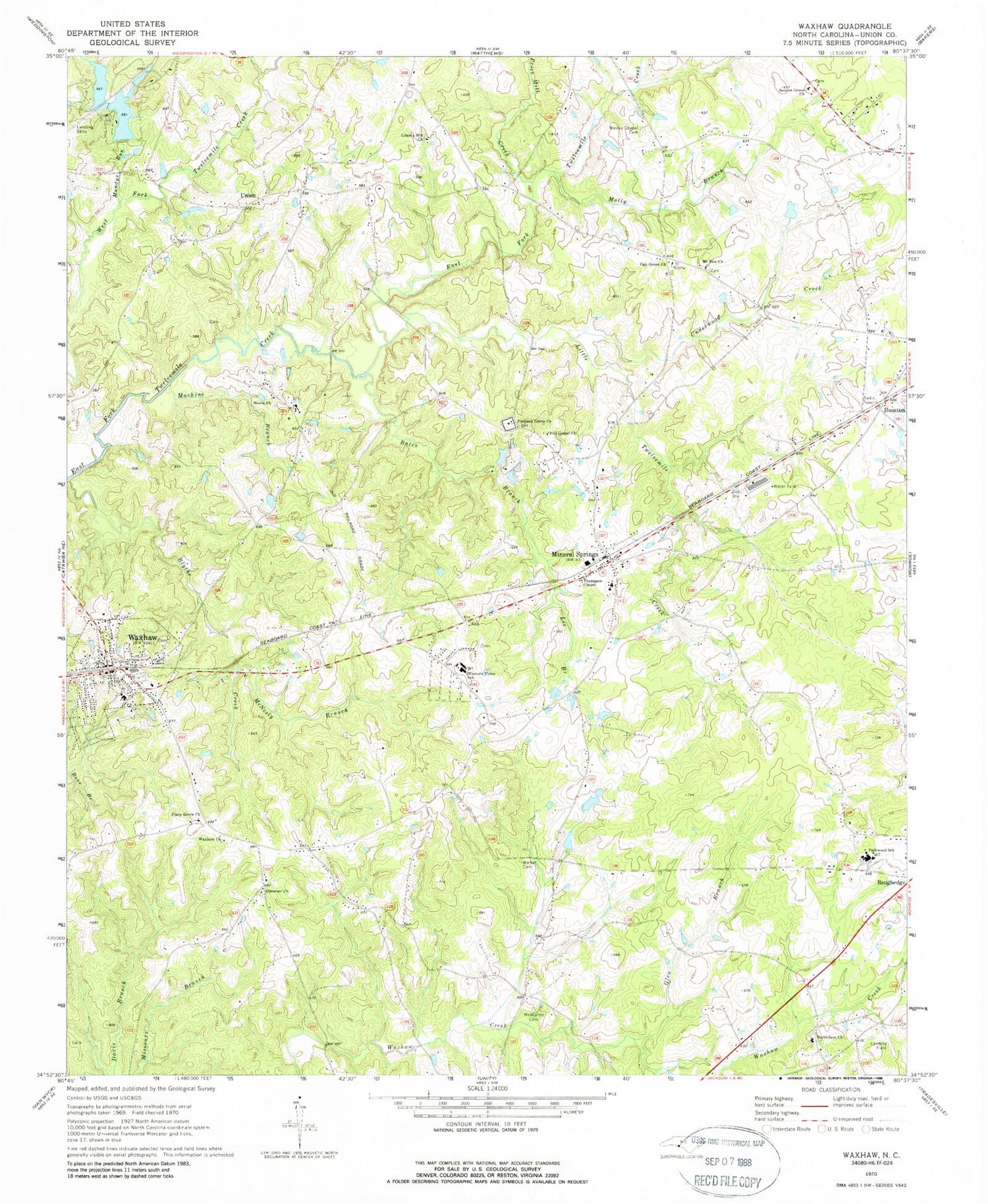
Classic USGS Waxhaw North Carolina 7.5'x7.5' Topo Map
Couldn't load pickup availability
Historical USGS topographic quad map of Waxhaw in the state of North Carolina. Map scale may vary for some years, but is generally around 1:24,000. Print size is approximately 24" x 27"
This quadrangle is in the following counties: Union.
The map contains contour lines, roads, rivers, towns, and lakes. Printed on high-quality waterproof paper with UV fade-resistant inks, and shipped rolled.
Contains the following named places: Aero Plantation Airport, Aero Plantation Lake Dam Number One, Aero Plantation Lake Dam Number Two, Aero Plantation Lake Number One, Aero Plantation Lake Number Two, Bates Branch, Bethlehem Church, Bethlehem Church Cemetery, Blythe Creek, Culvert Branch, Eastside Community Cemetery, Ebenezer Church, Ebenezer Church Cemetery, Efirds Lake, Efirds Lake Dam, Full Gospel Church, Glen Branch, Houston, Howie Church, Lee Branch, Liberty Hill Church, Little Twelvemile Creek, Machine Branch, McNeely Branch, McWorter Cemetery, Mineral Springs, Mineral Springs Post Office, Mineral Springs United Methodist Church Cemetery, Molly Branch, Mount Zion Church, Mount Zion Church Cemetery, Mundys Run, Oak Grove Church, Oak Grove Church Cemetery, Parkwood High School, Piney Grove Church, Piney Grove Church Cemetery, Pleasant Grove Church, Price Mill Creek, Secrest Grove Church, Thompson Chapel, Town of Mineral Springs, Town of Waxhaw, Township of Jackson, Township of Sandy Ridge, Underwood Creek, Union, Union Emergency Medical Services Post 54, Walker Cemetery, Waxhaw, Waxhaw Church, Waxhaw Church Cemetery, Waxhaw City Cemetery, Waxhaw Post Office, Waxhaw Volunteer Fire Department and Rescue Station 18, Wesley Chapel Cemetery, Wesley Chapel Volunteer Fire Department Station 26, Western Union School, ZIP Codes: 28108, 28173


