MyTopo
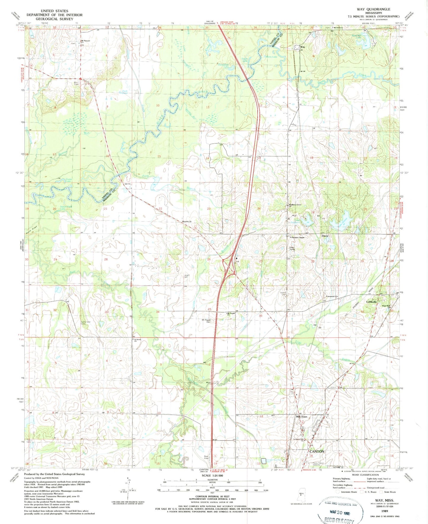
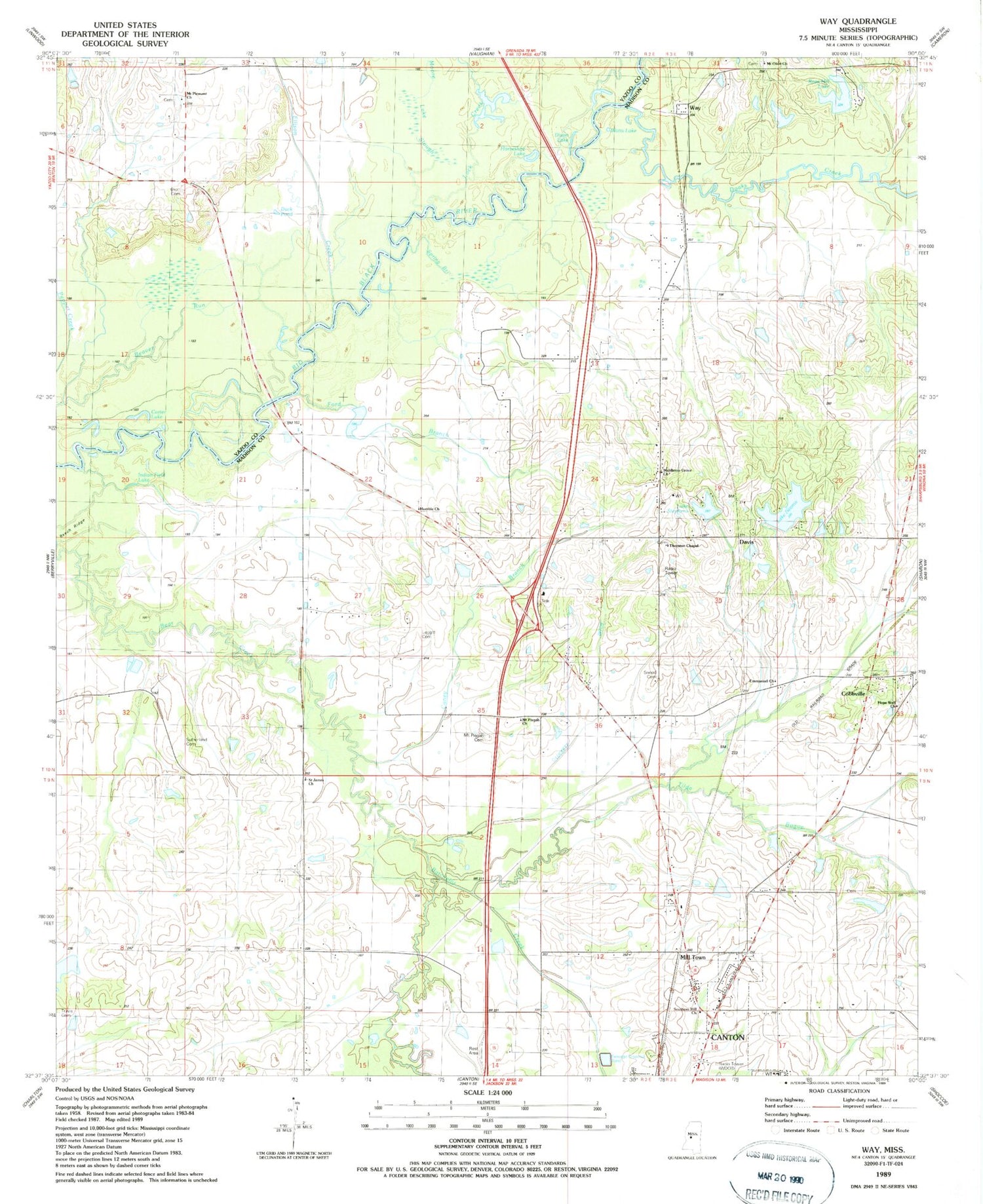
Classic USGS Way Mississippi 7.5'x7.5' Topo Map
Couldn't load pickup availability
Historical USGS topographic quad map of Way in the state of Mississippi. Map scale may vary for some years, but is generally around 1:24,000. Print size is approximately 24" x 27"
This quadrangle is in the following counties: Madison, Yazoo.
The map contains contour lines, roads, rivers, towns, and lakes. Printed on high-quality waterproof paper with UV fade-resistant inks, and shipped rolled.
Contains the following named places: A N Holiday Lake Dam, B H Cooper Lake Dam, Batchelor Creek, Beaver Run, Beech Ridge, Bob Ray Lake Dam, Caney Branch, Carter Lake, Charvers Lake Dam, Clyde Edwards Lake Dam, Cobbville, D C Suther Lake Dam, D P Murphy Lake Dam, Davis, Dixon Lake, Doaks Creek, Duck Pond, Duncan M Gray Center, Ellison Creek, Emmanuel Church, Ford Branch, Goose Pond, Henry Brown Lake Dam, Hope Well Church, Hope Well Church Cemetery, Horseshoe Lake, Humble Church, Humble Jerusalem Missionary Baptist Church Cemetery, Indian Field Lake, Knott Cemetery, Lake Neoma, Lake Neoma Dam, Lake Stephens, Leggitt Family Cemetery, Lock Creek, Long Lake, Luckett Ditch, Madison County, Mason Catfish Ponds Dam, Middleton Grove Cemetery, Middleton Grove Church, Mill Town, Milltown, Moore Lake Slough, Mount Olive Church, Mount Pisgah Cemetery, Mount Pisgah Church, Mount Pleasant Church, Providence Airpark, Rose Hill Lake, Saint James Church, Saint Josephs Church, Sneed Cemetery, Southern Hill Church, Spring Branch, Sutherland Cemetery, Thornton Chapel, Thornton Chapel Cemetery, Tilda Bogue, Travis Cemetery, W J Sumrall Lake Dam, Walker Lake, Warsaw, Watts Lake, Way, WDOB Radio Tower (Canton), White Family Cemetery


