
MyTopo
Classic USGS Wayan East Idaho 7.5'x7.5' Topo Map
Regular price
$16.95
Regular price
Sale price
$16.95
Unit price
per
Couldn't load pickup availability
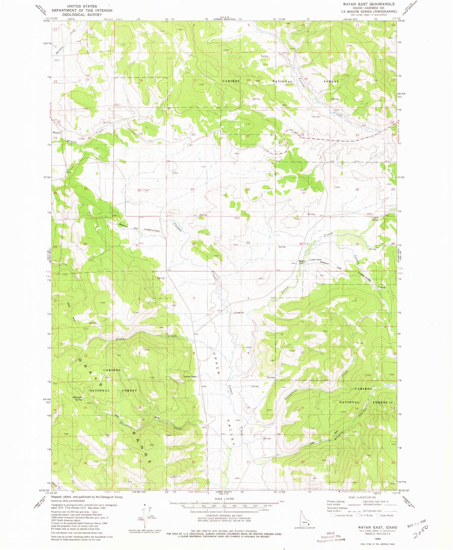
Historical USGS topographic quad map of Wayan East in the state of Idaho. Map scale may vary for some years, but is generally around 1:24,000. Print size is approximately 24" x 27"
This quadrangle is in the following counties: Caribou.
The map contains contour lines, roads, rivers, towns, and lakes. Printed on high-quality waterproof paper with UV fade-resistant inks, and shipped rolled.
Contains the following named places: Browns Canyon, Chippy Creek, Corrailsen Creek, Daves Creek, Lander Creek, Lanes Grave Cemetery, Middle Dairy, Midnight Spring, Old Williamsburg, Olsen Creek, Upper Dairy, Upper Valley, Williamsburg


