MyTopo
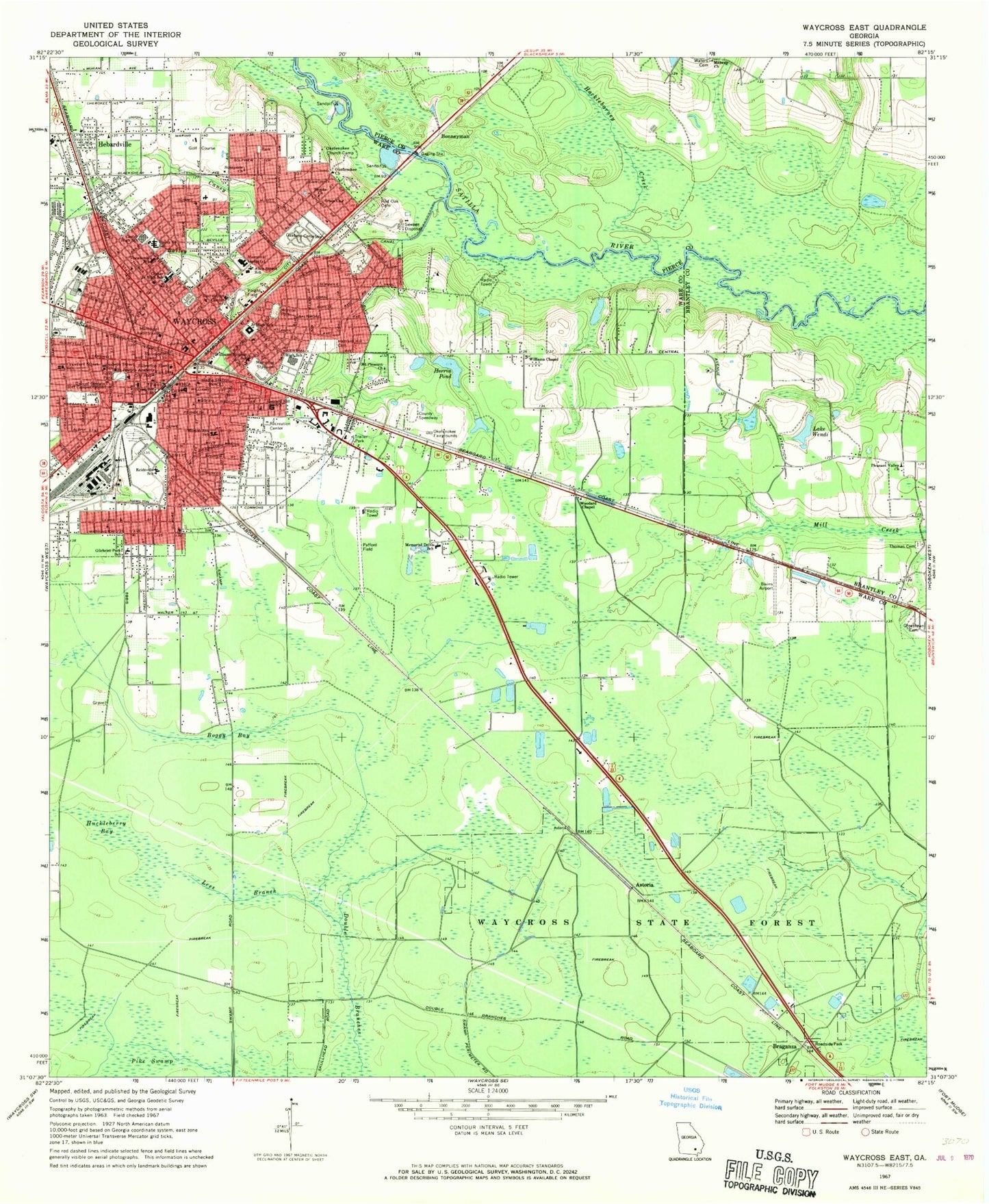
Classic USGS Waycross East Georgia 7.5'x7.5' Topo Map
Couldn't load pickup availability
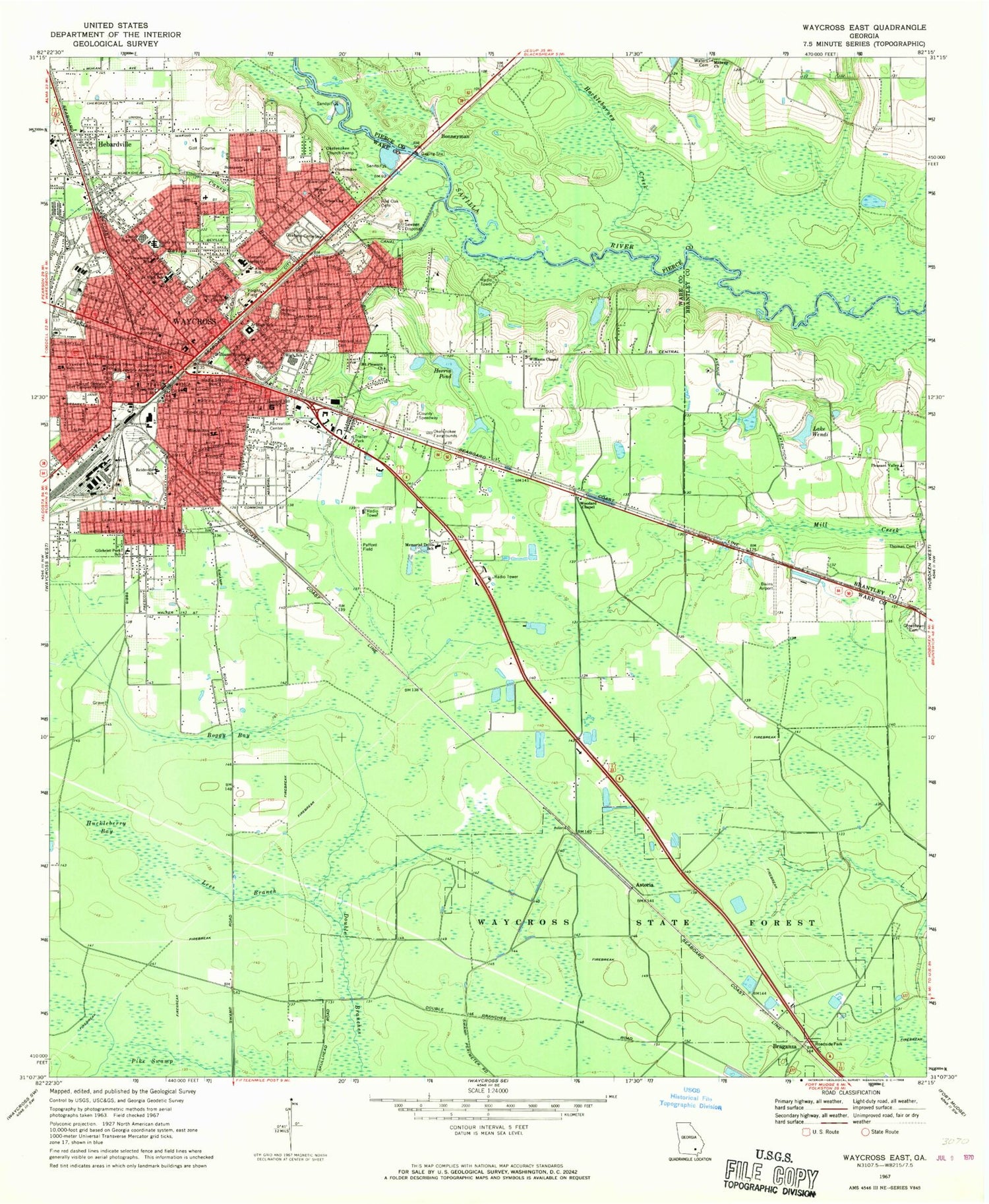
Historical USGS topographic quad map of Waycross East in the state of Georgia. Map scale may vary for some years, but is generally around 1:24,000. Print size is approximately 24" x 27"
This quadrangle is in the following counties: Brantley, Pierce, Ware.
The map contains contour lines, roads, rivers, towns, and lakes. Printed on high-quality waterproof paper with UV fade-resistant inks, and shipped rolled.
Contains the following named places: Albany Avenue Baptist Church, Alice Street School, Antioch Baptist Church, Astoria, Astoria Church, Austin Chapel Christian Methodist Episcopal Church, Ava Street High School, Bailey Branch, Bailey Street School, Big Bethel Freewill Baptist Church, Bivins Airport, Boggy Bay, Bonneyman, Brooks Church, Brunel Street Church of God, Calvary Baptist Church, Caney Branch, Center High School, Center Hill School, Center Junior High School, Central Avenue High School, Central Baptist Church, Church of Christ, Church of Christ Written, Church of God, Church of the Nazarene, City Drainage Canal, City of Waycross, Colley Street Vocational School, Community Holiness Church, Congregational First Born Church, Cornerstone Church of God, Crawford Street Baptist Church, Crawford Street School, Daffodil School, Deenwood Census Designated Place, Double Branches, Eagles Nest Church, El Bethel Church, Emmanuels International Cathedral Church, Faith Temple Church, First Assembly of God Church, First Baptist Church, First Born Church, First Born Sanctified Church, First Christian Church, First Church of the Nazarene, First Evangelical Methodist Church, First Methodist Church, First Presbyterian Church, Folks Park, Freedom Community Church, Friendship Baptist Church, Full Gospel Mission, Gaines Chapel African Methodist Episcopal Church, Georgia State Patrol Troop I Post 22, Gilchrist Methodist Church, Gilchrist Park School, Grace Chapel, Grace Church, Grace Episcopal Church, Greater Mount Zion African Methodist Episcopal Church, Greater Saint Paul Missionary Baptist Church, Greenlawn Cemetery, Hacklebarney Creek, Hatcher Point Mall Shopping Center, Hazzard Hill Cemetery, Hazzard Hill School, Hebardville, Hebardville Baptist Church, Hebardville Methodist Episcopal Church, Herrin Pond, Herrin Pond Dam, Hosanna Church of Christ, House of Prayer, Huckleberry Bay, Isabella Street School, King Solomon Methodist Episcopal Church, Lake Wendi, Lakeside Mobile Home Park, Lees Branch, Life Christian Center, Little Bethel African Methodist Episcopal Church, Lott Cemetery, Macedonia Baptist Church, Manor-Waycross Division, Marantha Church, Mason Temple Church of God, Memorial Drive Elementary School, Memorial Hospital Heliport, Memorial Satilla Health, Memorial Stadium, Midway Church, Monroe Park, Monroe Pond, Morton Avenue Baptist Mission, Morton Avenue School, Mount Olive Chapel Church of Christ, Mount Pleasant Cemetery, Mount Pleasant Church, Mount Pleasant Missionary Baptist Church, Mount Zion Methodist Church, New Hope Baptist Church, New Mount Pleasant Baptist Church, Newton Field, Nicks Bridge, Oakland Cemetery, Okefenokee Church, Okefenokee Church Camp, Okefenokee Fairgrounds, Olivet Baptist Church, Pafford Field, Piedmont Okefenokee Baptist Church, Pillar of Ground Sanctified Church, Pleasant Valley Church, Power House of Faith, Quarterman Street School, Red Oak Cemetery, Reidsville School, Riverside Nursing Home, Saint Ambrose Episcopal Church, Saint James Baptist Church, Saint Johns Baptist Church, Saint Josephs Academy, Saint Josephs Roman Catholic Church, Saint Lukes African Methodist Episcopal Church, Saint Pauls Baptist Church, Saint Peters Baptist Church, Saint Peters Missionary Baptist Church, Satilla Care Center, Satilla Square Shopping Center, Second Baptist Church, Seventh Day Adventist Church, Shiloh Baptist Church, South Georgia Ambulance, Southside Baptist Church, Southside Christian School, Southwood School, Sunnyside, Sunnyside Census Designated Place, Sunnyside Church, The Church of Jesus Christ of Latter Day Saints, Thomas Cemetery, Trinity Methodist Church, True Foundation Church of God, University of Georgia, Victory Drive Church of God, Voight Field, Waering Community Church, Ware County Courthouse, Ware County Fire Rescue Station 3 Southeast, Ware County Fire Rescue Station 5 Boggy Bay, Ware County Health Center, Ware Manor Nursing Home, Waycross, Waycross City Hall, Waycross Fire Department Station 2, Waycross Fire Department Station 3, Waycross Health and Rehabilitation Center, Waycross Historic District, Waycross Police Department, Waycross Post Office, Waycross Public Library, Waycross State Forest, Waycross Water Pollution Control Plant, Waycross-Blackshear Bridge, Westside Assembly of God Church, Whitehall Free Will Baptist Church, Williams Chapel, Williams Cut, Williams Heights School, Woodard Chapel, Woodwards Bridge, WWUF-FM (Waycross), Zachary Holliness Church, Zion Rest Primitive Baptist Church, ZIP Code: 31501


