MyTopo
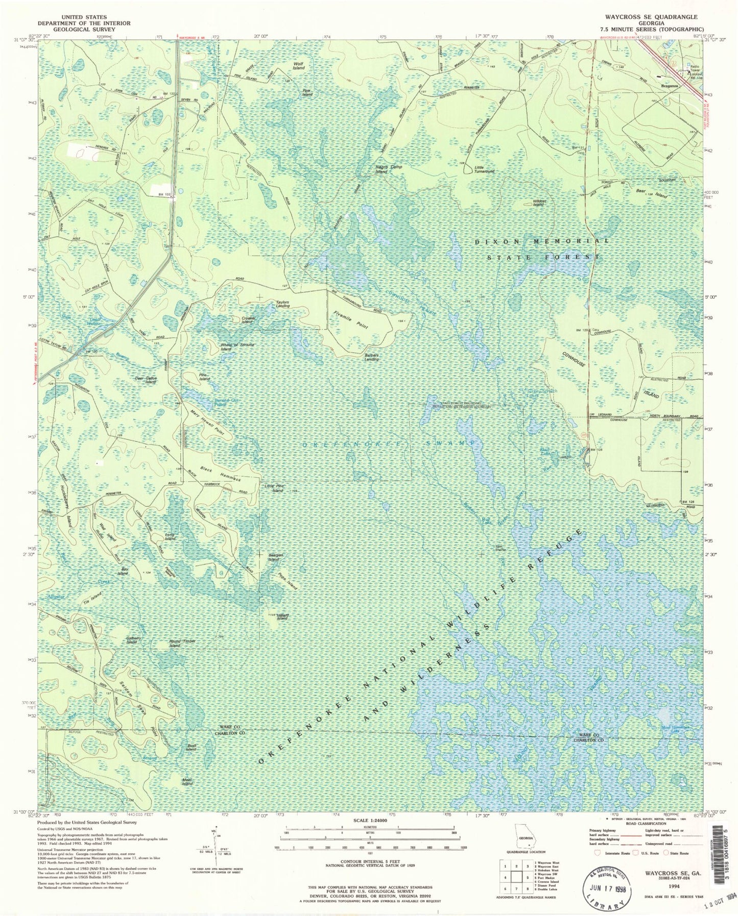
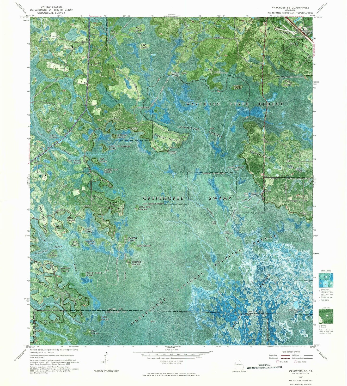
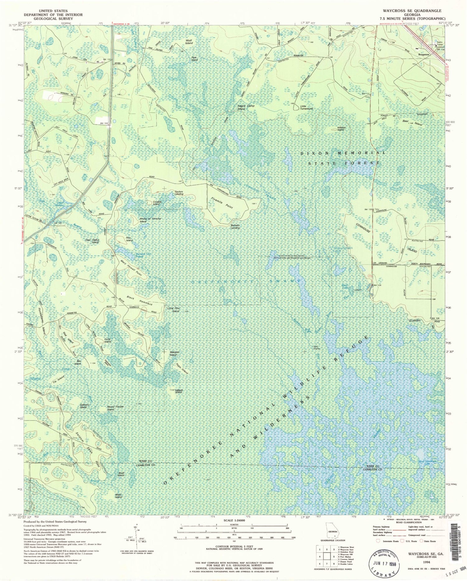
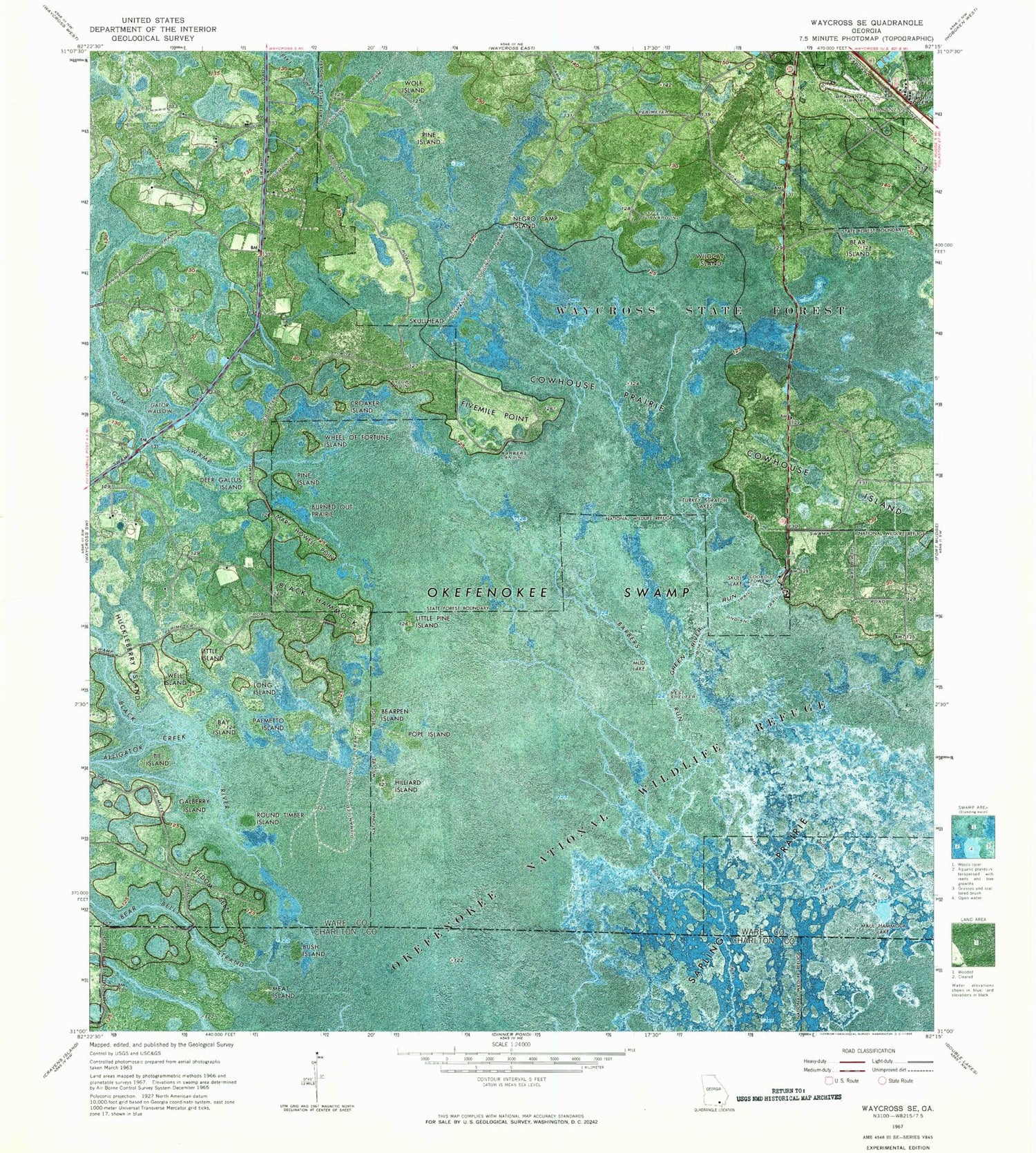
Classic USGS Waycross SE Georgia 7.5'x7.5' Topo Map
Couldn't load pickup availability
Historical USGS topographic quad map of Waycross SE in the state of Georgia. Map scale may vary for some years, but is generally around 1:24,000. Print size is approximately 24" x 27"
This quadrangle is in the following counties: Charlton, Ware.
The map contains contour lines, roads, rivers, towns, and lakes. Printed on high-quality waterproof paper with UV fade-resistant inks, and shipped rolled.
Contains the following named places: Alligator Creek, Barbers Landing, Barbers Run, Bay Island, Bear Belly Strand, Bear Island, Bearpen Island, Black Hammock, Black River, Braganza, Burned Out Prairie, Bush Island, Cowhouse Prairie, Croaker Island, Deer Gallus Island, Dixon Memorial State Forest, Fivemile Point, Galberry Island, Gator Wallow, Green River Run, Gum Swamp, Hillard Island, Huckleberry Island, Indian Trail, Little Island, Little Pine Island, Long Island, Mary Howell Point, Maul Hammock Lake, Meat Island, Mud Lake, Negro Camp Island, Palmetto Island, Pike Swamp, Pine Island, Pope Island, Round Timber Island, Sapling Prairie, Seldom Seen Point, Skull Lake, Skullhead, Taylors Landing, The Island, Turkey Scratch Lake, Waycross Division, Well Island, Wheel of Fortune Island, Wildcat Island, Wolf Island


